AutoPenalti wrote:TheStormExpert wrote:DestinHurricane wrote:I'm just saying the NHC's track and intensity suggests hurricane watches might be needed. Their track has the center 20 miles from Palm Beach and some people are acting like they have it 200 miles from Palm Beach.
Here’s the probability of seeing TS force winds. The plume shows the worst staying offshore and over towards Grand Bahama Island right now. Not saying that couldn’t change but the west side is the better side to be on as we saw with Matthew in 2016 and Dorian just last year.
https://i.ibb.co/tq1vyBS/2-E6122-F2-A61-E-4-CE2-86-F9-82593-FCEC39-C.png
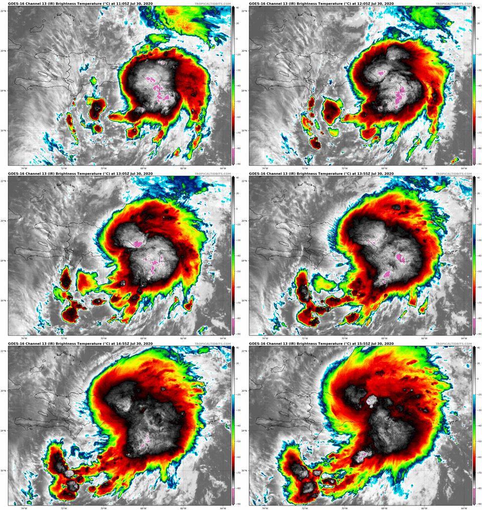
The wind-field seems a lot larger than what that graph is depicting.
It might be but it seems that it extends more North and East rather than South and West. We’d still likely see sustained TS winds on the current track here in Eastern Palm Beach County though.


