

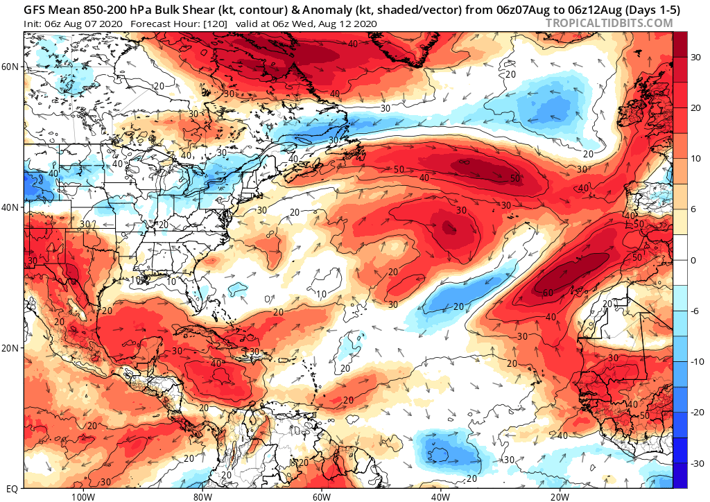
SouthFLTropics wrote:12z Euro starting to get into the MDR action as early as next Thursday
https://i.imgur.com/dRMLT07.png
SouthFLTropics, is there any relationship with what the 12z Euro is showing in the MDR and the convection currently at about 10N 35W?


