
Moderator: S2k Moderators


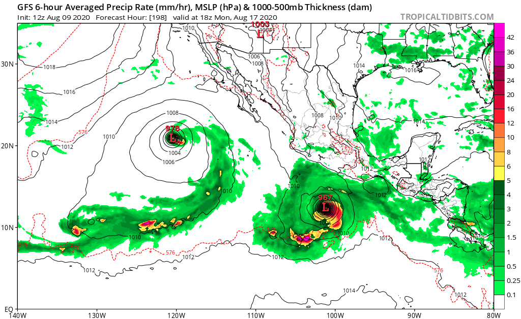
gatorcane wrote:The 12Z GFS cranked out 5 names system in the EPAC this run over two weeks. In the super-long range it shows them lining up just south of Central America where those above normal SSTs are. If this happens, would keep the shear pretty high over the Gulf and Caribbean as well as sinking air in those regions. I am a little skeptical the storms will keep cranking one after the other but we will see:
https://i.postimg.cc/c4wLBWVD/gfs-mslp-pcpn-epac-59.png
MarioProtVI wrote:gatorcane wrote:The 12Z GFS cranked out 5 names system in the EPAC this run over two weeks. In the super-long range it shows them lining up just south of Central America where those above normal SSTs are. If this happens, would keep the shear pretty high over the Gulf and Caribbean as well as sinking air in those regions. I am a little skeptical the storms will keep cranking one after the other but we will see:
https://i.postimg.cc/c4wLBWVD/gfs-mslp-pcpn-epac-59.png
The GFS seems to have a Pacific bias lately which also is a bit evident by the excess shear in the Caribbean. Highly doubt this will happen as the EPac this year has been trash (excluding Douglas and 01E) and it seems like the GFS doesn’t know we have a forming La Niña.


Kingarabian wrote:EPAC:
https://i.imgur.com/xoZOL3H.png
CPAC:
https://i.imgur.com/ARB6ccN.png
Looks like the NHC and maybe the CPHC will be busy throughout August.
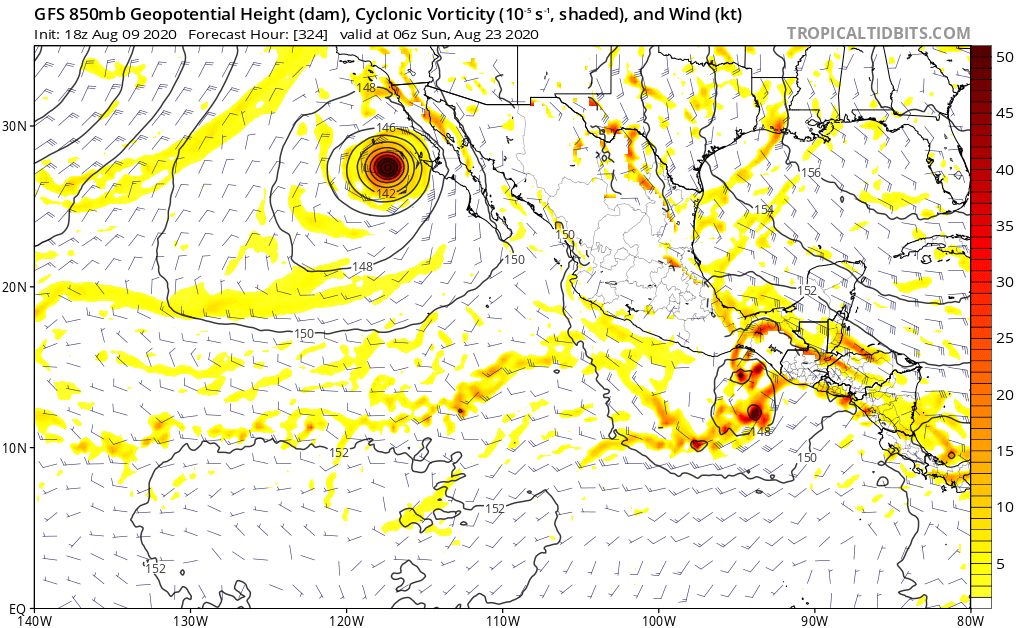

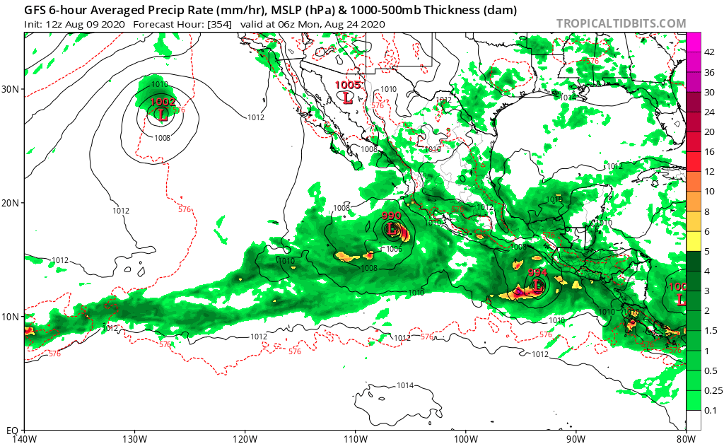
gatorcane wrote:Looks like the GFS continues to crank out storm after storm in the EPAC with no end in sight.
Users browsing this forum: No registered users and 102 guests


