Seems like the typical windshield wiping effect from the models, seems normal 10+ days out.
What to really watch for is the trend on the 500mb heights. Something I’ve come to notice more instead of actually seeing where the center goes.
ATL: LAURA - Models
Moderator: S2k Moderators
-
AutoPenalti
- Category 5

- Posts: 4091
- Age: 29
- Joined: Mon Aug 17, 2015 4:16 pm
- Location: Ft. Lauderdale, Florida
Re: ATL: INVEST 98L - Models
0 likes
The posts in this forum are NOT official forecasts and should not be used as such. They are just the opinion of the poster and may or may not be backed by sound meteorological data. They are NOT endorsed by any professional institution or STORM2K. For official information, please refer to products from the NHC and NWS.
Model Runs Cheat Sheet:
GFS (5:30 AM/PM, 11:30 AM/PM)
HWRF, GFDL, UKMET, NAVGEM (6:30-8:00 AM/PM, 12:30-2:00 AM/PM)
ECMWF (1:45 AM/PM)
TCVN is a weighted averaged
-
ConvergenceZone
.gif)
- Category 5
- Posts: 5241
- Joined: Fri Jul 29, 2005 1:40 am
- Location: Northern California
Re: ATL: INVEST 98L - Models
caneseddy wrote:stormlover2013 wrote:Icon showing fish it looks like will keep flip flopping
Actually it shows a west turn at the end of the run
ICON clearly missing Florida WAY TO THE EAST on the latest run. Too early to determine though if it will miss the Carolinas though. .... I guess I was wrong about the models , the trend does seem to be more out to sea now. We'll see if all of the remaining models are out to sea by morning. My bad, I thought the ridge above it was predicted be be much strong and extensive, but I guess not, and too many escape routes....
0 likes
-
SouthFLTropics

- Category 5
- Posts: 4258
- Age: 50
- Joined: Thu Aug 14, 2003 8:04 am
- Location: Port St. Lucie, Florida
Re: ATL: INVEST 98L - Models
Wait for it... I expect a few model shifts to the right, a few to the left, and then a compromise somewhere in the middle. Don’t right this off out to sea just yet.
Sent from my iPhone using Tapatalk
Sent from my iPhone using Tapatalk
3 likes
Fourth Generation Florida Native
Personal Storm History: David 79, Andrew 92, Erin 95, Floyd 99, Irene 99, Frances 04, Jeanne 04, Wilma 05, Matthew 16, Irma 17, Ian 22, Nicole 22, Milton 24
Personal Storm History: David 79, Andrew 92, Erin 95, Floyd 99, Irene 99, Frances 04, Jeanne 04, Wilma 05, Matthew 16, Irma 17, Ian 22, Nicole 22, Milton 24
-
AutoPenalti
- Category 5
- Posts: 4091
- Age: 29
- Joined: Mon Aug 17, 2015 4:16 pm
- Location: Ft. Lauderdale, Florida
Re: ATL: INVEST 98L - Models
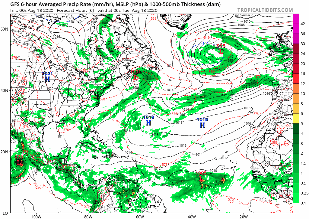
GFS 0z running. 1009 Low looks like.
0 likes
The posts in this forum are NOT official forecasts and should not be used as such. They are just the opinion of the poster and may or may not be backed by sound meteorological data. They are NOT endorsed by any professional institution or STORM2K. For official information, please refer to products from the NHC and NWS.
Model Runs Cheat Sheet:
GFS (5:30 AM/PM, 11:30 AM/PM)
HWRF, GFDL, UKMET, NAVGEM (6:30-8:00 AM/PM, 12:30-2:00 AM/PM)
ECMWF (1:45 AM/PM)
TCVN is a weighted averaged
-
floridasun78
- Category 5
- Posts: 3755
- Joined: Sun May 17, 2009 10:16 pm
- Location: miami fl
Re: ATL: INVEST 98L - Models
SouthFLTropics wrote:Wait for it... I expect a few model shifts to the right, a few to the left, and then a compromise somewhere in the middle. Don’t right this off out to sea just yet.
Sent from my iPhone using Tapatalk
models will change 200 time by saturday
2 likes
-
AutoPenalti
- Category 5
- Posts: 4091
- Age: 29
- Joined: Mon Aug 17, 2015 4:16 pm
- Location: Ft. Lauderdale, Florida
Re: ATL: INVEST 98L - Models
TT went down for me, must have glitched myself out of the server.
Edit: Looks like I’m back online, @ 132 showing a wave crashing the islands. So looks like no development from GFS yet.
Edit: Looks like I’m back online, @ 132 showing a wave crashing the islands. So looks like no development from GFS yet.
Last edited by AutoPenalti on Mon Aug 17, 2020 11:10 pm, edited 1 time in total.
0 likes
The posts in this forum are NOT official forecasts and should not be used as such. They are just the opinion of the poster and may or may not be backed by sound meteorological data. They are NOT endorsed by any professional institution or STORM2K. For official information, please refer to products from the NHC and NWS.
Model Runs Cheat Sheet:
GFS (5:30 AM/PM, 11:30 AM/PM)
HWRF, GFDL, UKMET, NAVGEM (6:30-8:00 AM/PM, 12:30-2:00 AM/PM)
ECMWF (1:45 AM/PM)
TCVN is a weighted averaged
-
ConvergenceZone
- Category 5
- Posts: 5241
- Joined: Fri Jul 29, 2005 1:40 am
- Location: Northern California
Re: ATL: INVEST 98L - Models
AutoPenalti wrote:GFS 0z running. 1009 Low looks like.
Man, I don't even see the storm on the tropical tidbits site looking at GFS at 144 hours, must still be off the side of the map
0 likes
-
Hurricaneman

- Category 5
- Posts: 7404
- Age: 45
- Joined: Tue Aug 31, 2004 3:24 pm
- Location: central florida
Re: ATL: INVEST 98L - Models
ConvergenceZone wrote:AutoPenalti wrote:GFS 0z running. 1009 Low looks like.
Man, I don't even see the storm on the tropical tidbits site looking at GFS at 144 hours, must still be off the side of the map
Kills it over Hispaniola, plus the GFS doesn’t do much with it at all.
If I’m a betting man I would bet against the GFS
0 likes
-
AutoPenalti
- Category 5
- Posts: 4091
- Age: 29
- Joined: Mon Aug 17, 2015 4:16 pm
- Location: Ft. Lauderdale, Florida
Re: ATL: INVEST 98L - Models
ConvergenceZone wrote:AutoPenalti wrote:GFS 0z running. 1009 Low looks like.
Man, I don't even see the storm on the tropical tidbits site looking at GFS at 144 hours, must still be off the side of the map
Wow, I’ve never seen such a conservative GFS.
2 likes
The posts in this forum are NOT official forecasts and should not be used as such. They are just the opinion of the poster and may or may not be backed by sound meteorological data. They are NOT endorsed by any professional institution or STORM2K. For official information, please refer to products from the NHC and NWS.
Model Runs Cheat Sheet:
GFS (5:30 AM/PM, 11:30 AM/PM)
HWRF, GFDL, UKMET, NAVGEM (6:30-8:00 AM/PM, 12:30-2:00 AM/PM)
ECMWF (1:45 AM/PM)
TCVN is a weighted averaged
-
ConvergenceZone
- Category 5
- Posts: 5241
- Joined: Fri Jul 29, 2005 1:40 am
- Location: Northern California
Re: ATL: INVEST 98L - Models
BobHarlem wrote:0z GFS is similar to 18z, basically sheared and poof (gone).
Oh well, maybe it knows something we don't I guess....
0 likes
-
Hurricaneman
- Category 5
- Posts: 7404
- Age: 45
- Joined: Tue Aug 31, 2004 3:24 pm
- Location: central florida
Re: ATL: INVEST 98L - Models
ConvergenceZone wrote:BobHarlem wrote:0z GFS is similar to 18z, basically sheared and poof (gone).
Oh well, maybe it knows something we don't I guess....
Based on how it looks now I would guess the GFS is on drugs
0 likes
-
AutoPenalti
- Category 5
- Posts: 4091
- Age: 29
- Joined: Mon Aug 17, 2015 4:16 pm
- Location: Ft. Lauderdale, Florida
Re: ATL: INVEST 98L - Models
Last edited by AutoPenalti on Mon Aug 17, 2020 11:21 pm, edited 1 time in total.
0 likes
The posts in this forum are NOT official forecasts and should not be used as such. They are just the opinion of the poster and may or may not be backed by sound meteorological data. They are NOT endorsed by any professional institution or STORM2K. For official information, please refer to products from the NHC and NWS.
Model Runs Cheat Sheet:
GFS (5:30 AM/PM, 11:30 AM/PM)
HWRF, GFDL, UKMET, NAVGEM (6:30-8:00 AM/PM, 12:30-2:00 AM/PM)
ECMWF (1:45 AM/PM)
TCVN is a weighted averaged
-
AutoPenalti
- Category 5
- Posts: 4091
- Age: 29
- Joined: Mon Aug 17, 2015 4:16 pm
- Location: Ft. Lauderdale, Florida
Re: ATL: INVEST 98L - Models
I am slightly annoyed that the gif isnt playing.
0 likes
The posts in this forum are NOT official forecasts and should not be used as such. They are just the opinion of the poster and may or may not be backed by sound meteorological data. They are NOT endorsed by any professional institution or STORM2K. For official information, please refer to products from the NHC and NWS.
Model Runs Cheat Sheet:
GFS (5:30 AM/PM, 11:30 AM/PM)
HWRF, GFDL, UKMET, NAVGEM (6:30-8:00 AM/PM, 12:30-2:00 AM/PM)
ECMWF (1:45 AM/PM)
TCVN is a weighted averaged
-
lsuhurricane
- Category 1

- Posts: 270
- Joined: Tue Aug 15, 2017 2:53 pm
Re: ATL: INVEST 98L - Models
I can’t believe I’m saying this, but........the Canadian is the most consistent from its last run so far. Both systems near their prior forecasted spot
3 likes
-
ConvergenceZone
- Category 5
- Posts: 5241
- Joined: Fri Jul 29, 2005 1:40 am
- Location: Northern California
Re: ATL: INVEST 98L - Models
AutoPenalti wrote:I am slightly annoyed that the gif isnt playing.
I agree, the GFS is acting as if it's June or July or something! Come on GFS get with the program!!!!
0 likes
-
SouthFLTropics
- Category 5
- Posts: 4258
- Age: 50
- Joined: Thu Aug 14, 2003 8:04 am
- Location: Port St. Lucie, Florida
Re: ATL: INVEST 98L - Models
The CMC is like Molly Hatchet and is flirting with disaster on the Northern coasts of the Greater Antilles. One thing to note on the CMC though is how stout the ridge is.
Sent from my iPhone using Tapatalk
Sent from my iPhone using Tapatalk
2 likes
Fourth Generation Florida Native
Personal Storm History: David 79, Andrew 92, Erin 95, Floyd 99, Irene 99, Frances 04, Jeanne 04, Wilma 05, Matthew 16, Irma 17, Ian 22, Nicole 22, Milton 24
Personal Storm History: David 79, Andrew 92, Erin 95, Floyd 99, Irene 99, Frances 04, Jeanne 04, Wilma 05, Matthew 16, Irma 17, Ian 22, Nicole 22, Milton 24
-
SouthFLTropics
- Category 5
- Posts: 4258
- Age: 50
- Joined: Thu Aug 14, 2003 8:04 am
- Location: Port St. Lucie, Florida
Re: ATL: INVEST 98L - Models
CMC is GOM bound by way of Havana.
Sent from my iPhone using Tapatalk
Sent from my iPhone using Tapatalk
2 likes
Fourth Generation Florida Native
Personal Storm History: David 79, Andrew 92, Erin 95, Floyd 99, Irene 99, Frances 04, Jeanne 04, Wilma 05, Matthew 16, Irma 17, Ian 22, Nicole 22, Milton 24
Personal Storm History: David 79, Andrew 92, Erin 95, Floyd 99, Irene 99, Frances 04, Jeanne 04, Wilma 05, Matthew 16, Irma 17, Ian 22, Nicole 22, Milton 24
-
SouthFLTropics
- Category 5
- Posts: 4258
- Age: 50
- Joined: Thu Aug 14, 2003 8:04 am
- Location: Port St. Lucie, Florida
Re: ATL: INVEST 98L - Models
By 192 hours CMC is in the Central GOM, wayyyyyy left of the 00z ICON and the 12z Euro.
Sent from my iPhone using Tapatalk
Sent from my iPhone using Tapatalk
0 likes
Fourth Generation Florida Native
Personal Storm History: David 79, Andrew 92, Erin 95, Floyd 99, Irene 99, Frances 04, Jeanne 04, Wilma 05, Matthew 16, Irma 17, Ian 22, Nicole 22, Milton 24
Personal Storm History: David 79, Andrew 92, Erin 95, Floyd 99, Irene 99, Frances 04, Jeanne 04, Wilma 05, Matthew 16, Irma 17, Ian 22, Nicole 22, Milton 24
Who is online
Users browsing this forum: No registered users and 54 guests