
Aric Dunn wrote:And here is SCAT SAT of the same area..
not any better. 2 hours later.
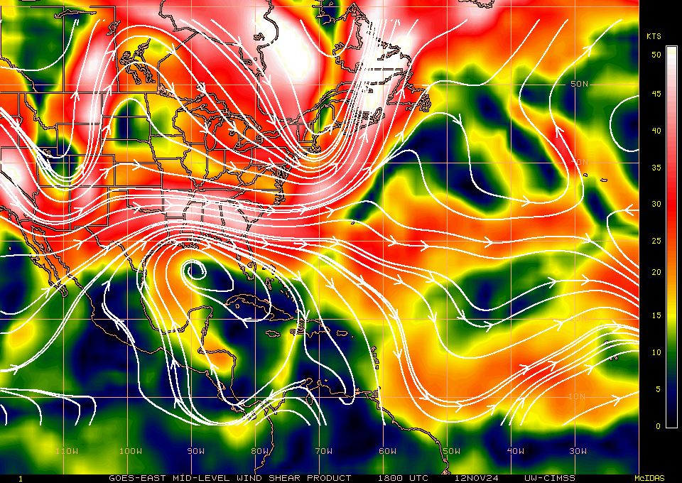
next up are the ASCATs I am guessing they will be very similar.
at least two models show all these vorts ( HWRF/HMON)
https://i.ibb.co/6HNTNTr/scasa-20200818-22-43-flag.png
Obviously nothing of consequence will develop with multiple vorts. How long do you think before it coalesces .. couple days?


