

SFLcane wrote:gatorcane wrote:SouthFLTropics wrote:Call me confused but I just don't see why the Euro wouldn't spin this up if it avoids the big islands. What does it see that we aren't seeing. Maybe dry air. I don't know.
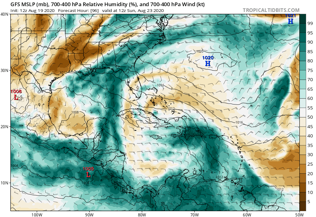
My guess is too much dry and stable air around it. Isaias had the same problem in the Bahamas if you recall. I am just looking at the GFS graphics to take that guess since we don’t have access to the same Euro charts.
https://i.postimg.cc/1XPKpn62/gfs-mid-RH-watl-17.png
RH not a problem on the Euro in the Bahamas.
Maybe the Euro (and the GFS) are moving it too quickly then so it can’t really consolidate


