Dean4Storms wrote:The 12z ECM EPS didn’t help matters much at all.
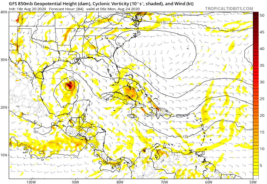
We have a fairly large TD with some dry air at mid level but nothing over impressive, low shear for much of its journey and coming underneath an expanding and strengthening Bermuda Ridge as it gets basically North of Hispaniola.....all recipes for major intensification. What are we missing?
I believe the models see the dry air, which has always been an issue for intensification. If dry air is as bad as many of them say, this system will struggle. I believe the models will settle on a low-end category 1 as time goes on. Dry air will likely limit the storm, but I doubt it kills the storm or keeps it low-end TS with all that energy out there.