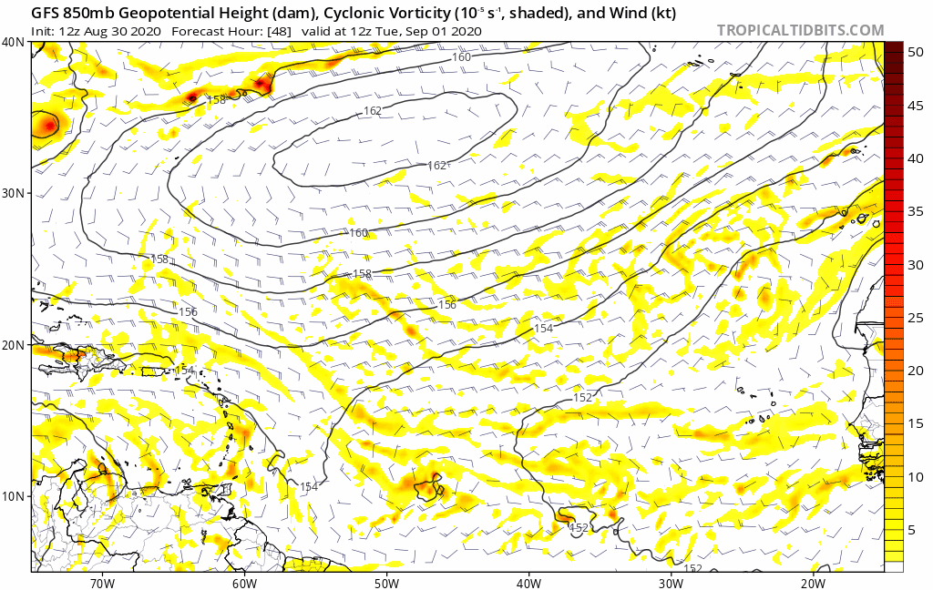
ronjon wrote:SFLcane wrote:Big trough dipping there at the end Into the CONUS.
Yes but it isn't progressive and actually may be retrograding west due to strengthening Atlantic Ridge. GFS now depicting something similar after its big fall like trough yesterday.
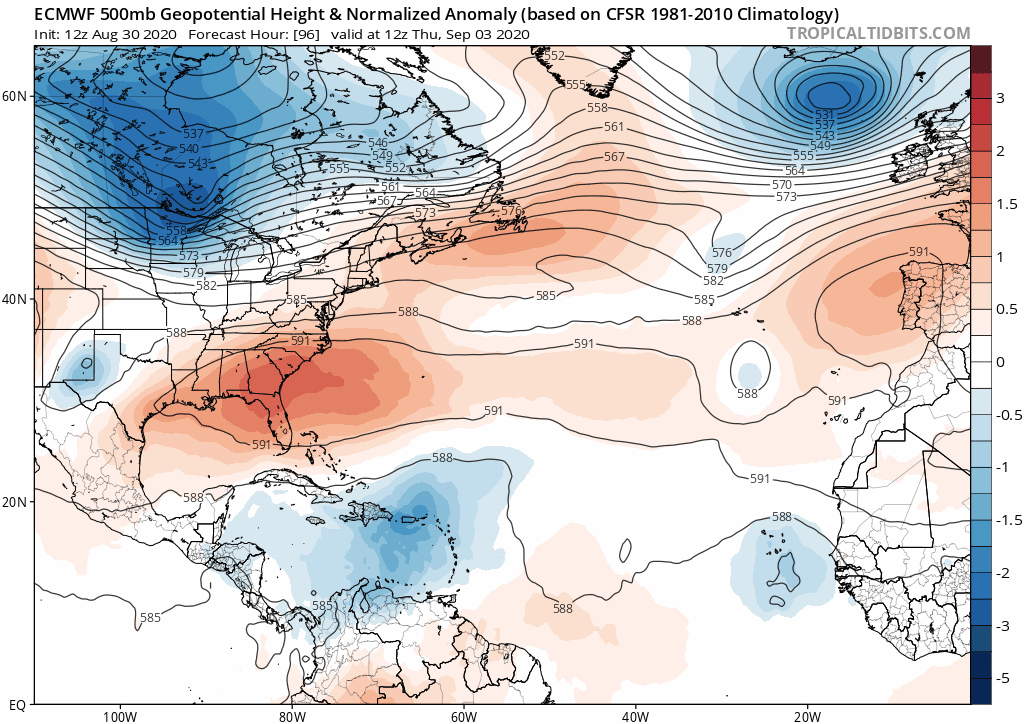
Out of everything in the tropics now, I think that this wave still over Africa has the highest chance to potentially eventually threaten the E coast of the CONUS with a TC. IF that would even threaten, it wouldn't be for at least 2 weeks or so..say, 9/13-16ish. Also around then, assuming we get the bottom of that cool Canadian high around 9/9-12 (still favored by the 12Z EPS), and IF that aforementioned African wave doesn't actually threaten, we MAY have to worry about something homegrown possibly vaguely similar to Diana of 1984 due to a possibly similar setup to 1984.
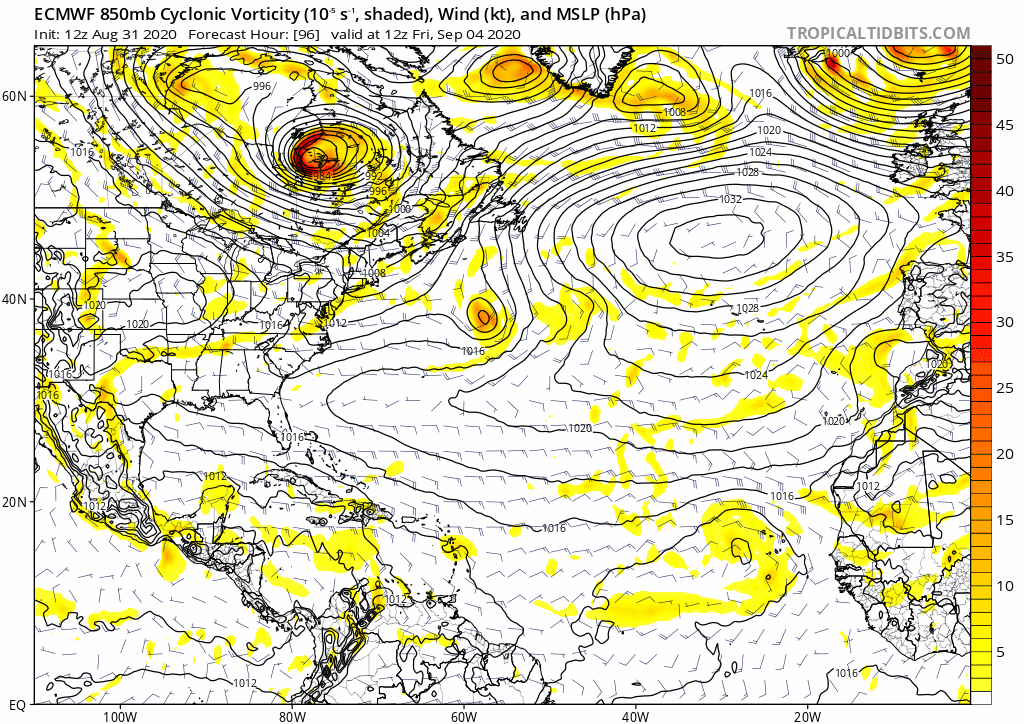
But back to this African wave, here's the 12Z EPS hour 360 H5/sfc, which shows a restrengthening WAR (as per ronjon). Also, note the upward kink in the 1016 mb isobar off of Florida, indicative of locally lower pressure:

And here are the individual members showing a TC: all of these are from this same wave:

in summary as of now, I'm thinking most likely a quiet Sep 1-12 tropical threat-wise for the E coast of the CONUS (hopefully including a nice gift from Canada for some), followed by a "watch the tropics" period near midmonth.