

Moderator: S2k Moderators

LarryWx wrote:The fact is that there are significantly fewer ensemble members on all runs through 12Z on both the GEFS and Para GEFS that hit or even come close to the Bahamas and CONUS vs runs of 24-30 hours ago. Also, the CMC and Euro ensembles have had very few members even threatening since 12Z yesterday. That much is factual info and that should be considered in assessing the chances of these areas being threatened. I guarantee that if it were the other way around, all the talk here would be about the more threatening ensembles. Because most folks want more to talk about and who find it much more interesting if there is a potential threat, there is going to be a natural bias toward downplaying model trends going in the less threatening direction/finding reasons the models may be off and up-playing model trends going in the more threatening direction and not trying as hard to find reasons they’re off.
I’m observed that posts that have a more threatening tone tend to get more likes on average than those that do the opposite. That’s the nature of a typical wx bb.
I like to consider myself a neutral observer as regards reporting on objective model trends.
So, to summarize, the objective model trends have clearly gone in the less threatening direction vs 24 hours ago whether that trend is downplayed or not.
That being said, there’s a long way to go and the models could always trend back the other way. But my bigger concern is not that I think they’ll necessarily trend back the other way but that there could be another system that may not even exist yet that could threaten.
TheStormExpert wrote:The 12z Euro at hour 216 has three distinct systems in the Atlantic. None look to be a threat to at least the U.S.
https://i.ibb.co/m84LV3h/ecmwf-mslpa-atl-10.png
https://i.ibb.co/B4tQMJC/ecmwf-z500a-Norm-atl-10.png
sma10 wrote:TheStormExpert wrote:The 12z Euro at hour 216 has three distinct systems in the Atlantic. None look to be a threat to at least the U.S.
https://i.ibb.co/m84LV3h/ecmwf-mslpa-atl-10.png
https://i.ibb.co/B4tQMJC/ecmwf-z500a-Norm-atl-10.png
Such a weird looking pattern in the Atlantic. If fits though because it's been a weird year


Hypercane_Kyle wrote:Massive TC outbreak on the 12z Euro:
Paulette by 72 hours, followed by Rene and Sally by 168 hours. Teddy also forms off the US East Coast, with hints of pressure dropping in the BOC (GFS-Para has been showing this for a few days too) as the tail end of that cold front splits there too.
If this occurs, we'd be on track to reach the Greek alphabet by the end of September.
Hurricaneman wrote:The 12zEuro seems to break off a piece of Omar and send it towards the east coast, need to keep an eye on if that happens as no other model has that
TheStormExpert wrote:The 12z Euro at hour 216 has three distinct systems in the Atlantic. None look to be a threat to at least the U.S.
https://i.ibb.co/m84LV3h/ecmwf-mslpa-atl-10.png
https://i.ibb.co/B4tQMJC/ecmwf-z500a-Norm-atl-10.png


LarryWx wrote:TheStormExpert wrote:The 12z Euro at hour 216 has three distinct systems in the Atlantic. None look to be a threat to at least the U.S.
https://i.ibb.co/m84LV3h/ecmwf-mslpa-atl-10.png
https://i.ibb.co/B4tQMJC/ecmwf-z500a-Norm-atl-10.png
Actually, I don't necessarily agree that all 3 look to not be a threat The low off the SE US coast is a homegrown low (Hurricaneman thinks it is from something left behind by Omar) that is actually being blocked as a new upper high starts to build right near the SE coast and a big surface high builds over the NE US. As I've said, new building upper highs are often the most dangerous.
I have detailed 6 hour maps. The very last movement from 234 to 240 was very slowly to the SE. 500 mb winds are from N to S. I'm willing to bet that if maps were to go out further that the low would start to move S, then SW, and then W toward FL.
To answer your question, this sort of homegrown thing is actually what I'm more concerned about than the current MDR systems, which are increasingly likely looking to recurve (though far from a done deal). OTOH, this Euro run may be hinting at what we need to watch more carefully, a sort of "ridge over troubled waters pattern" as Bastardi calls it.

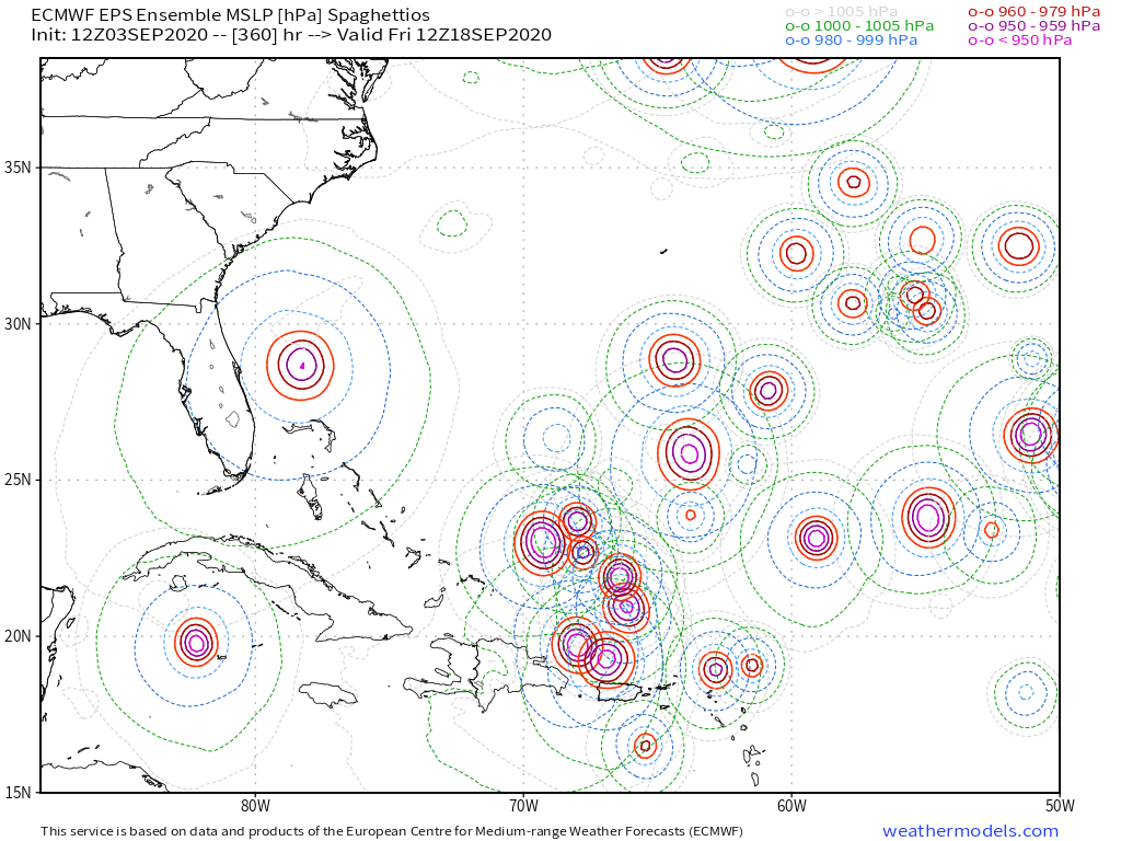
SFLcane wrote:Long range EPS this afternoon...
New TW comes off Africa in a 4-5 days
https://i.postimg.cc/PJ4h5nB6/1-A578579-D137-46-C0-91-D4-FA5-E732-DB3-AC.png
SFLcane wrote:Long range EPS this afternoon...
New TW comes off Africa in a 4-5 days
https://i.postimg.cc/PJ4h5nB6/1-A578579-D137-46-C0-91-D4-FA5-E732-DB3-AC.png
SFLcane wrote:Long range EPS this afternoon...
New TW comes off Africa in a 4-5 days
https://i.postimg.cc/PJ4h5nB6/1-A578579-D137-46-C0-91-D4-FA5-E732-DB3-AC.png


LarryWx wrote:Because nobody is really talking about this much, here's the 18Z ICON, which is still another run with a very weak sfc low off the SE coast that is only crawling N here. All ICON runs since 0Z have had something similar and today's 2 Euro runs also had something vaguely similar. Something worth monitoring. Also, watch that low in the
Gulf. Ridge over troubled waters pattern:
https://i.imgur.com/5nElB3l.png
Users browsing this forum: Kingarabian, ljmac75, USTropics and 271 guests


