

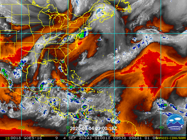
gatorcane wrote:Labor Day weekend 2020 has started and just no real threats to any land areas outside maybe the Cabo Verde islands with a wave to exit Africa this week. Looking at the loop just not much going on outside of some “fruit salad” in the far eastern Atlantic shaded by NHC. Plenty of dry air is still around, here in South Florida hazy skies were widespread today. Also the board feels a bit quiet lately considering the time of year it is which is another indicator no real threats to land that we can see. Let’s hope this good news continues.
https://i.postimg.cc/13DM1Nx6/ED200995-4-D74-4-D49-B4-CC-11667-FBFC275.gif
Well development was expected to be slow over the weekend until early next week anyways. Dry Air is fickle, and can disappear real quick, and the moisture of all the waves will def give them a nice pouch in the short term.


