


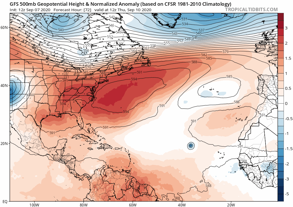
TheStormExpert wrote:NDG wrote:gatorcane wrote:The 12Z GFS shows a very progressive 500mb pattern with each trough getting progressively stronger as well. Difficult to get the current Cape Verde storms anywhere close to the CONUS with this pattern. Something would have to be very far south and travel through the Caribbean recurving across the Western Caribbean:
https://i.postimg.cc/fTWP5gRJ/gfs-z500a-Norm-atl-fh72-300.gif
After yet again failing with the trough pattern for next you still believe the GFS past its 120 hr forecast range?
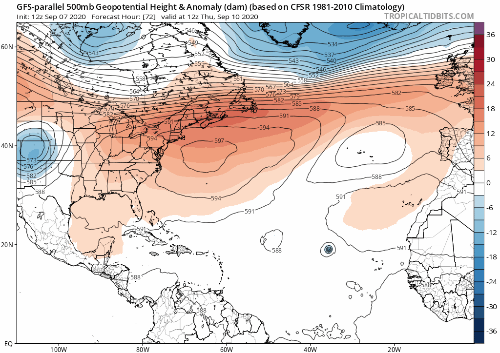
https://i.imgur.com/jj3Tbmj.gif
This is not like the last five years where a strong Bermuda High was there to shove storms west regardless of how quickly the spin up. Currently there are no indications of a Bermuda High whatsoever. So unless something fails to quickly develop before 50-60°W longitude everything I more likely to recurve.
All the highs are coming from the US East Coast. Ridges to the north will mean timing is a big factor for anything north of 28-30N


