Steve wrote:UTSARoadrunner4 wrote:northjaxpro wrote:
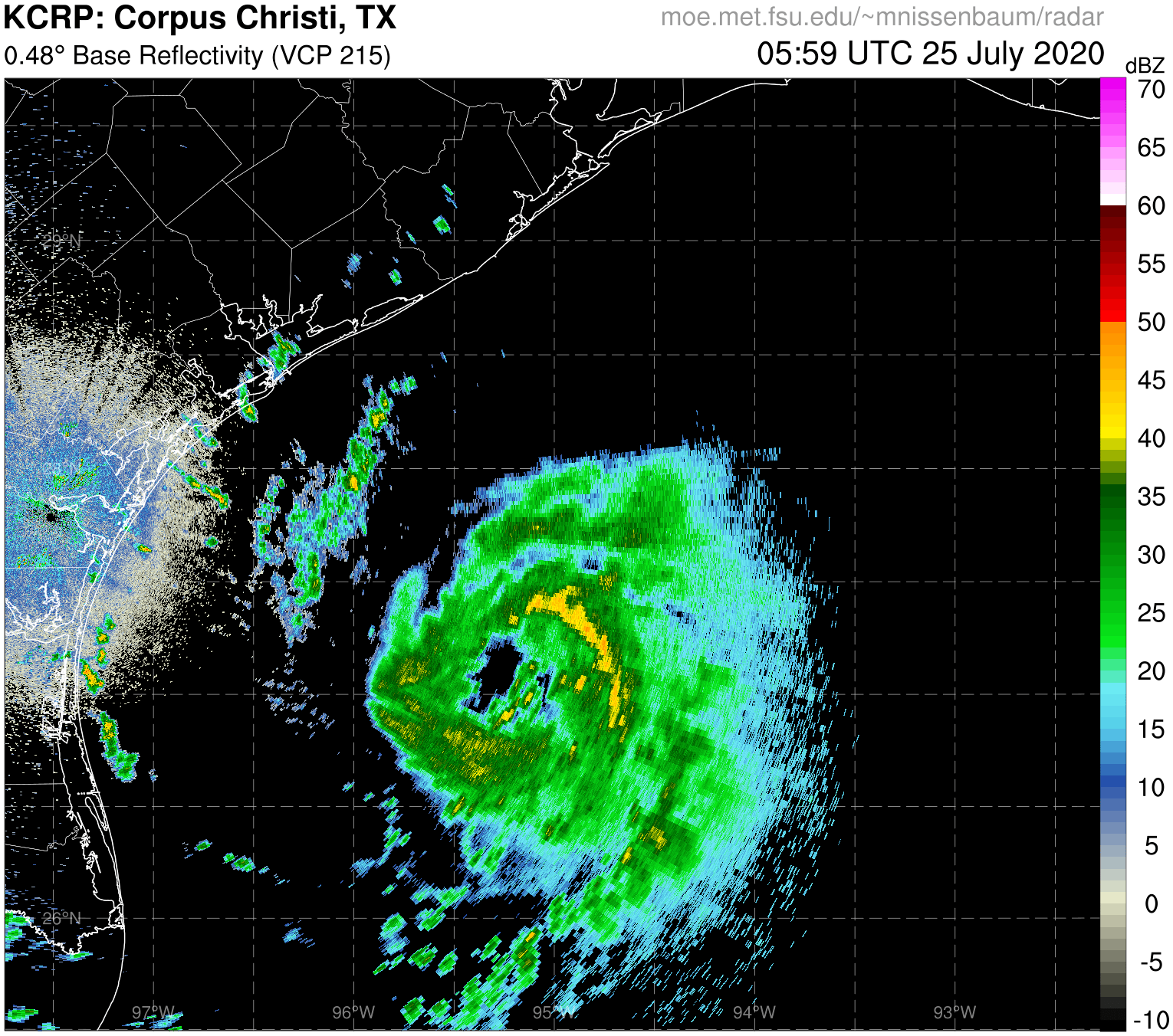
The ridging across the Eastern U.S. at both the surface and upper levels (500 mb) should effectively block soon to be Wilfred., at least up until Tuesday. He will be meandering down there for quite awhile.
I'm confused. If there is a strong ridge across the Eastern US and a weak frontal boundary approaching it, wouldn't that make the ridge lift the frontal boundary over itself or would that push the ridge out of the way? Also, if the frontal boundary gets lifted over the ridge, wouldn't that cause for a track between maybe Vermilion Bay & Matagorda Bay?
The front is ahead of the ridge. 3090 said the system would find a weakness as it butted up against it and head out. I don't think that's going to happen at least for this wave. GFS has changed its tune completely and is kind of A Day After Tomorrow run where it takes the first low, brings it up, and moves it toward Texas. A new low forms at the tail end of the front in SWLA and another forms in the Bay of Campeche which looks to become a TD/TS and spins around down in the Bay. Normally I'd say I'm not buying it, but ICON keeps the original low and has it moving NE at 983mb heading toward LA in 7 1/2 days. So it's possible there's just a lot of noise that needs to reconcile.
Here is the issue with the GFS. Plain and simple. It is confused.
“GFS has the parent low lifting north, then turning left, weakening and finding its way into Texas BUT there is more, it leaves more convection over the western Gulf so a new storm is forming off LA Coast while another storm is coming out of the BOC. Safe to say the GFS is struggling with all of these convective feedback problems so it wants to turn every blob into a storm“.
Now back to the normal, very clear and understandable future track of Wilfred.


