#70 Postby HurricaneAndre2008 » Fri Oct 02, 2020 12:49 am
000
ABNT20 KNHC 020546
TWOAT
Tropical Weather Outlook
NWS National Hurricane Center Miami FL
200 AM EDT Fri Oct 2 2020
For the North Atlantic...Caribbean Sea and the Gulf of Mexico:
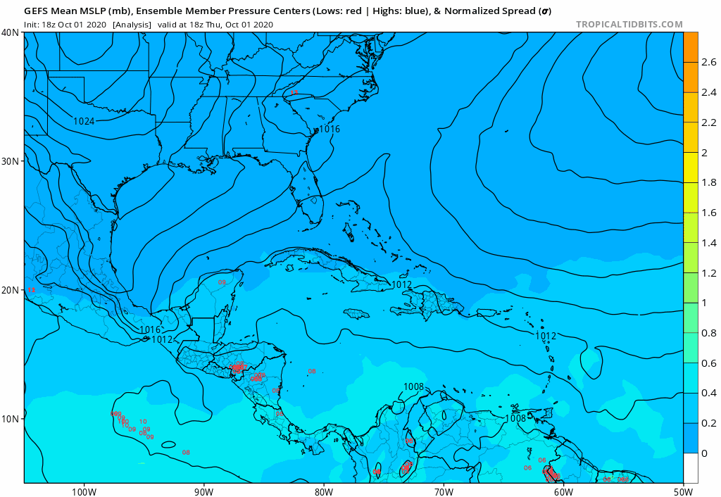
Satellite imagery indicates that shower activity associated with
the broad low pressure are over the northwestern Caribbean Sea is
becoming better organized. Environmental conditions are expected
to be conducive for a tropical depression or a tropical storm to
form later today or Saturday if the system remains over the waters
of the northwestern Caribbean Sea or southern Gulf of Mexico.
Interests in the Yucatan Peninsula and northern Central America
should monitor the progress of this system as it moves generally
northwestward, as tropical storm watches or warning may be required
for portions of these areas later today or tonight. Regardless of
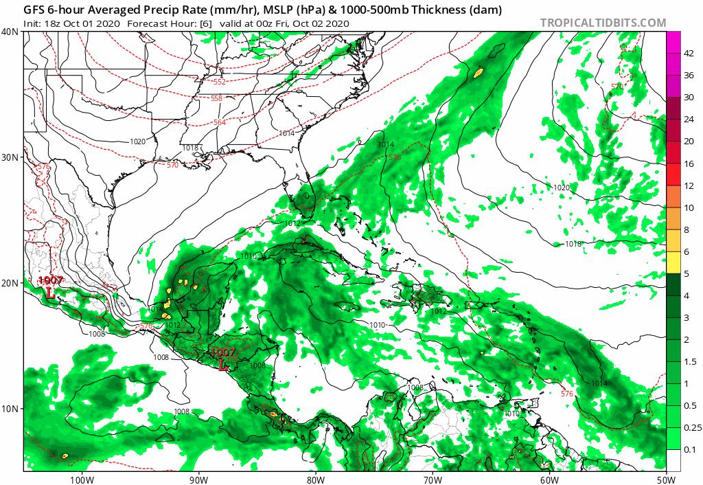
development, this system is expected to produce heavy rains, with
possible flash flooding, over portions of southeastern Mexico,
Central America, and western Cuba during the next several days. An
Air Force Reserve reconnaissance aircraft is scheduled to
investigate the system this afternoon, if necessary.
* Formation chance through 48 hours...high...80 percent.
* Formation chance through 5 days...high...80 percent.
$$
Forecaster Beven
0 likes
Cindy(2005), Katrina(2005), Rita(2005), Erin(2007), Isaac(2012)


