


Moderator: S2k Moderators


Frank2 wrote:I agree TC genesis remains around the 19th, but if the system is still near Miami by the 29th something isn't right - we've seen this trend before and it often results in a non-event...


AutoPenalti wrote:
Oh no, what has he done... why.


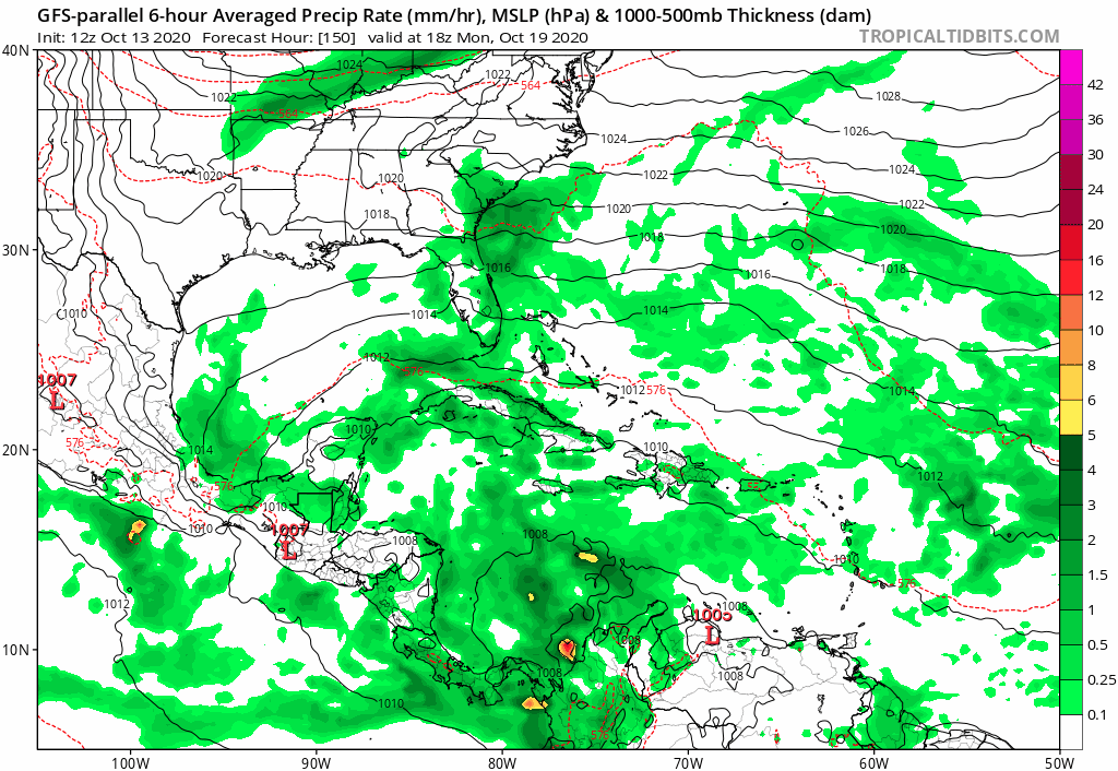

edu2703 wrote:12z GFS-para shows this storm crossing Central America into the Pacific
https://s8.gifyu.com/images/410f52ce-9395-41e4-b7a0-eed04d8d412b.gif


edu2703 wrote:12z GFS-para shows this storm crossing Central America into the Pacific
https://s8.gifyu.com/images/410f52ce-9395-41e4-b7a0-eed04d8d412b.gif
aspen wrote:The 12z Euro and GFS-Para runs both show a very similar scenario of Epsilon, Zeta, and Eta developing within the next 7-10 days, with Epsilon and Zeta both forming in the subtropics.
The Euro has Epsilon's precursor form on Saturday, and Zeta following on Monday from a large non-tropical low. It's pretty bearish on Epsilon but sends it towards the US East Coast. The precursor for Eta is present, but the Euro doesn't do anything with it.
https://i.imgur.com/pqyF4ci.png
https://i.imgur.com/cMhv3sN.png
https://i.imgur.com/WGlgxk0.png
https://i.imgur.com/WRL3Z5P.png
The GFS-Parallel has a very similar precursor for Epsilon developing at the same time and location, although the system ends up as a tiny speck of vorticity. Zeta forms out of that large non-tropical low on Monday as well, and the gyre develops in Eta in the SW Caribbean.
https://i.imgur.com/9FPe99o.png
https://i.imgur.com/zxsy7B8.png
https://i.imgur.com/mKA2R22.png
This level of agreement between one genesis-happy model and another that couldn't sniff out a Cat 4 just a few days away is very interesting. At the very least, the precursor for potential-Epsilon should be highlighted in the TWO by Thursday at the latest.
Frank2 wrote:I agree TC genesis remains around the 19th, but if the system is still near Miami by the 29th something isn't right - we've seen this trend before and it often results in a non-event...
Users browsing this forum: No registered users and 128 guests


