#752 Postby aspen » Sat Oct 17, 2020 8:34 pm
Here are the three moving parts in this scenario right now:
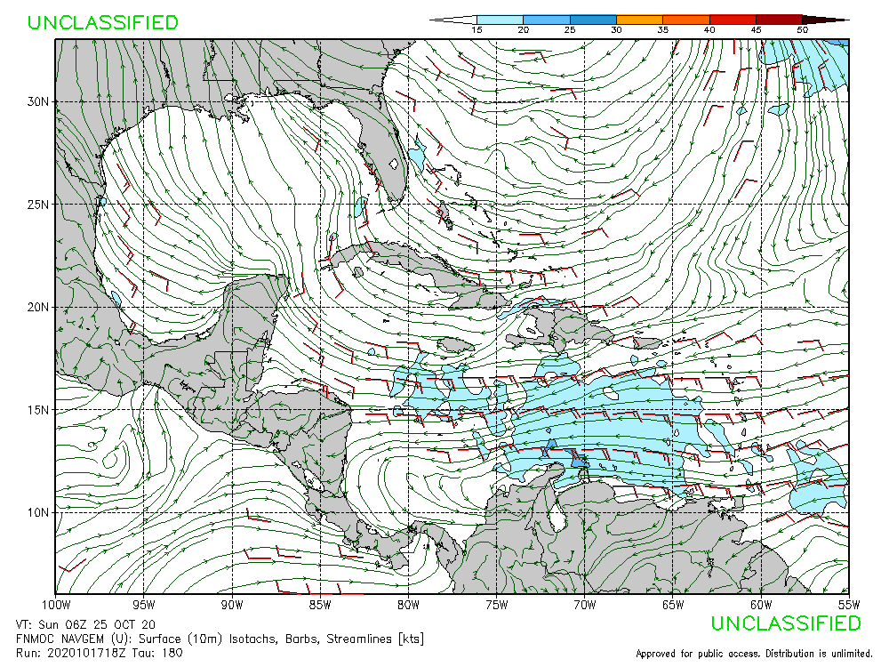
1.) Zeta’s gyre — the models have been struggling with the overall size of the area of spin, and many have tried to concentrate vorticity on the NE side. If the center of spin is smaller and becomes more concentrated, we would see earlier development more to the SW.
2.) Epsilon/94L — it’ll break down the ridge but only temporarily. Depending on how strong and fast or slow it is, either it’ll allow the ridge to rebuild and block Zeta, or it’ll drag Zeta to the NE.
3.) The Yucatán Low — a second lobe to the gyre/another area of low pressure moving from the GAs to the Yucatán is responsible for throwing Zeta into Cuba quicker on the GFS-Para. If it is rather strong, it will try to prevent Zeta from developing and push it towards the islands quicker. If it’s weaker, Zeta will have better luck developing.
4 likes
Irene '11 Sandy '12 Hermine '16 5/15/2018 Derecho Fay '20 Isaias '20 Elsa '21 Henri '21 Ida '21
I am only a meteorology enthusiast who knows a decent amount about tropical cyclones. Look to the professional mets, the NHC, or your local weather office for the best information.


