
Now 976 mbar and 75kts/85mph. NHC mentions that by definition Epsilon has experienced a period of RI, increasing 30+ kts within 24 hours.
935
WTNT42 KNHC 210852
TCDAT2
Hurricane Epsilon Discussion Number 9
NWS National Hurricane Center Miami FL AL272020
500 AM AST Wed Oct 21 2020
Epsilon has maintained an eye in infrared satellite images during
the past few hours, although a 0522 UTC AMSR microwave image
indicated that the eastern and southern eyewall were a little thin
at the time. Still, Dvorak estimates from TAFB and SAB, and the
UW-CIMSS ADT, unanimously increased to T4.5/77 kt, and Epsilon's
intensity is therefore set at 75 kt. By definition, Epsilon has
rapidly intensified, its intensity increasing more than 30 kt
during the past 24 hours.
As expected, Epsilon has turned toward the west-northwest with an
initial motion of 300/12 kt, in response to a mid-tropospheric ridge
which has built to the north of the hurricane. This ridge is
expected to cede control to another ridge positioning itself east of
Epsilon during the next 24 hours, which should steer the cyclone
back to the northwest and then north Thursday and Thursday night.
Epsilon is then expected to become embedded in the mid-latitude
westerlies this weekend, accelerating northeastward toward the north
Atlantic by the end of the forecast period. The GFS and HWRF
models are showing some deviation to the east and west,
respectively, of the other tightly packed guidance during the
expected recurvature to the east of Bermuda. However, given that
that there is little spread among the other models, the NHC track
prediction remains close to the simple and corrected multi-model
consensus aids.
Relatively low vertical shear could foster some additional
strengthening today, but oceanic heat content values are expected
to fall to zero in 12-24 hours, which is likely to temper how much
intensification can occur. During the first few days, the NHC
intensity forecast lies between the nearly steady-state HCCA and
IVCN aids and the slightly higher SHIPS and LGEM models. This
forecast allows for some modest strengthening but generally shows
little change in strength for the next 3 days. Some gradual
weakening is anticipated on days 4 and 5 as Epsilon merges with a
cold front and becomes extratropical, but it is likely to still be
a powerful cyclone as it moves toward the north Atlantic at the end
of the forecast period.
Key Messages:
1. Tropical storm conditions are possible on Bermuda on Thursday,
when Epsilon is forecast to make its closest approach east of the
island as a hurricane.
2. Dangerous surf and rip currents are likely occurring along the
coasts of Bermuda, the Bahamas, the Greater Antilles, and the
Leeward Islands. These conditions are expected to spread to
portions of the east coast of the United States and Atlantic Canada
during the next couple of days.
FORECAST POSITIONS AND MAX WINDS
INIT 21/0900Z 28.9N 58.3W 75 KT 85 MPH
12H 21/1800Z 29.5N 59.6W 80 KT 90 MPH
24H 22/0600Z 30.4N 60.5W 80 KT 90 MPH
36H 22/1800Z 31.8N 61.1W 80 KT 90 MPH
48H 23/0600Z 33.1N 61.4W 80 KT 90 MPH
60H 23/1800Z 34.3N 61.5W 80 KT 90 MPH
72H 24/0600Z 35.8N 61.3W 80 KT 90 MPH
96H 25/0600Z 40.0N 55.5W 75 KT 85 MPH
120H 26/0600Z 46.0N 39.5W 65 KT 75 MPH...POST-TROP/EXTRATROP
$$
Forecaster Berg
ATL: EPSILON - Post-Tropical
Moderator: S2k Moderators
Re: ATL: EPSILON - Hurricane
0 likes
-
SconnieCane
- Category 5

- Posts: 1013
- Joined: Thu Aug 02, 2018 5:29 pm
- Location: Madison, WI


Re: ATL: EPSILON - Hurricane
SconnieCane wrote:For some reason map at the top still shows Epsilon as TD 27
The map is just worn out from all the updating it’s had to do this year.
1 likes
-
plasticup
Re: ATL: EPSILON - Hurricane
Wow, that's a really impressive 12 hours. Glad this one is going east. Looks even better on IR and first-morning visible than it did at the 5am update. I suspect the RI continues.
0 likes


Re: ATL: EPSILON - Hurricane
Epsilon is looking BEAUTIFUL right now. I'd say it may be my favorite storm appearance-wise of the season due to its spiral and small tight core.

https://linksharing.samsungcloud.com/3DQDtRFFI9pN
https://linksharing.samsungcloud.com/3DQDtRFFI9pN
3 likes
Re: ATL: EPSILON - Hurricane
Epsilon truly is a beautiful looking storm. Here's the most recent IR loop. Seems like NHC doesn't think it'll intensity that much more, but if RI continues for a bit longer I think a cat 2, maybe even a low-end cat 3 (even though I think that's really its theoretical ceiling) might be possible.
4 likes
-
HurricaneEnzo

- Category 2

- Posts: 743
- Joined: Wed Mar 14, 2018 12:18 pm
- Location: Newport, NC (Hurricane Alley)
Re: ATL: EPSILON - Hurricane
Probably the coolest storm of the year so far to me at least. Epsilon is a beauty. The last time we had an Epsilon it was a really cool storm too.
https://www.tropicaltidbits.com/sat/sat ... product=ir
https://www.tropicaltidbits.com/sat/sat ... product=ir
2 likes
Bertha 96' - Fran 96' - Bonnie 98' - Dennis 99' - Floyd 99' - Isabel 03' - Alex 04' - Ophelia 05' - Irene 11' - Arthur 14' - Matthew 16' - Florence 18' - Dorian 19' - Isaias 20' (countless other tropical storms and Hurricane swipes)
I am not a Professional Met just an enthusiast. Get your weather forecasts from the Pros!
I am not a Professional Met just an enthusiast. Get your weather forecasts from the Pros!
Re: ATL: EPSILON - Hurricane
Also, does anyone know why there are no ADT estimates for Epsilon (at least on http://tropic.ssec.wisc.edu/real-time/adt/adt.html)?
0 likes
-
jconsor
- Professional-Met

- Posts: 577
- Joined: Mon Jun 30, 2008 9:31 pm
- Location: Jerusalem, Israel
- Contact:
Re: ATL: EPSILON - Hurricane
Hurricane Epsilon is in rare territory here in terms of rapid intensification so far NE so late in the hurricane season (note - it intensified by 30 kt in 24 hours as of 6Z today):
https://twitter.com/splillo/status/1318762168750280704
https://twitter.com/yconsor/status/1318884800900550656
https://twitter.com/splillo/status/1318762168750280704
https://twitter.com/yconsor/status/1318884800900550656
0 likes

Re: ATL: EPSILON - Hurricane
Gorgeous storm.

11 likes
Igor 2010, Sandy 2012, Fay 2014, Gonzalo 2014, Joaquin 2015, Nicole 2016, Humberto 2019, Imelda 2025
I am only a tropical weather enthusiast. My predictions are not official and may or may not be backed by sound meteorological data. For official information, please refer to the NHC and NWS products.
I am only a tropical weather enthusiast. My predictions are not official and may or may not be backed by sound meteorological data. For official information, please refer to the NHC and NWS products.
-
jconsor
- Professional-Met
- Posts: 577
- Joined: Mon Jun 30, 2008 9:31 pm
- Location: Jerusalem, Israel
- Contact:
Re: ATL: EPSILON - Hurricane
Not sure why ADT estimates aren't showing on the regular CIMSSS site, but you can see a text list of ADT estimates here:
https://www.ssd.noaa.gov/PS/TROP/DATA/2 ... L-list.txt
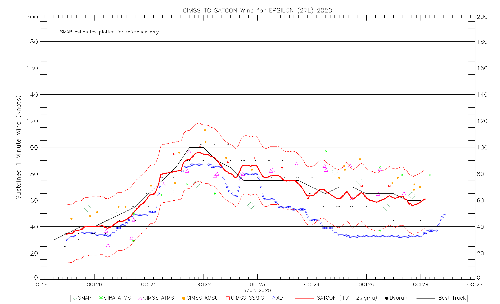
Also they are included on the graph here (blue diamonds):
http://tropic.ssec.wisc.edu/real-time/s ... _ssmis.gif
https://www.ssd.noaa.gov/PS/TROP/DATA/2 ... L-list.txt
Also they are included on the graph here (blue diamonds):
http://tropic.ssec.wisc.edu/real-time/s ... _ssmis.gif
kevin wrote:Also, does anyone know why there are no ADT estimates for Epsilon (at least on http://tropic.ssec.wisc.edu/real-time/adt/adt.html)?
2 likes
-
cycloneye

- Admin

- Posts: 149219
- Age: 69
- Joined: Thu Oct 10, 2002 10:54 am
- Location: San Juan, Puerto Rico
Re: ATL: EPSILON - Hurricane
0 likes
Visit the Caribbean-Central America Weather Thread where you can find at first post web cams,radars
and observations from Caribbean basin members Click Here
and observations from Caribbean basin members Click Here

Re: ATL: EPSILON - Hurricane
What an extremely healthy-looking storm for this far north. I think it could be currently stronger than 75 kt. Recon is expected to leave around 17z this afternoon, right?
2 likes
Irene '11 Sandy '12 Hermine '16 5/15/2018 Derecho Fay '20 Isaias '20 Elsa '21 Henri '21 Ida '21
I am only a meteorology enthusiast who knows a decent amount about tropical cyclones. Look to the professional mets, the NHC, or your local weather office for the best information.
I am only a meteorology enthusiast who knows a decent amount about tropical cyclones. Look to the professional mets, the NHC, or your local weather office for the best information.
-
supercane4867
- Category 5
- Posts: 4966
- Joined: Wed Nov 14, 2012 10:43 am

Re: ATL: EPSILON - Hurricane
aspen wrote:What an extremely healthy-looking storm for this far north. I think it could be currently stronger than 75 kt. Recon is expected to leave around 17z this afternoon, right?
Eh, Hurricane Nicole made cat 4 a few years ago at a similar latitude and time of year. Although I do think Epsilon is a cat 2 right now.
0 likes
Igor 2010, Sandy 2012, Fay 2014, Gonzalo 2014, Joaquin 2015, Nicole 2016, Humberto 2019, Imelda 2025
I am only a tropical weather enthusiast. My predictions are not official and may or may not be backed by sound meteorological data. For official information, please refer to the NHC and NWS products.
I am only a tropical weather enthusiast. My predictions are not official and may or may not be backed by sound meteorological data. For official information, please refer to the NHC and NWS products.
Re: ATL: EPSILON - Hurricane
Kazmit wrote:aspen wrote:What an extremely healthy-looking storm for this far north. I think it could be currently stronger than 75 kt. Recon is expected to leave around 17z this afternoon, right?
Eh, Hurricane Nicole made cat 4 a few years ago at a similar latitude and time of year. Although I do think Epsilon is a cat 2 right now.
Epsilon is at a disadvantage compared to Nicole because the latter was the first hurricane to pass through that region in 2016, meaning there were plenty of untapped waters for it to become a major. For Epsilon, it has to work with lower SSTs that still haven’t entirely recovered from Paulette and Teddy, so looking this good (perhaps making a run for a major due to how compact and well-defined the core is) is extra impressive.
0 likes
Irene '11 Sandy '12 Hermine '16 5/15/2018 Derecho Fay '20 Isaias '20 Elsa '21 Henri '21 Ida '21
I am only a meteorology enthusiast who knows a decent amount about tropical cyclones. Look to the professional mets, the NHC, or your local weather office for the best information.
I am only a meteorology enthusiast who knows a decent amount about tropical cyclones. Look to the professional mets, the NHC, or your local weather office for the best information.
-
ElectricStorm

- Category 5
- Posts: 5127
- Age: 25
- Joined: Tue Aug 13, 2019 11:23 pm
- Location: Norman, OK
Re: ATL: EPSILON - Hurricane
I do think Epsilon is a Cat 2 for now... But a dry slot has made it to the core in IR
0 likes
B.S Meteorology, University of Oklahoma '25
Please refer to the NHC, NWS, or SPC for official information.
Please refer to the NHC, NWS, or SPC for official information.
-
cycloneye
- Admin
- Posts: 149219
- Age: 69
- Joined: Thu Oct 10, 2002 10:54 am
- Location: San Juan, Puerto Rico
Re: ATL: EPSILON - Hurricane
Up to 80 kts.
27L EPSILON 201021 1200 28.9N 58.7W ATL 80 974
0 likes
Visit the Caribbean-Central America Weather Thread where you can find at first post web cams,radars
and observations from Caribbean basin members Click Here
and observations from Caribbean basin members Click Here
-
Iceresistance

- Category 5
- Posts: 9574
- Age: 22
- Joined: Sat Oct 10, 2020 9:45 am
- Location: Tecumseh, OK/Norman, OK
Re: ATL: EPSILON - Hurricane
I've never seen a hurricane like that!
0 likes
Bill 2015 & Beta 2020
Winter 2020-2021
All observations are in Tecumseh, OK unless otherwise noted.
Winter posts are focused mainly for Oklahoma & Texas.
Take any of my forecasts with a grain of salt, refer to the NWS, SPC, and NHC for official information
Never say Never with weather! Because ANYTHING is possible!
Winter 2020-2021
All observations are in Tecumseh, OK unless otherwise noted.
Winter posts are focused mainly for Oklahoma & Texas.
Take any of my forecasts with a grain of salt, refer to the NWS, SPC, and NHC for official information
Never say Never with weather! Because ANYTHING is possible!
-
tolakram
- Admin
- Posts: 20176
- Age: 62
- Joined: Sun Aug 27, 2006 8:23 pm
- Location: Florence, KY (name is Mark)
Re: ATL: EPSILON - Hurricane
5 likes
M a r k
- - - - -
Join us in chat: Storm2K Chatroom Invite. Android and IOS apps also available.
The posts in this forum are NOT official forecasts and should not be used as such. Posts are NOT endorsed by any professional institution or STORM2K.org. For official information and forecasts, please refer to NHC and NWS products.
Who is online
Users browsing this forum: No registered users and 35 guests