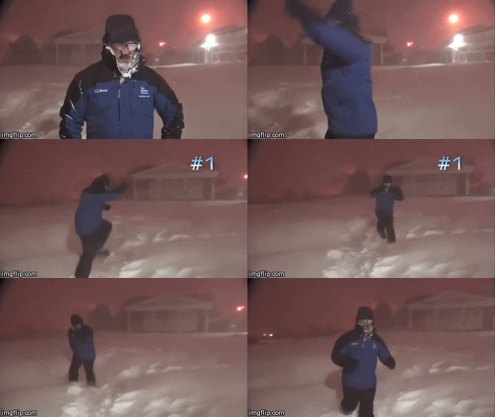


EXTREMELY dangerous conditions will be possible during this time
period both due to precipitation and dangerously cold
temperatures. A truly arctic airmass will move into the region as
yet another shortwave approaches the region from the west. Early
morning temperatures on Sunday will likely be in the teens in the
northwest, 20-25 degrees along the I-35 corridor, and upper 20s in
the southeast. Increasing large scale forcing for ascent will
likely induce the development of light drizzle the first half of
Sunday, then as the cold airmass deepens, a transition to snow
appears likely by the late afternoon/evening hours Sunday.
Increasing forcing for ascent, along with a sufficiently deep
cold air will lead to all precipitation to fall as snow as we move
into Sunday evening and Monday morning. Heavy snowfall appears
likely during this time period, with widespread snow amounts of
2"-5" across Central and 3-7" inches across North Texas. In
addition to the snow, winds in excess of 25-30 mph could lead to
borderline blizzard conditions during the early Monday morning
hours. Travel during this time period is highly discouraged as any
snow that falls will stick to any surface given the cold
temperatures. Wind chills during the day on Monday are forecast to
drop below -10F along and west of I-35 Monday morning, with -10
to zero degree wind chills east of I-35. The snowfall will be
ending from west to east late Monday morning into early Monday
afternoon but this does not mean that travel conditions will
improve. With breezy conditions remaining the rest of the day, the
threat of blowing snow will likely keep roads snow-packed through
the night.
With snowpack in place Monday night, overnight lows have been
decreased compared to previous forecast into the single digits for
much of the region. A few locations in far northwestern North
Texas were decreased to or slightly below 0 degrees. Of note,
those are forecast actual temperatures, not wind chill values.
These low temperatures will likely lead to several bursting pipes,
both exposed and underground. The proper precautions should be
taken now in preparation for these dangerously cold temperatures.
Tuesday Onward...
With a continued snowpack and mostly cloudy skies, temperatures
are not expected to warm above freezing anywhere across North and
Central Texas Tuesday afternoon. This will make it especially
difficult to see any improvement to area roadways after Monday`s
snowfall.
Yet another shortwave looms in the horizon as we move into the
day on Wednesday with temperatures flirting with the freezing
mark. Although there`s still some uncertainty regarding location
and timing, we`ll have to continue to monitor the potential for
accumulating snowfall once again on Wednesday. Additional impacts
are expected the latter half of the week, but more on that in the
coming days.
 The posts in this forum are NOT official forecast and should not be used as such. They are just the opinion of the poster and may or may not be backed by sound meteorological data. They are NOT endorsed by any professional institution or


