Tropical Weather Outlook
NWS National Hurricane Center Miami FL
500 PM PDT Mon May 24 2021
For the eastern North Pacific...east of 140 degrees west longitude:
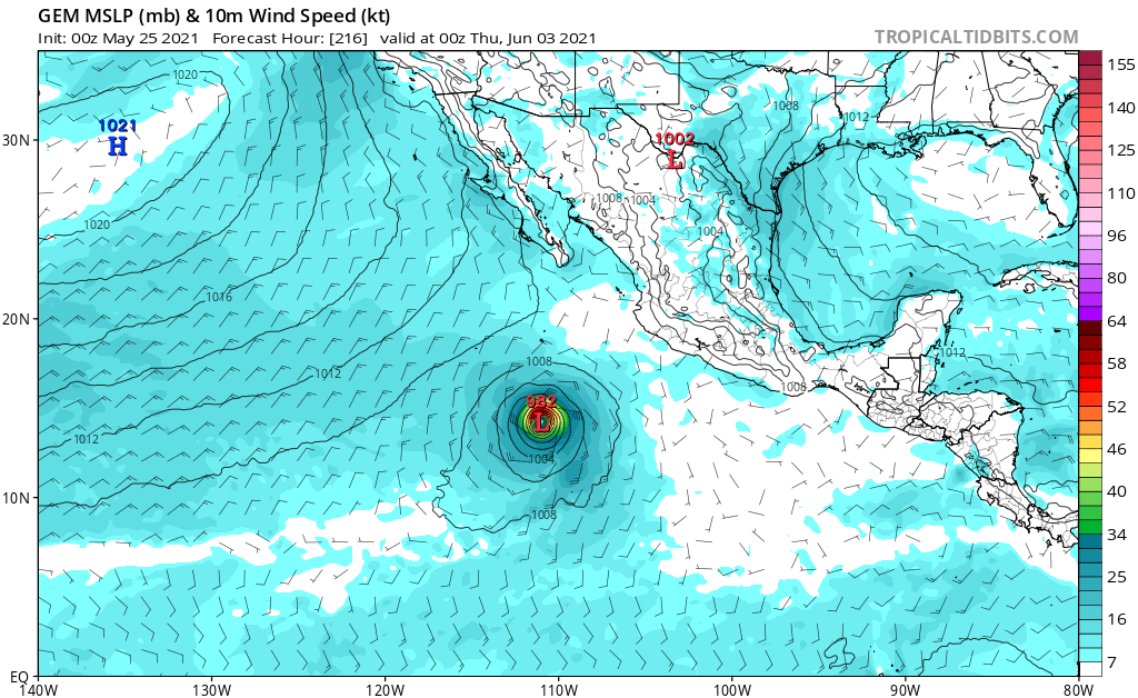
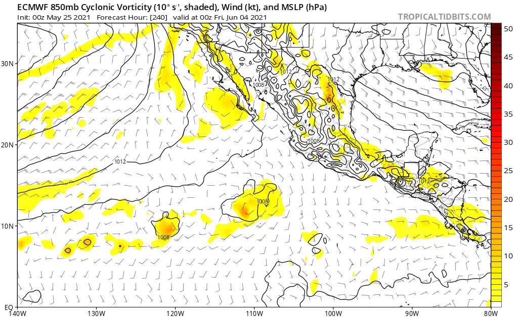
An area of low pressure is expected to form several hundred miles
south of the southern coast of Mexico later this week. Environmental
conditions appear favorable for some gradual development of this
system thereafter as it moves westward to west-northwestward at 5
to 10 mph.
* Formation chance through 48 hours...low...near 0 percent.
* Formation chance through 5 days...low...30 percent.
$$
Forecaster Reinhart/Brennan
NWS National Hurricane Center Miami FL
500 PM PDT Mon May 24 2021
For the eastern North Pacific...east of 140 degrees west longitude:
An area of low pressure is expected to form several hundred miles
south of the southern coast of Mexico later this week. Environmental
conditions appear favorable for some gradual development of this
system thereafter as it moves westward to west-northwestward at 5
to 10 mph.
* Formation chance through 48 hours...low...near 0 percent.
* Formation chance through 5 days...low...30 percent.
$$
Forecaster Reinhart/Brennan