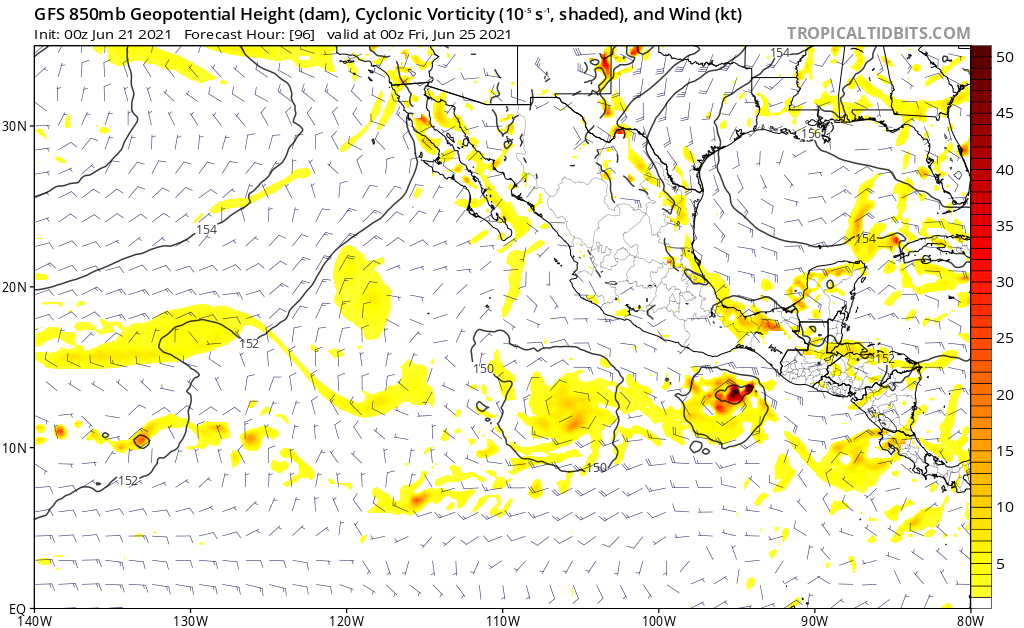
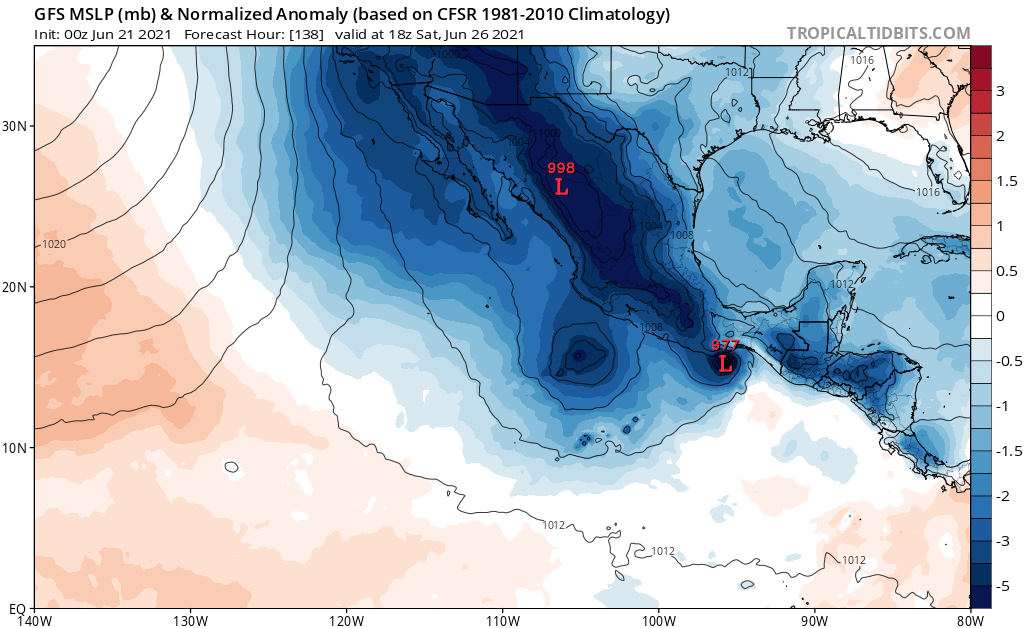
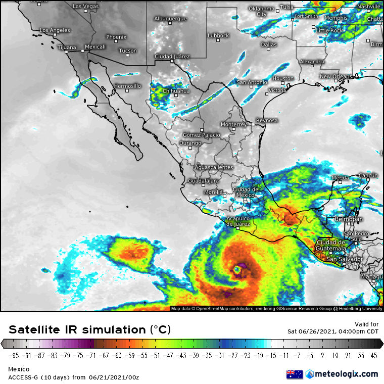
An area of low pressure is expected to form south of Guatemala and
the Gulf of Tehuantepec by late Wednesday or Thursday. Some
development will be possible thereafter while the system moves
west-northwestward parallel to and just offshore the southern coast
of Mexico.
* Formation chance through 48 hours...low...near 0 percent.
* Formation chance through 5 days...low...20 percent.