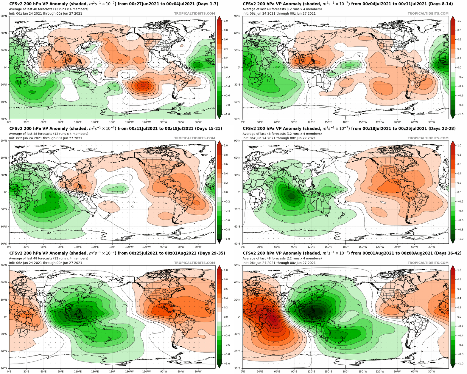
Teban54 wrote:I remember there were extensive discussions last year regarding CFS long-range forecasts. The consensus was that CFS as a climate model is designed to forecast large-scale patterns, not individual storms. People
can look at the storm tracks predicted on CFS, but keep in mind they probably have low skill.
Edit: Here's the start of the chatters on CFS last year:
viewtopic.php?f=31&t=120763&start=1900Latest CFS shows little to nothing from here to the third week of August, followed by moderate activity for most of September and essentially shutting down in the MDR once we hit October, though there are quite a few systems in the subtropics in October that are hard to tell on that model if they're tropical or not.
Not trying to put the blame on Hammy - there's nothing wrong with simply posting model outputs - but just to show one should take them with a grain of salt.
Last year's CFS did correctly predict waves coming off too far north during peak season.
However, it showed little to no Gulf activity, and we all know how that turned out.
Something I learned from last year is it seems to have difficulty resolving storms in the Gulf given the resolution--particularly the western Gulf. Smaller storms will just sort of blend into the generally lower pressure in the area. I've seen it show major-ish looking hurricanes go into the gulf and then just turn into large, diffuse areas that didn't really go anywhere. It did, however, show a very active Caribbean in October and November which unfortunately played out.
It did correctly show two instances of double Gulf storms months out--one of those was Laura and Marco, and the other turned out to be Beta's incipient low while Sally was active.
Category5Kaiju wrote:Hammy wrote:CFS (after seemingly having a limit on how far out it would go) is back up and running, the model shows the Atlantic remaining largely quiet for the first half of August and then picking up after that. Looks like a burst of MDR activity in the last week of August into early September, a short lull, and then more continuous activity with the MDR remaining in play through mid-October.
Most MDR storms seem to recurve, including 4-5 long trackers, but a few make it to the Bahamas. Gulf/Caribbean maps are not loading beyond about 400h but there were a few storms that crossed over Florida and appeared to strengthen after so that could be a hot spot.
I thought there was a ridge predicted to be over Eastern Canada, making recurves less likely (if I recall Eric Webb was the one who showed that first)? Also how exactly is the CFS able to forecast storm tracks that far out (I did not know CFS even had that ability until now to be honest)

I believe the ridging over eastern Canada was the anomalies--that said the recent CFS runs did show quite a few storms making it to the Bahamas and Florida which means there will still be ridging from time to time where there isn't normally. Part of the reason for more recurves is that the MDR itself appears to be more active than last year, and stronger storms farther east are generally more likely to curve out to sea.
Map is here, it takes some getting used to know how to read it as it's low resolution, and if you take it at face value then everything's at tropical storm intensity.
https://www.weatheronline.co.uk/cgi-bin/expertcharts?LANG=en&MENU=0000000000&CONT=noat&MODELL=cfs&MODELLTYP=1&BASE=-&VAR=pslv&HH=12&ZOOM=0&WMO=&ARCHIV=0&LOOP=1&RES=0This is unfortunately the only source that actually has the 12h pressure maps--everywhere else just shows the weekly or monthly totals/averages. It is also subject to change from day to day so anyone who wants to use it to get an idea, it's best to watch it for about a week or so and essentially average it.
The above post is not official and should not be used as such. It is the opinion of the poster and may or may not be backed by sound meteorological data. It is not endorsed by any professional institution or storm2k.org. For official information, please refer to the NHC and NWS products.


