Kingarabian wrote:SFLcane wrote:Kingarabian wrote:It'll come out on the 5th
So he has this data already?
Yes it's possible. The big time subscribers are always given first priority.
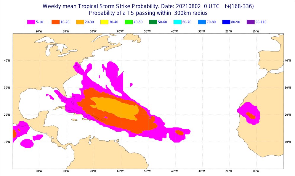
It's actually public data he's using from here https://apps.ecmwf.int/webapps/opencharts/products/mofc_multi_tcyc_family_frequency?base_time=202108020000¶meter=Accumulated%20cyclone%20energy&valid_time=202108080000.
These are all units of ACE over climo normal, so for example if it says 1.2 ACE forecast mean it means 120% ACE above climo normal for that week.
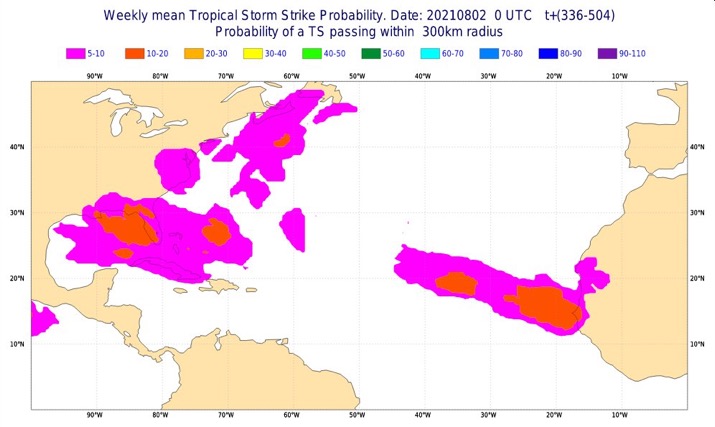
First week of August the Atlantic is projected to have 1.1 ACE (110%)
Second week of August the Atlantic is projected to have 1.6 ACE (160%)
Third week of August the Atlantic is projected to have 1.4 ACE (140%)
Fourth week of August the Atlantic is projected to have 0.9 ACE (90%)
Average for the next 4 weeks is 1.25 units (125% ACE) above climo normal.
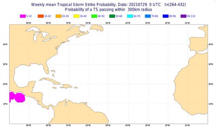
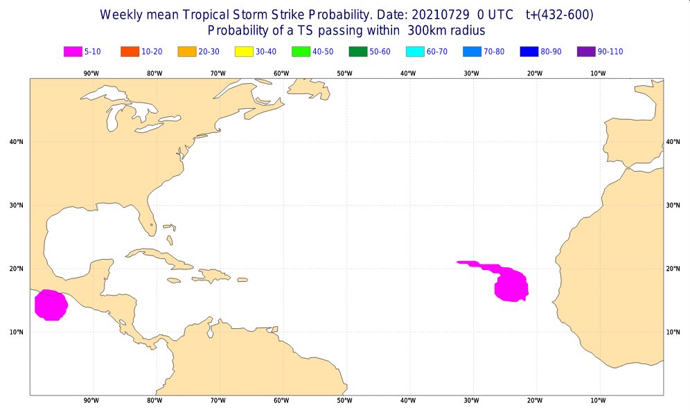
The forecast from 3 days ago, 07/29 (https://apps.ecmwf.int/webapps/opencharts/products/mofc_multi_tcyc_family_frequency?base_time=202107290000¶meter=Accumulated%20cyclone%20energy&valid_time=202108080000)
First week of August the Atlantic is projected to have 0.3 ACE (30%)
Second week of August the Atlantic is projected to have 0.4 ACE (40%)
Third week of August the Atlantic is projected to have 0.7 ACE (70%)
Fourth week of August the Atlantic is projected to have 0.8 ACE (80%)
Average for the next 4 weeks is 0.55 units (55%) above climo normal.