


Aric Dunn wrote:I would focus more on this system. the other two may also develop but this is in a better environemnt.
adding to that...
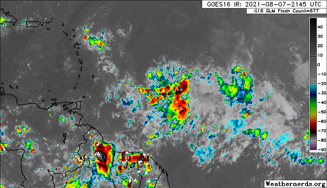
the trend today and this afternoon have been a rapid organization in the low levels with visible showing a distinct vort max which has now started producing deep convection over it and in some proto bands around it.
HIgher moisture and lower shear than 92L and 93L
This should be 94L very soon.
If soon-to-be-94L develops quicker than anticipated, wouldn’t that mean it gets a little further north? It could miss some of the islands if that happens.


