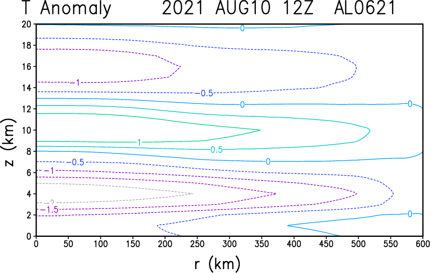
AlphaToOmega wrote:There is clearly a closed low where PTC 06L is located.
https://i.postimg.cc/63DtGcfq/USA-12Z.gif
No
Moderator: S2k Moderators


AlphaToOmega wrote:There is clearly a closed low where PTC 06L is located.
https://i.postimg.cc/63DtGcfq/USA-12Z.gif
AlphaToOmega wrote:aspen wrote:So close…some of those new convective bursts should help close this off for good. Not sure if dry air is an issue because the structure of the storm on satellite looks good.
Dry air is not an issue for this system. There is very little Sharan dust in the Atlantic.

aspen wrote:So close…some of those new convective bursts should help close this off for good. Not sure if dry air is an issue because the structure of the storm on satellite looks good.
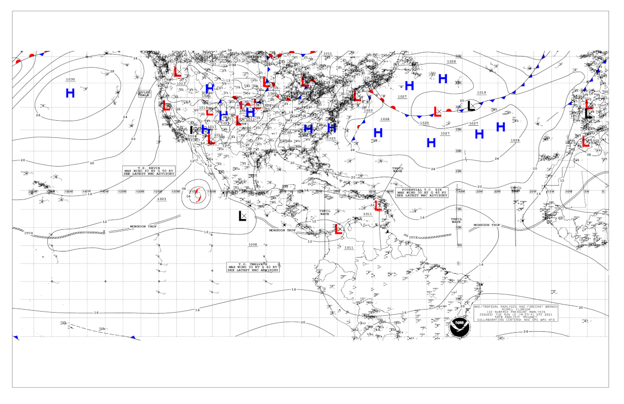
BobHarlem wrote:https://twitter.com/watkinstrack/status/1425111323961085952

AlphaToOmega wrote:There is clearly a closed low where PTC 06L is located.
https://i.postimg.cc/63DtGcfq/USA-12Z.gif


AlphaToOmega wrote:aspen wrote:So close…some of those new convective bursts should help close this off for good. Not sure if dry air is an issue because the structure of the storm on satellite looks good.
Dry air is not an issue for this system. There is very little Sharan dust in the Atlantic.


SouthDadeFish wrote:The vortex isn't closed yet looking at the airborne radar data (I don't think I have permission to share this). There is also some tilting of the vortex, as the mid-level vortex is displaced to the southwest of the low-level center. The low-level vortex is also quite weak.
Aric Dunn wrote:SouthDadeFish wrote:The vortex isn't closed yet looking at the airborne radar data (I don't think I have permission to share this). There is also some tilting of the vortex, as the mid-level vortex is displaced to the southwest of the low-level center. The low-level vortex is also quite weak.
That is all understandable.. but what is more logical.. flying around the decaying bottom end of the trough axis .... or the growing low to mid level circ with deep convection ?
it is much more likely that a vort max develops under the convection with the MLC then something that far south...


AlphaToOmega wrote:aspen wrote:So close…some of those new convective bursts should help close this off for good. Not sure if dry air is an issue because the structure of the storm on satellite looks good.
Dry air is not an issue for this system. There is very little Sharan dust in the Atlantic.


Users browsing this forum: No registered users and 158 guests


