
Fasten your seatbelts, peak of the hurricane season looks to be a bumpy one.
https://twitter.com/webberweather/status/1429120573225926660
2021 Indicators: SST's / SAL / MSLP / Shear / Steering / Instability / Sat Images
Moderator: S2k Moderators
Forum rules

The posts in this forum are NOT official forecasts and should not be used as such. They are just the opinion of the poster and may or may not be backed by sound meteorological data. They are NOT endorsed by any professional institution or STORM2K. For official information, please refer to products from the National Hurricane Center and National Weather Service.
-
Stormybajan

- Category 1

- Posts: 453
- Joined: Thu May 20, 2021 3:21 pm
- Location: Windward Islands
Re: 2021 Indicators: SST's / SAL / MSLP / Shear / Steering / Instability / Sat Images
NDG wrote:Fasten your seatbelts, peak of the hurricane season looks to be a bumpy one.
https://twitter.com/webberweather/status/1429120573225926660
Question though, why wouldnt this pattern favour the EPAC? With sinking air over Africa and rising air mainly situated over the eastern pacific?
0 likes
Sad West Indies and Manchester United fan ⚽️
-
cycloneye

- Admin

- Posts: 149508
- Age: 69
- Joined: Thu Oct 10, 2002 10:54 am
- Location: San Juan, Puerto Rico
Re: 2021 Indicators: SST's / SAL / MSLP / Shear / Steering / Instability / Sat Images
Now, this is  Prepare for the ride. Adrian open your eyes. Heck of Kelvin Wave.
https://twitter.com/webberweather/status/1429120573225926660
https://twitter.com/webberweather/status/1429122335320141825
https://twitter.com/dmorris9661/status/1429124562839609345
https://twitter.com/webberweather/status/1429120573225926660
https://twitter.com/webberweather/status/1429122335320141825
https://twitter.com/dmorris9661/status/1429124562839609345
1 likes
Visit the Caribbean-Central America Weather Thread where you can find at first post web cams,radars
and observations from Caribbean basin members Click Here
and observations from Caribbean basin members Click Here
-
AlphaToOmega
- Category 5

- Posts: 1448
- Joined: Sat Jun 26, 2021 10:51 am
- Location: Somewhere in Massachusetts
Re: 2021 Indicators: SST's / SAL / MSLP / Shear / Steering / Instability / Sat Images
Eric Webb wrote:on both the GFS & EPS just in time to run it through the Indian Ocean + Maritime Continent in early-mid Sep during the climo peak of the Atlantic hurricane season
Peak season is going to be crazy
0 likes
-
AnnularCane

- S2K Supporter

- Posts: 2962
- Joined: Thu Jun 08, 2006 9:18 am
- Location: Wytheville, VA
Re: 2021 Indicators: SST's / SAL / MSLP / Shear / Steering / Instability / Sat Images
NDG wrote:Fasten your seatbelts, peak of the hurricane season looks to be a bumpy one.
https://twitter.com/webberweather/status/1429120573225926660
Greenage!
1 likes
"But it never rained rain. It never snowed snow. And it never blew just wind. It rained things like soup and juice. It snowed mashed potatoes and green peas. And sometimes the wind blew in storms of hamburgers." -- Judi Barrett, Cloudy with a Chance of Meatballs
-
Category5Kaiju

- Category 5
- Posts: 4335
- Joined: Thu Dec 24, 2020 12:45 pm
- Location: Seattle during the summer, Phoenix during the winter
Re: 2021 Indicators: SST's / SAL / MSLP / Shear / Steering / Instability / Sat Images
cycloneye wrote:ACE for 2021 is at 30.0 and is above average for the August 21rst date. The average for this date is 17.3 units. Enough said,season is running ahead of normal.
From my understanding we are even ahead of 2020’s pace in terms of ACE as of now
1 likes
Unless explicitly stated, all information in my posts is based on my own opinions and observations. Tropical storms and hurricanes can be extremely dangerous. Refer to an accredited weather research agency or meteorologist if you need to make serious decisions regarding an approaching storm.
-
AutoPenalti
- Category 5
- Posts: 4091
- Age: 29
- Joined: Mon Aug 17, 2015 4:16 pm
- Location: Ft. Lauderdale, Florida
Re: 2021 Indicators: SST's / SAL / MSLP / Shear / Steering / Instability / Sat Images
That signal seems to target the EPAC and W Carr, MDR looks unfavorable.
2 likes
The posts in this forum are NOT official forecasts and should not be used as such. They are just the opinion of the poster and may or may not be backed by sound meteorological data. They are NOT endorsed by any professional institution or STORM2K. For official information, please refer to products from the NHC and NWS.
Model Runs Cheat Sheet:
GFS (5:30 AM/PM, 11:30 AM/PM)
HWRF, GFDL, UKMET, NAVGEM (6:30-8:00 AM/PM, 12:30-2:00 AM/PM)
ECMWF (1:45 AM/PM)
TCVN is a weighted averaged

Re: 2021 Indicators: SST's / SAL / MSLP / Shear / Steering / Instability / Sat Images
AutoPenalti wrote:That signal seems to target the EPAC and W Carr, MDR looks unfavorable.
The time frame Eric has selected would favor the eastern Pacific more yeah. However, the general idea of an uptick in activity after a brief hiatus following Henri remains because you can bet money that convective pulse will travel eastward with time and eventually favor an uptick in Atlantic activity once the eastern Pacific takes a nap, assuming the shear relaxes. Timeframe for more tropical activity looking to be first or second week of September, models FINALLY starting to pick up on this too. I'd be concerned if they weren't at this point.
1 likes

Re: 2021 Indicators: SST's / SAL / MSLP / Shear / Steering / Instability / Sat Images
NDG wrote:Fasten your seatbelts, peak of the hurricane season looks to be a bumpy one.
https://twitter.com/webberweather/status/1429120573225926660
Oh ****. I wonder if the MJO comes out of the circle back in 8 or 1?
0 likes
Re: 2021 Indicators: SST's / SAL / MSLP / Shear / Steering / Instability / Sat Images
Landy wrote:Steve wrote:Landy wrote:I hope Grace finally puts an end to the season cancel posts. This August has shown more than enough to disprove such thoughts and we still have a bit over a week left to go for the month.
Maybe it's just me, but it seems those posts are significantly down this year from pretty much every other year I've been on the site (+/- 2002).
Yeah I wouldn't doubt you're wrong. I've only seen the posts from last year and this year so I have limited knowledge regarding that, though I may have some idea on how far it can get based on others references back to 2017. Perhaps I should read back.
Personally I felt the month-long break of tropical cyclogenesis brought about a little surge of them similar to but less than last year's quantity > quality posts. Regardless just like then they'll probably phase out over time as we reach the first and second climatological peaks respectively.

Haha yeah, it was intolerable at times with several posters reaching for anything to fit their preseason agendas. This included both wish and down casters.
1 likes
-
toad strangler

- S2K Supporter
- Posts: 4546
- Joined: Sun Jul 28, 2013 3:09 pm
- Location: Earth
- Contact:
Re: 2021 Indicators: SST's / SAL / MSLP / Shear / Steering / Instability / Sat Images
AutoPenalti wrote:That signal seems to target the EPAC and W Carr, MDR looks unfavorable.
Looks to be the entrance of a favorable CCKW on steroids that moves through
1 likes
My Weather Station
https://www.wunderground.com/dashboard/pws/KFLPORTS603
https://www.wunderground.com/dashboard/pws/KFLPORTS603

Re: 2021 Indicators: SST's / SAL / MSLP / Shear / Steering / Instability / Sat Images
AutoPenalti wrote:That signal seems to target the EPAC and W Carr, MDR looks unfavorable.
The eastern MDR does, but that Kelvin Wave will propagate westward as September goes on, and waves will find favorable conditions in the western half of the MDR.
1 likes
Irene '11 Sandy '12 Hermine '16 5/15/2018 Derecho Fay '20 Isaias '20 Elsa '21 Henri '21 Ida '21
I am only a meteorology enthusiast who knows a decent amount about tropical cyclones. Look to the professional mets, the NHC, or your local weather office for the best information.
I am only a meteorology enthusiast who knows a decent amount about tropical cyclones. Look to the professional mets, the NHC, or your local weather office for the best information.
Re: 2021 Indicators: SST's / SAL / MSLP / Shear / Steering / Instability / Sat Images
Stormybajan wrote:NDG wrote:Fasten your seatbelts, peak of the hurricane season looks to be a bumpy one.
https://twitter.com/webberweather/status/1429120573225926660
Question though, why wouldnt this pattern favour the EPAC? With sinking air over Africa and rising air mainly situated over the eastern pacific?
The Kelvin Wave is passing through is not staying put, also climatoligy and a developing La Nina along with -PDO does not favor much of the activity to be in the EPAC.
1 likes
Re: 2021 Indicators: SST's / SAL / MSLP / Shear / Steering / Instability / Sat Images
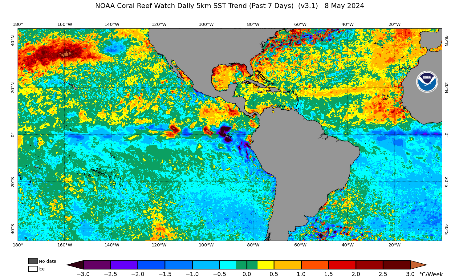

Ummmmmm.....okay then, this is happening
SST's in the eastern MDR
2 likes
Re: 2021 Indicators: SST's / SAL / MSLP / Shear / Steering / Instability / Sat Images
Steve wrote:NDG wrote:Fasten your seatbelts, peak of the hurricane season looks to be a bumpy one.
https://twitter.com/webberweather/status/1429120573225926660
Oh ****. I wonder if the MJO comes out of the circle back in 8 or 1?
Even if it doesn't come of the circle the Kelvin Wave would be in control, I can see it coming out at least on phase 1 & 2 which still favors the Atlantic basin for activity during the peak of the seaon.
0 likes
Re: 2021 Indicators: SST's / SAL / MSLP / Shear / Steering / Instability / Sat Images
NDG wrote:Steve wrote:NDG wrote:Fasten your seatbelts, peak of the hurricane season looks to be a bumpy one.
https://twitter.com/webberweather/status/1429120573225926660
Oh ****. I wonder if the MJO comes out of the circle back in 8 or 1?
Even if it doesn't come of the circle the Kelvin Wave would be in control, I can see it coming out at least on phase 1 & 2 which still favors the Atlantic basin for activity during the peak of the seaon.
Phases 1, 2 and 3 would be extra proverbial fuel for the fire.
1 likes
-
toad strangler
- S2K Supporter
- Posts: 4546
- Joined: Sun Jul 28, 2013 3:09 pm
- Location: Earth
- Contact:
Re: 2021 Indicators: SST's / SAL / MSLP / Shear / Steering / Instability / Sat Images
aspen wrote:AutoPenalti wrote:That signal seems to target the EPAC and W Carr, MDR looks unfavorable.
The eastern MDR does, but that Kelvin Wave will propagate westward as September goes on, and waves will find favorable conditions in the western half of the MDR.
Eastward
0 likes
My Weather Station
https://www.wunderground.com/dashboard/pws/KFLPORTS603
https://www.wunderground.com/dashboard/pws/KFLPORTS603
Who is online
Users browsing this forum: No registered users and 415 guests