http://rammb-data.cira.colostate.edu/tc_realtime/storm.asp?storm_identifier=al972021
ATL: JULIAN - Post-Tropical
Moderator: S2k Moderators
- Nancy Smar
- Category 5
- Posts: 1081
- Age: 24
- Joined: Wed Aug 16, 2017 10:03 pm
ATL: JULIAN - Post-Tropical
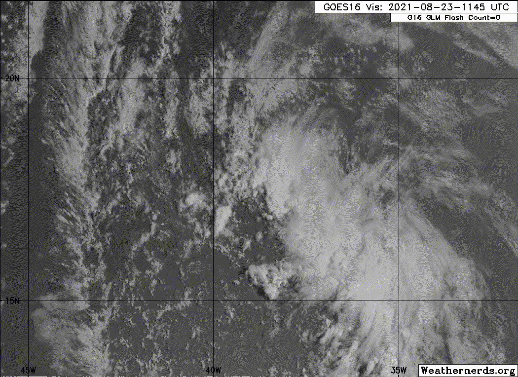
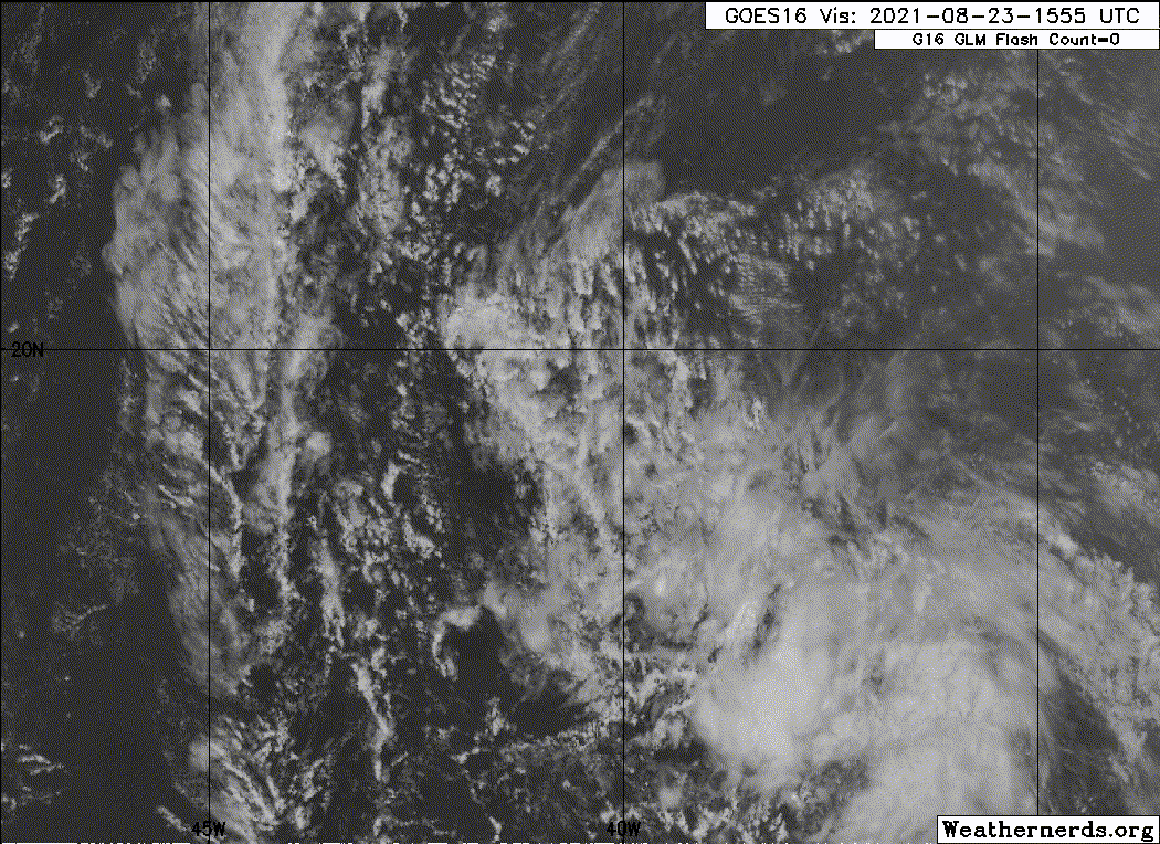
2021-08-23 12:00 16.9 -38.0 25
http://rammb-data.cira.colostate.edu/tc_realtime/storm.asp?storm_identifier=al972021
0 likes
-
- Category 5
- Posts: 1448
- Joined: Sat Jun 26, 2021 10:51 am
- Location: Somewhere in Massachusetts
Re: ATL: INVEST 97L - Discussion (It is the tropical low West of the Cape Verde islands)
The CMC supports development of this system. SSTs seem conducive enough for development in the subtropics.
0 likes
- Iceresistance
- Category 5
- Posts: 9279
- Age: 21
- Joined: Sat Oct 10, 2020 9:45 am
- Location: Tecumseh, OK/Norman, OK
Re: ATL: INVEST 97L - Discussion (System that is west of Cape Verde)
Please don't confuse it with the Caribbean Tropical Wave that could develop later this week in the Western Caribbean
1 likes
Bill 2015 & Beta 2020
Winter 2020-2021
All observations are in Tecumseh, OK unless otherwise noted.
Winter posts are focused mainly for Oklahoma & Texas.
Take any of my forecasts with a grain of salt, refer to the NWS, SPC, and NHC for official information
Never say Never with weather! Because ANYTHING is possible!
Winter 2020-2021

All observations are in Tecumseh, OK unless otherwise noted.
Winter posts are focused mainly for Oklahoma & Texas.
Take any of my forecasts with a grain of salt, refer to the NWS, SPC, and NHC for official information
Never say Never with weather! Because ANYTHING is possible!
Re: ATL: INVEST 97L - Discussion (It is the tropical low West of the Cape Verde islands)
AlphaToOmega wrote:The CMC supports development of this system. SSTs seem conducive enough for development in the subtropics.
Should development occur with this system...any thoughts on a potential track?...I'm not familiar with the steering patterns in that area...thanks
0 likes
Re: ATL: INVEST 97L - Discussion
This could get quite close to Bermuda. SSTs are quite high in this part of the subtropics, so it’s possible this becomes another high-latitude hurricane.
0 likes
Irene '11 Sandy '12 Hermine '16 5/15/2018 Derecho Fay '20 Isaias '20 Elsa '21 Henri '21 Ida '21
I am only a meteorology enthusiast who knows a decent amount about tropical cyclones. Look to the professional mets, the NHC, or your local weather office for the best information.
-
- Category 5
- Posts: 8903
- Age: 39
- Joined: Thu Jul 06, 2017 1:51 am
-
- Category 5
- Posts: 1448
- Joined: Sat Jun 26, 2021 10:51 am
- Location: Somewhere in Massachusetts
Re: ATL: INVEST 97L - Discussion (It is the tropical low West of the Cape Verde islands)
underthwx wrote:AlphaToOmega wrote:The CMC supports development of this system. SSTs seem conducive enough for development in the subtropics.
Should development occur with this system...any thoughts on a potential track?...I'm not familiar with the steering patterns in that area...thanks
It would most likely recurve out to sea. Hurricane Henri has created a weakness in the subtropical ridge, so storms will likely have an easier time curving out to sea.
3 likes
- cycloneye
- Admin
- Posts: 143862
- Age: 68
- Joined: Thu Oct 10, 2002 10:54 am
- Location: San Juan, Puerto Rico
Re: ATL: INVEST 97L - Discussion (System that is west of Cape Verde)
Iceresistance wrote:Please don't confuse it with the Caribbean Tropical Wave that could develop later this week in the Western Caribbean
There is no confusión. Here is the ATCF data.
AL, 97, 2021082312, , BEST, 0, 169N, 380W, 25, 1009, LO, 34, NEQ, 0, 0, 0, 0, 1012, 150, 80, 0, 0, L, 0, , 0, 0, INVEST, M, 0, , 0, 0, 0, 0, genesis-num, 023, SPAWNINVEST, al752021 to al972021,
0 likes
Visit the Caribbean-Central America Weather Thread where you can find at first post web cams,radars
and observations from Caribbean basin members Click Here
- cheezyWXguy
- Category 5
- Posts: 6091
- Joined: Mon Feb 13, 2006 12:29 am
- Location: Dallas, TX
Re: ATL: INVEST 97L - Discussion
12z icon gets this to 964mb by hour 138. Was not expecting that
0 likes
- ElectricStorm
- Category 5
- Posts: 5017
- Age: 24
- Joined: Tue Aug 13, 2019 11:23 pm
- Location: Skiatook, OK / Norman, OK
Re: ATL: INVEST 97L - Discussion
At first I didn't think this would do much but I'm rethinking that now. Has good model support, and SST's look good once it gets out of the SAL. Looks like it could be a race to Ida between this and the Caribbean/Gulf system. As long as it stays away from Bermuda, I'll be rooting for this one.
0 likes
I am in no way a professional. Take what I say with a grain of salt as I could be totally wrong. Please refer to the NHC, NWS, or SPC for official information.
Boomer Sooner!
Boomer Sooner!
Re: ATL: INVEST 97L - Discussion
Weather Dude wrote:At first I didn't think this would do much but I'm rethinking that now. Has good model support, and SST's look good once it gets out of the SAL. Looks like it could be a race to Ida between this and the Caribbean/Gulf system. As long as it stays away from Bermuda, I'll be rooting for this one.
Unfortunately I have a gut feeling that the Caribbean system will develop early, take the name Ida and bomb out, because it's the I name. Hope I'm wrong though.
The posts in this forum are NOT official forecasts and should not be used as such. They are just the opinion of the poster and may or may not be backed by sound meteorological data. They are NOT endorsed by any professional institution or STORM2K. For official information, please refer to products from the NHC and NWS.
0 likes
Re: ATL: INVEST 97L - Discussion
Teban54 wrote:Weather Dude wrote:At first I didn't think this would do much but I'm rethinking that now. Has good model support, and SST's look good once it gets out of the SAL. Looks like it could be a race to Ida between this and the Caribbean/Gulf system. As long as it stays away from Bermuda, I'll be rooting for this one.
Unfortunately I have a gut feeling that the Caribbean system will develop early, take the name Ida and bomb out, because it's the I name. Hope I'm wrong though.The posts in this forum are NOT official forecasts and should not be used as such. They are just the opinion of the poster and may or may not be backed by sound meteorological data. They are NOT endorsed by any professional institution or STORM2K. For official information, please refer to products from the NHC and NWS.
Just a bit of fun trivia, the Caribbean system (if it develops) will take on a "cursed" name regardless of whether it develops first or second. If it develops first, it would take on the dreaded 'I' name, which is why gut feeling may lead one to think that the Caribbean threat will steal Ida. But the 'J' name on this particular list is cursed as well, with two consecutive retirements in a row (Juan and Joaquin).
Regardless of the name, this invest looks to be a good ACE maker if it takes advantage of better conditions down the road.
3 likes
-
- S2K Supporter
- Posts: 1728
- Joined: Wed Feb 26, 2003 10:53 am
- Location: Nags Head, NC
- Contact:
Re: ATL: INVEST 97L - Discussion
It will break the 20/60 rule.
Destined to be a fish (there are rare exceptions).
0 likes
- Kazmit
- Category 5
- Posts: 2124
- Age: 22
- Joined: Mon Jul 25, 2016 8:49 am
- Location: Williamsburg, VA / Bermuda
Re: ATL: INVEST 97L - Discussion
So this is what I’ve been seeing in the swell forecast. Hopefully it brings some good waves and doesn’t come to close to Bermuda.
0 likes
Igor 2010, Sandy 2012, Fay 2014, Gonzalo 2014, Joaquin 2015, Nicole 2016, Humberto 2019
I am only a tropical weather enthusiast. My predictions are not official and may or may not be backed by sound meteorological data. For official information, please refer to the NHC and NWS products.
Re: ATL: INVEST 97L - Discussion (System that is west of Cape Verde)
Iceresistance wrote:Please don't confuse it with the Caribbean Tropical Wave that could develop later this week in the Western Caribbean
I'm now missing the old Storm2K map, because it used to show the location of each invest.
7 likes
Re: ATL: INVEST 97L - Discussion
OuterBanker wrote:It will break the 20/60 rule.
Destined to be a fish (there are rare exceptions).
I think the latest runs of the Euro and GFS both show it skirting awfully close to the Azores.
0 likes
- AnnularCane
- S2K Supporter
- Posts: 2836
- Joined: Thu Jun 08, 2006 9:18 am
- Location: Wytheville, VA
Re: ATL: INVEST 97L - Discussion (System that is west of Cape Verde)
abajan wrote:Iceresistance wrote:Please don't confuse it with the Caribbean Tropical Wave that could develop later this week in the Western Caribbean
I'm now missing the old Storm2K map, because it used to show the location of each invest.
I'm just now thinking that same thing! Which invest is which?

1 likes
"But it never rained rain. It never snowed snow. And it never blew just wind. It rained things like soup and juice. It snowed mashed potatoes and green peas. And sometimes the wind blew in storms of hamburgers." -- Judi Barrett, Cloudy with a Chance of Meatballs
-
- Category 5
- Posts: 8903
- Age: 39
- Joined: Thu Jul 06, 2017 1:51 am
Re: ATL: INVEST 97L - Discussion - WNW of Cabo Verde Islands
I spy a defined LLC. Needs more convection.
0 likes
- ScottNAtlanta
- Category 5
- Posts: 2360
- Joined: Sat May 25, 2013 3:11 pm
- Location: Atlanta, GA
Re: ATL: INVEST 97L - Discussion - WNW of Cabo Verde Islands
It is getting eaten alive by SAL and dry air all around it
0 likes
The posts in this forum are NOT official forecast and should not be used as such. They are just the opinion of the poster and may or may not be backed by sound meteorological data. They are NOT endorsed by any professional institution or storm2k.org. For official information, please refer to the NHC and NWS products.
Who is online
Users browsing this forum: No registered users and 11 guests