Stormgodess wrote:cycloneye wrote:Breaking News
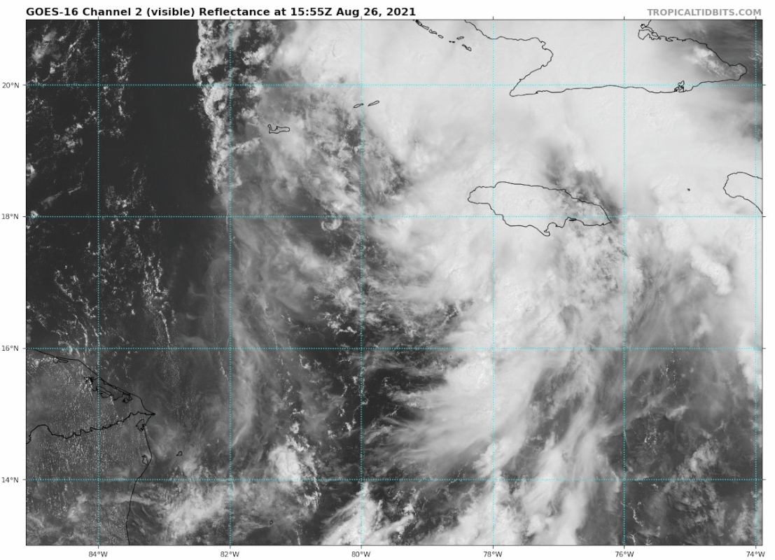
18z Best Track up to TS IDA.
AL, 09, 2021082618, BEST, 0, 177N, 794W, 35, 1004, TS
You might as well be speaking madarinIm so sorry, What does that mean?
It means it's going to be TS Ida at the next advisory