ATL: JULIAN - Post-Tropical
Moderator: S2k Moderators
-
ElectricStorm

- Category 5

- Posts: 5148
- Age: 25
- Joined: Tue Aug 13, 2019 11:23 pm
- Location: Norman, OK
Re: ATL: INVEST 97L - Discussion
Up to 80/80 now. Will likely be TD11 soon
0 likes
B.S Meteorology, University of Oklahoma '25
Please refer to the NHC, NWS, or SPC for official information.
Please refer to the NHC, NWS, or SPC for official information.

Re: ATL: INVEST 97L - Discussion
97L spent the whole week looking worse than 98L until the latter became a TD, lol. Maybe 97L will get the name Julian after all.
0 likes
TC naming lists: retirements and intensity
Most aggressive Advisory #1's in North Atlantic (cr. kevin for starting the list)
Most aggressive Advisory #1's in North Atlantic (cr. kevin for starting the list)
-
EquusStorm
- Category 5
- Posts: 1649
- Age: 35
- Joined: Thu Nov 07, 2013 1:04 pm
- Location: Jasper, AL
- Contact:
Re: ATL: INVEST 97L - Discussion
Took its time to get going but looks like it's finally going. Just got to really consolidate a low level center and maintain the decent convective organization it's had for a while now. Maybe it'll get named Julian as it races east; we all know Julian likes that sort of thing...

7 likes
Colors of lost purpose on the canvas of irrelevance
Not a meteorologist, in fact more of an idiot than anything. You should probably check with the NHC or a local NWS office for official information.
Not a meteorologist, in fact more of an idiot than anything. You should probably check with the NHC or a local NWS office for official information.
-
Sciencerocks
- Category 5
- Posts: 10186
- Age: 40
- Joined: Thu Jul 06, 2017 1:51 am
-
cycloneye

- Admin

- Posts: 149550
- Age: 69
- Joined: Thu Oct 10, 2002 10:54 am
- Location: San Juan, Puerto Rico
Re: ATL: INVEST 97L - Discussion
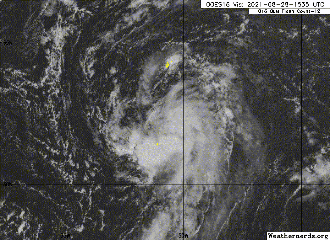
Showers and thunderstorms continue to show signs of organization in
association with an area of low pressure located over the central
Atlantic. Although environmental conditions remain only marginally
conducive for further development, only a slight increase in
organization would result in the formation of a tropical depression
later tonight or on Sunday. In a couple of days, the system is
forecast to be absorbed by a frontal system. The disturbance is
expected to drift eastward through tonight, then accelerate
northeastward Sunday toward the central north Atlantic.
* Formation chance through 48 hours...high...80 percent.
* Formation chance through 5 days...high...80 percent.
0 likes
Visit the Caribbean-Central America Weather Thread where you can find at first post web cams,radars
and observations from Caribbean basin members Click Here
and observations from Caribbean basin members Click Here
-
ouragans

- Category 2

- Posts: 501
- Age: 54
- Joined: Sun Jun 12, 2011 12:09 pm
- Location: Abymes, Guadeloupe F.W.I
- Contact:
Re: ATL: INVEST 97L - Discussion
Invest 97L
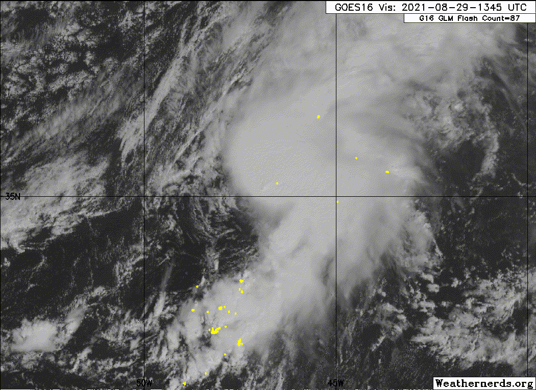
As of 00:00 UTC Aug 29, 2021:
Location: 32.7°N 50.1°W
Maximum Winds: 30 kt Gusts: N/A
Minimum Central Pressure: 1010 mb
Environmental Pressure: N/A
Radius of Circulation: N/A
Radius of Maximum wind: 50 nm
As of 00:00 UTC Aug 29, 2021:
Location: 32.7°N 50.1°W
Maximum Winds: 30 kt Gusts: N/A
Minimum Central Pressure: 1010 mb
Environmental Pressure: N/A
Radius of Circulation: N/A
Radius of Maximum wind: 50 nm
0 likes
Personal forecast disclaimer
This post is a personal point of view, not an information. Please refer to official statements for life-threatening decisions.
David '79, Frederic '79, Hugo '89, Iris, Luis & Marilyn '95, Georges '98, Lenny '99, Dean '07, Irma '17, Maria '17, Fiona '22, Philippe '23, Tammy '23
16°13'33.3,"6N -61°36'39.5"W
-
CyclonicFury

- Category 5
- Posts: 2035
- Age: 27
- Joined: Sun Jul 02, 2017 12:32 pm
- Location: NC
- Contact:
Re: ATL: INVEST 97L - Discussion
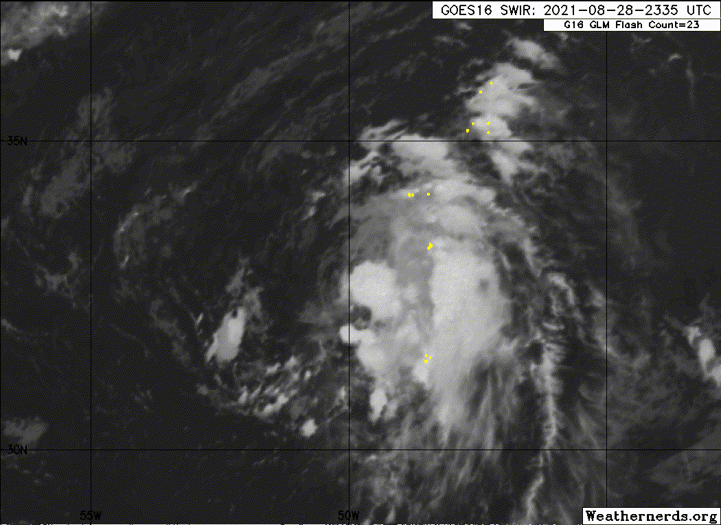
The CSU-RAMMB site is now calling this Tropical Depression 11L. We'll have to see if NHC confirms tonight.
https://rammb-data.cira.colostate.edu/t ... r=al112021
https://rammb-data.cira.colostate.edu/t ... r=al112021
2 likes
NCSU B.S. in Meteorology Class of 2021. Tropical weather blogger at http://www.cyclonicfury.com. My forecasts and thoughts are NOT official, for official forecasts please consult the National Hurricane Center.
-
galaxy401

- Category 5
- Posts: 2446
- Age: 30
- Joined: Sat Aug 25, 2012 9:04 pm
- Location: Casa Grande, Arizona
Re: ATL: ELEVEN - Discussion
Yep, confirmed TD11.
BULLETIN
Tropical Depression Eleven Advisory Number 1
NWS National Hurricane Center Miami FL AL112021
1100 PM AST Sat Aug 28 2021
...NEW TROPICAL DEPRESSION FORMS OVER THE SUBTROPICAL CENTRAL
ATLANTIC...
...EXPECTED TO BECOME A SHORT-LIVED TROPICAL STORM...
SUMMARY OF 1100 PM AST...0300 UTC...INFORMATION
-----------------------------------------------
LOCATION...33.0N 49.7W
ABOUT 1320 MI...2120 KM W OF THE AZORES
MAXIMUM SUSTAINED WINDS...35 MPH...55 KM/H
PRESENT MOVEMENT...NE OR 50 DEGREES AT 12 MPH...19 KM/H
MINIMUM CENTRAL PRESSURE...1010 MB...29.83 INCHES
1 likes
Got my eyes on moving right into Hurricane Alley: Florida.
-
toad strangler

- S2K Supporter

- Posts: 4546
- Joined: Sun Jul 28, 2013 3:09 pm
- Location: Earth
- Contact:
Re: ATL: ELEVEN - Tropical Depression - Discussion
This thread should be riveting.
5 likes
My Weather Station
https://www.wunderground.com/dashboard/pws/KFLPORTS603
https://www.wunderground.com/dashboard/pws/KFLPORTS603
-
Sciencerocks
- Category 5
- Posts: 10186
- Age: 40
- Joined: Thu Jul 06, 2017 1:51 am
Re: ATL: ELEVEN - Tropical Depression - Discussion
So what's the naming protocol if both TD10 and TD11 become tropical storms at the same time? Which one gets Julian and which one Kate?
0 likes
TC naming lists: retirements and intensity
Most aggressive Advisory #1's in North Atlantic (cr. kevin for starting the list)
Most aggressive Advisory #1's in North Atlantic (cr. kevin for starting the list)

Re: ATL: ELEVEN - Tropical Depression - Discussion
Teban54 wrote:So what's the naming protocol if both TD10 and TD11 become tropical storms at the same time? Which one gets Julian and which one Kate?
Presumably the best track decisions would be made at different times, even if minutes apart. If I remember right, both Olga and Peter were named on the same advisory in 2019 but Olga was named about a half hour prior on the BT (leading to Peter's advisory coming out first as there was less to write)
0 likes
The above post is not official and should not be used as such. It is the opinion of the poster and may or may not be backed by sound meteorological data. It is not endorsed by any professional institution or storm2k.org. For official information, please refer to the NHC and NWS products.
-
Sciencerocks
- Category 5
- Posts: 10186
- Age: 40
- Joined: Thu Jul 06, 2017 1:51 am
Re: ATL: ELEVEN - Tropical Depression - Discussion
1 likes
The above post is not official and should not be used as such. It is the opinion of the poster and may or may not be backed by sound meteorological data. It is not endorsed by any professional institution or storm2k.org. For official information, please refer to the NHC and NWS products.
Re: ATL: JULIAN - Tropical Storm - Discussion
AL, 11, 2021082912, , BEST, 0, 345N, 478W, 35, 1004, TS, 34, NEQ, 50, 60, 0, 0, 1010, 120, 50, 0, 0, L, 0, , 0, 0, ELEVEN, M, 0, , 0, 0, 0, 0, genesis-num, 023,
5 likes
-
Stormybajan

- Category 1

- Posts: 453
- Joined: Thu May 20, 2021 3:21 pm
- Location: Windward Islands
Re: ATL: JULIAN - Tropical Storm - Discussion
Subtrop wrote:AL, 11, 2021082912, , BEST, 0, 345N, 478W, 35, 1004, TS, 34, NEQ, 50, 60, 0, 0, 1010, 120, 50, 0, 0, L, 0, , 0, 0, ELEVEN, M, 0, , 0, 0, 0, 0, genesis-num, 023,
Hello Julian?
1 likes
Sad West Indies and Manchester United fan ⚽️

Re: ATL: JULIAN - Tropical Storm - Discussion
King Julian has arrived.
45 kt/998mb from the NHC, forecast to peak at 55 kt tomorrow before post-tropical transition.
45 kt/998mb from the NHC, forecast to peak at 55 kt tomorrow before post-tropical transition.
0 likes
Irene '11 Sandy '12 Hermine '16 5/15/2018 Derecho Fay '20 Isaias '20 Elsa '21 Henri '21 Ida '21
I am only a meteorology enthusiast who knows a decent amount about tropical cyclones. Look to the professional mets, the NHC, or your local weather office for the best information.
I am only a meteorology enthusiast who knows a decent amount about tropical cyclones. Look to the professional mets, the NHC, or your local weather office for the best information.
-
Sciencerocks
- Category 5
- Posts: 10186
- Age: 40
- Joined: Thu Jul 06, 2017 1:51 am

Re: ATL: JULIAN - Tropical Storm - Discussion
By the look of it, Julian is at or near hurricane strength.
0 likes
-
ElectricStorm
- Category 5
- Posts: 5148
- Age: 25
- Joined: Tue Aug 13, 2019 11:23 pm
- Location: Norman, OK
Re: ATL: JULIAN - Tropical Storm - Discussion
I'm thinking this one could make a run for Cat 1 status. It may not get there, but it could get close.
0 likes
B.S Meteorology, University of Oklahoma '25
Please refer to the NHC, NWS, or SPC for official information.
Please refer to the NHC, NWS, or SPC for official information.
Who is online
Users browsing this forum: No registered users and 16 guests