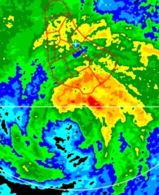
Zonacane wrote:ThetaE wrote:Sciencerocks wrote:https://imagizer.imageshack.com/img924/3981/se4sJF.gif
Cirrus outflow suggests that shear has weakened a lot, and it's shown in the improvements Larry's made today. I suspect when the NOAA plane arrives that Larry will have a deeper pressure than 956 mb but 100-105 kt winds. I think it's pretty hard to judge how typical rules of thumb hold up to a large annular storm like Larry, especially since these storms are so rare in the Atlantic.
Then again, the NHC is scarily good at intensity estimates of storms in the open ocean when recon is eventually deployed (I remember being surprised by how close they were with Teddy last year).
The NHC is the best tropical cyclone forecasting agency in the world
...Yes. I was praising their track record of pinpointing intensity on limited data.


