The NHC is having some fun with Rose right now . . .

Tropical Storm Rose Advisory Number 6
NWS National Hurricane Center Miami FL AL172021
1100 AM AST Mon Sep 20 2021
...ROSE MIGHT NOT BLOOM INTO A MUCH STRONGER STORM ...
SUMMARY OF 1100 AM AST...1500 UTC...INFORMATION
-----------------------------------------------
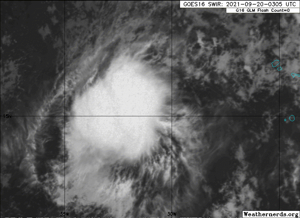
LOCATION...17.3N 33.4W
ABOUT 620 MI...1000 KM WNW OF THE SOUTHERNMOST CABO VERDE ISLANDS
MAXIMUM SUSTAINED WINDS...40 MPH...65 KM/H
PRESENT MOVEMENT...NW OR 320 DEGREES AT 16 MPH...26 KM/H
MINIMUM CENTRAL PRESSURE...1007 MB...29.74 INCHES
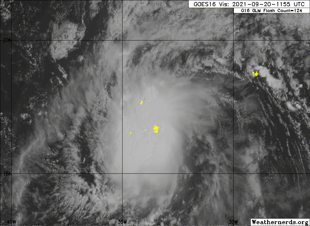
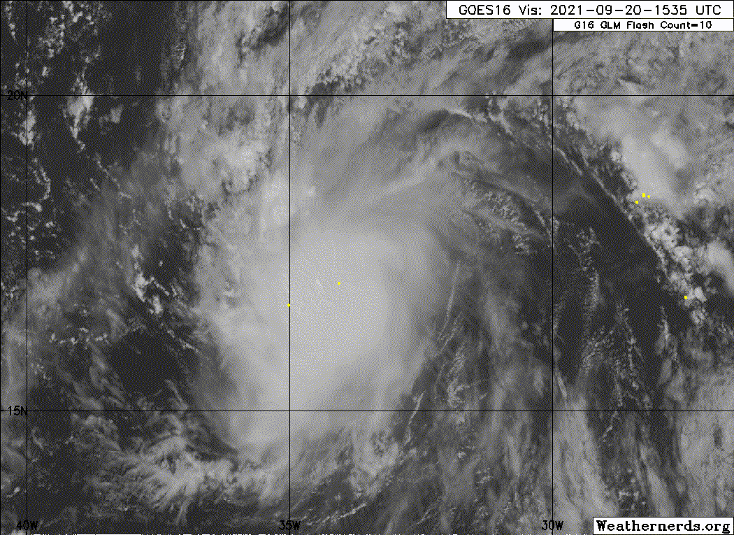
There are a lot of thorns in the way of Rose blossoming into a
stronger storm. Increasing shear and drier mid-level air are on
the way for tonight, competing against the somewhat warm SSTs.
Thus Rose has about a day to flower into a moderate tropical storm,
and no significant change was made to the short term forecast. At
longer range, stronger shear and dry air should pull the petals off
Rose one-by-one, causing the cyclone to slowly weaken. The new
forecast is similar to the previous one, with some small 5-kt
downward adjustments. Rose could even shrivel up into a remnant
low by day 5, but that's not shown yet in the forecast.
Bill 2015 & Beta 2020
Winter 2020-2021 
All observations are in Tecumseh, OK unless otherwise noted.
Winter posts are focused mainly for Oklahoma & Texas.
Take any of my forecasts with a grain of salt, refer to the NWS, SPC, and NHC for official information
Never say
Never with weather! Because
ANYTHING is possible!