AL, 90, 2021092712, , BEST, 0, 72N, 144W, 20, 1010, DB
https://ftp.nhc.noaa.gov/atcf/btk/
Moderator: S2k Moderators


AutoPenalti wrote:So which is Invest 90L?
The MDR wave or the other MDR wave?


Extratropical94 wrote:AutoPenalti wrote:So which is Invest 90L?
The MDR wave or the other MDR wave?AL, 90, 2021092712, , BEST, 0, 72N, 144W, 20, 1010, DB, 34, NEQ, 0, 0, 0, 0, 1012, 200, 50, 0, 0, L, 0, , 0, 0, INVEST, S, 0, , 0, 0, 0, 0, genesis-num, 040, SPAWNINVEST, al742021 to al902021,
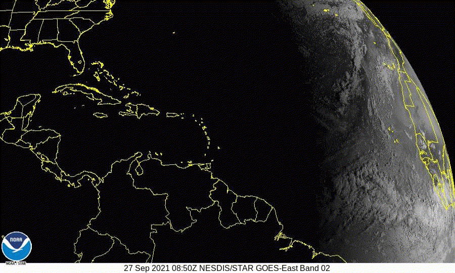
This is the eastern wave near the African coast
Edit: Snippet from the track map for clarification:
https://i.imgur.com/PaAjSWG.png
cheezyWXguy wrote:Extratropical94 wrote:AutoPenalti wrote:So which is Invest 90L?
The MDR wave or the other MDR wave?AL, 90, 2021092712, , BEST, 0, 72N, 144W, 20, 1010, DB, 34, NEQ, 0, 0, 0, 0, 1012, 200, 50, 0, 0, L, 0, , 0, 0, INVEST, S, 0, , 0, 0, 0, 0, genesis-num, 040, SPAWNINVEST, al742021 to al902021,
This is the eastern wave near the African coast
Edit: Snippet from the track map for clarification:
https://i.imgur.com/PaAjSWG.png
Really like this map, wish we could make this the map at the top of the forum


It's the map directly from the NHC site, so no. The one they used to have with the invest numbers, SSHWS categories etc broke a few months ago and crashed the forum.Hurrilurker wrote:Would be really helpful to mark the invest numbers on the map at the top of the page, is that possible?
bob rulz wrote:What's the furthest south a storm has ever developed in the Atlantic?

Users browsing this forum: No registered users and 22 guests

