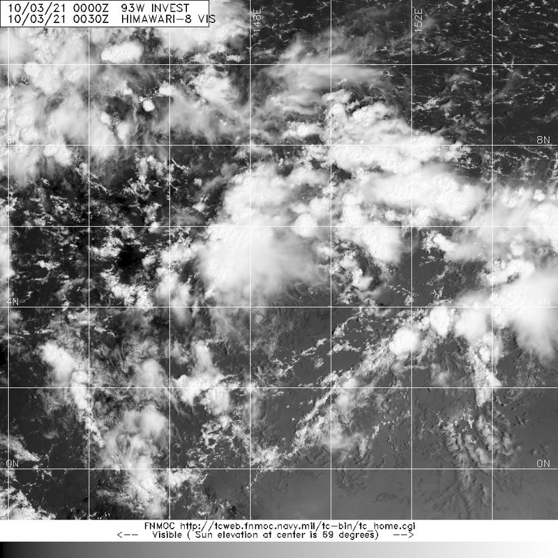
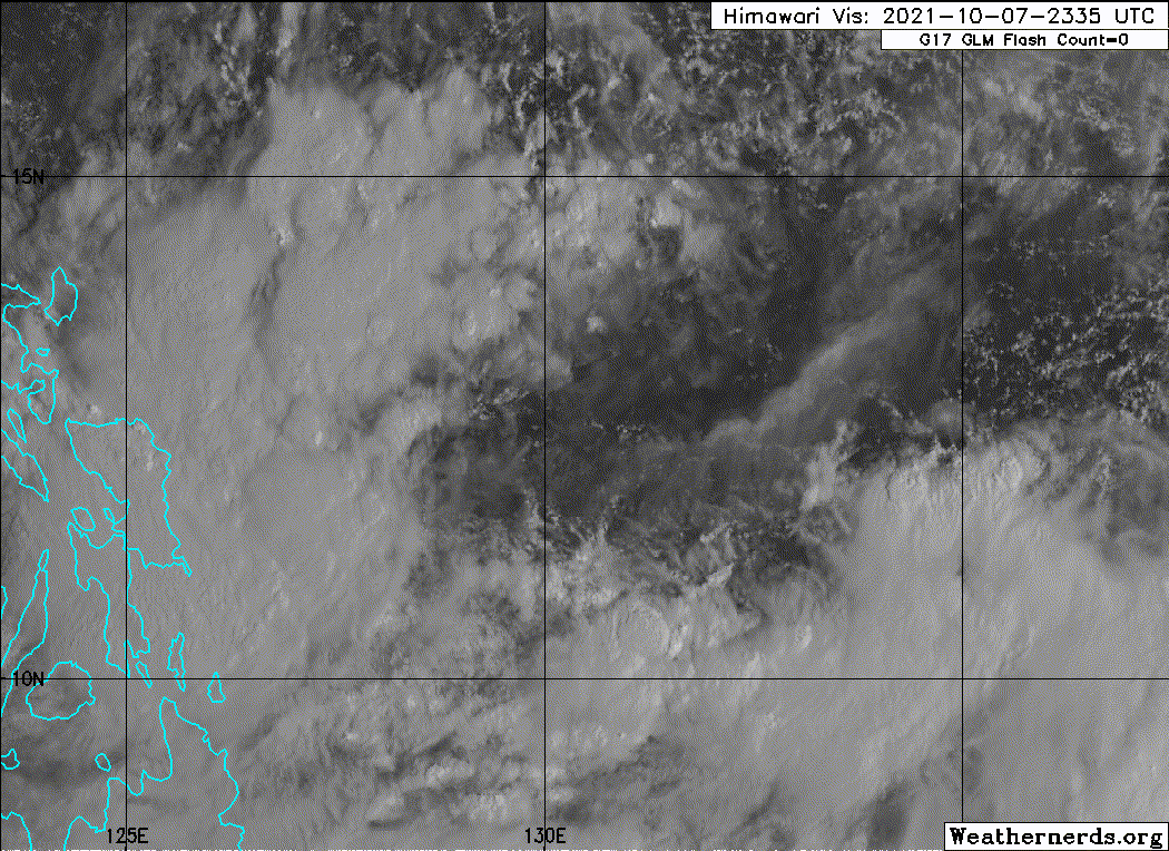
Huge...
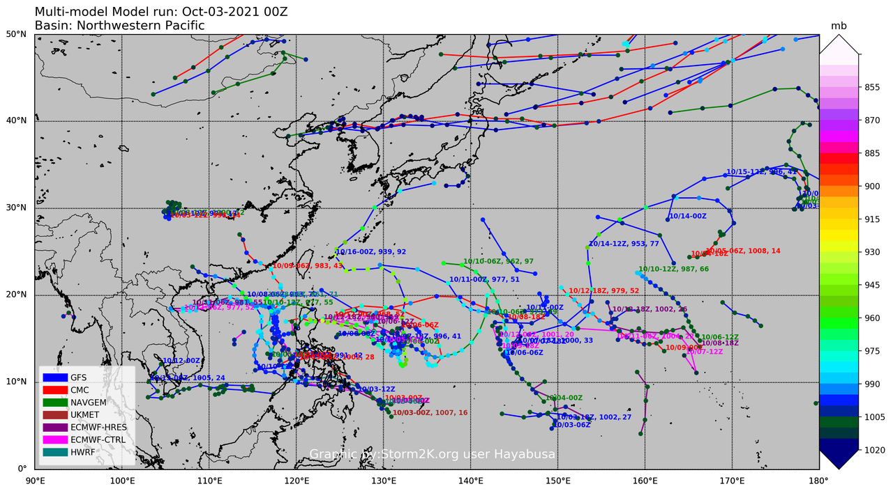
T2118 ( KOMPASU )
Issued on 2021/10/08 16:05

<Analysis at 15 JST, 2021/10/08>
Scale Very large
Intensity/Category Tropical Storm
Center Position 13.8N 131.5E
Direction and speed of movement E 15km/h (9kt)
Central pressure 998hPa
Maximum wind speed 18m/s (35kt)
Maximum wind gust speed 25m/s (50kt)
≥ 30-kt wind area ALL 950km (500NM)
<Forecast for 15 JST, 2021/10/09>
Intensity/Category Tropical Storm
Center Position 16.5N 132.0E
Direction and speed of movement N 15km/h (8kt)
Central pressure 994hPa
Maximum wind speed 20m/s (40kt)
Maximum wind gust speed 30m/s (60kt)
Radius of probability circle 120km (65NM)
<Forecast for 15 JST, 2021/10/10>
Intensity/Category Tropical Storm
Center Position 17.9N 128.5E
Direction and speed of movement WNW 15km/h (9kt)
Central pressure 990hPa
Maximum wind speed 23m/s (45kt)
Maximum wind gust speed 35m/s (65kt)
Radius of probability circle 220km (120NM)
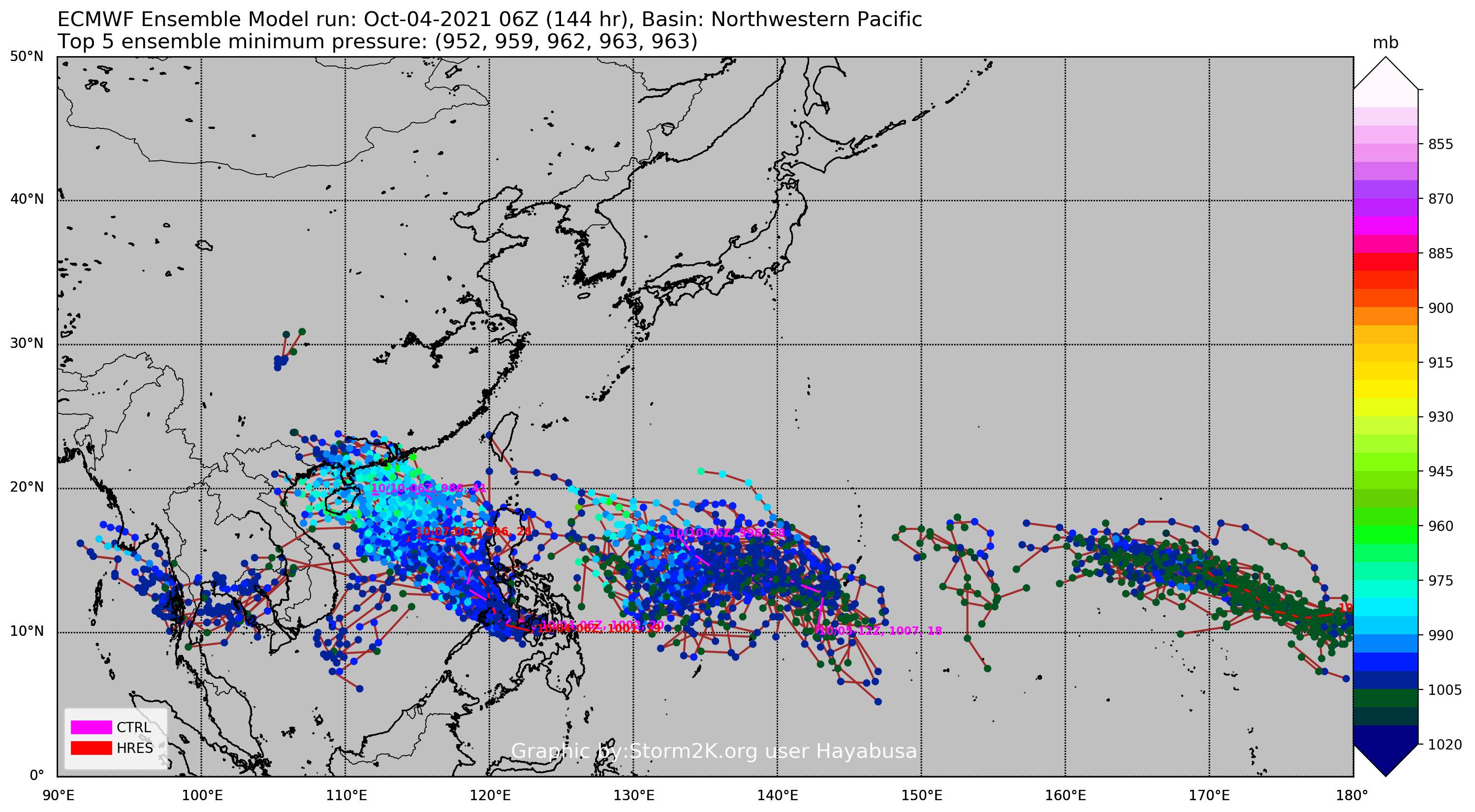
<Forecast for 15 JST, 2021/10/11>
Intensity/Category Severe Tropical Storm
Center Position 19.5N 124.1E
Direction and speed of movement WNW 20km/h (11kt)
Central pressure 985hPa
Maximum wind speed 25m/s (50kt)
Maximum wind gust speed 35m/s (70kt)
Radius of probability circle 330km (180NM)
<Forecast for 15 JST, 2021/10/12>
Intensity/Category Severe Tropical Storm
Center Position 19.2N 118.0E
Direction and speed of movement W 25km/h (14kt)
Central pressure 985hPa
Maximum wind speed 25m/s (50kt)
Maximum wind gust speed 35m/s (70kt)
Radius of probability circle 430km (230NM)
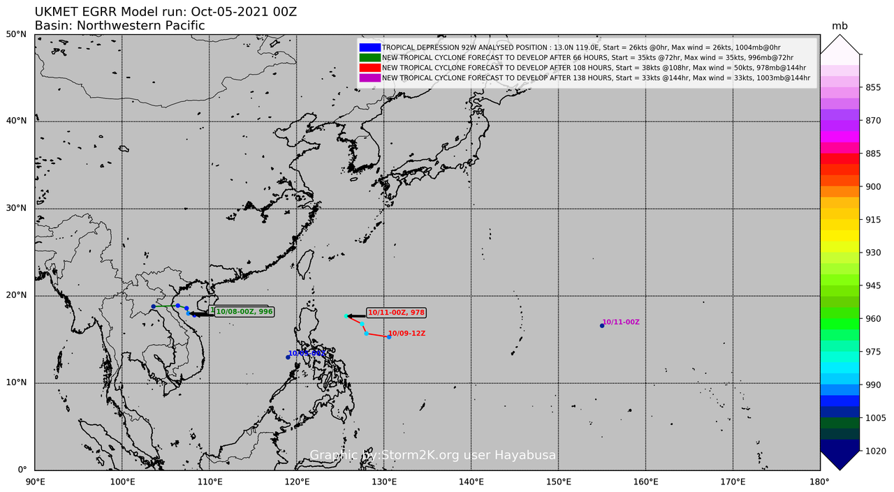
<Forecast for 15 JST, 2021/10/13>
Intensity/Category Severe Tropical Storm
Center Position 18.4N 112.9E
Direction and speed of movement W 20km/h (12kt)
Central pressure 985hPa
Maximum wind speed 25m/s (50kt)
Maximum wind gust speed 35m/s (70kt)
Radius of probability circle 590km (320NM)