Texas Spring 2022

U.S. & Caribbean Weather Discussions and Severe Weather Events

Moderator: S2k Moderators

Forum rules

The posts in this forum are NOT official forecast and should not be used as such. They are just the opinion of the poster and may or may not be backed by sound meteorological data. They are NOT endorsed by any professional institution or STORM2K.

Help Support Storm2K
Message
Author
User avatar
Iceresistance
Category 5
Category 5
Posts: 9288
Age: 21
Joined: Sat Oct 10, 2020 9:45 am
Location: Tecumseh, OK/Norman, OK

Re: Texas Spring 2022

#1101 Postby Iceresistance » Mon Apr 11, 2022 4:47 pm

HockeyTx82 wrote:Seeing some small returns west of Ponder from UNT.

Maybe something trying to get going?

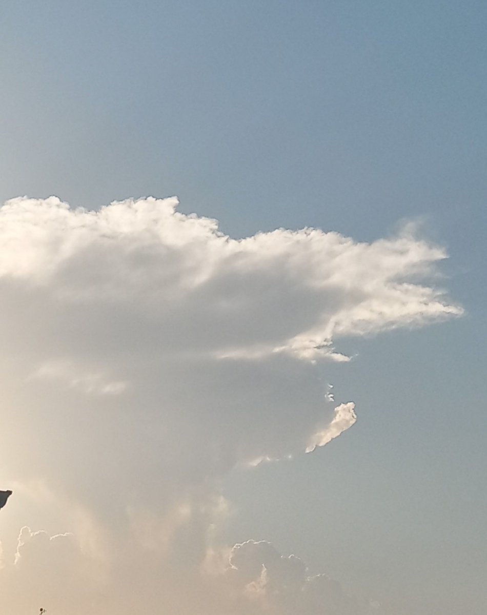
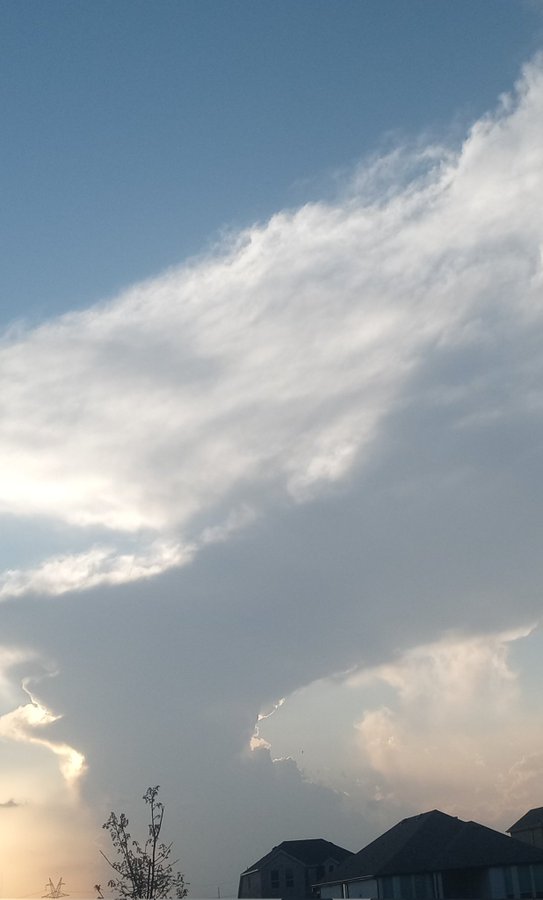
The clouds look very elevated.... who knows


Satellite is showing that something is going up near Denton
1 likes   
Bill 2015 & Beta 2020

Winter 2020-2021 :cold:

All observations are in Tecumseh, OK unless otherwise noted.

Winter posts are focused mainly for Oklahoma & Texas.

Take any of my forecasts with a grain of salt, refer to the NWS, SPC, and NHC for official information

Never say Never with weather! Because ANYTHING is possible!

User avatar
Edwards Limestone
S2K Supporter
S2K Supporter
Posts: 476
Age: 36
Joined: Tue Dec 28, 2021 11:05 am
Location: Smithson Valley, TX

Re: Texas Spring 2022

#1102 Postby Edwards Limestone » Mon Apr 11, 2022 4:54 pm

COD website is showing CIN breaking over DFW w/ 3000 J/kg CAPE air....cap is breaking up there for you guys. Should be interesting!

https://weather.cod.edu/satrad/?parms=regional-southcentral-truecolor-24-1-100-1&checked=counties-usint-map-cape&colorbar=undefined
1 likes   
The above post is NOT an official forecast and should not be used as such. It is just the opinion of the poster and may or may not be backed by sound meteorological data. It is NOT endorsed by any professional institution including Storm2k. For official information, please refer to NWS products.

User avatar
bubba hotep
S2K Supporter
S2K Supporter
Posts: 5837
Joined: Wed Dec 28, 2016 1:00 am
Location: Collin County Texas

Re: Texas Spring 2022

#1103 Postby bubba hotep » Mon Apr 11, 2022 5:00 pm

Area of agitated CU just west of DFW and there has been at least one failed attempt to fire off a storm. Looks like the thickest cloud deck is forming just SW of Ft. Worth, that will probably the area to watch.
1 likes   
Winter time post are almost exclusively focused on the DFW area.

User avatar
bubba hotep
S2K Supporter
S2K Supporter
Posts: 5837
Joined: Wed Dec 28, 2016 1:00 am
Location: Collin County Texas

Re: Texas Spring 2022

#1104 Postby bubba hotep » Mon Apr 11, 2022 5:01 pm

Image

Mesoscale Discussion 0448
NWS Storm Prediction Center Norman OK
0446 PM CDT Mon Apr 11 2022

Areas affected...portions of north-central and northeast Texas and
south-central Oklahoma

Concerning...Severe potential...Watch possible

Valid 112146Z - 112315Z

Probability of Watch Issuance...60 percent

SUMMARY...A conditional risk for severe thunderstorms is expected
along the dryline this afternoon and evening. Supercells with a
primary risk for of large hail, damaging wind gusts will be
possible. A weather watch is possible though uncertainty remains
high.

DISCUSSION...As of 2130Z, visible imagery showed deepening congestus
towers along a dryline observed across north central Texas and
south-central Oklahoma. To the east of the dryline, very warm
temperatures (80s to 90s F) and deep surface moisture (dewpoints in
the low to mid 60s F) are supporting 2000-3000 J/kg of MLCAPE. Zonal
mid-level flow associated with a low amplitude shortwave trough
crossing the region was enhancing mid-level shear with VWPS and
mesoanalysis showing 40-50 kt EBWD orthogonal to the dryline. This
in combination with deep and veering wind profiles will
conditionally support discrete sueprcellular convection. Very steep
mid-level lapse rates (~9 C/km) from observed and model soundings
will favor large hail with any sustained updrafts. Damaging winds
are also possible given the warm surface temperatures and fairly
large T/TD spreads. The tornado risk appears lower owing to weaker
surface flow and some low-level veering. Experimental WOFS guidance
has shown several discrete updrafts initiating over the last few
runs and posing a severe risk into this evening. While uncertainty
remains high, some severe risk appears possible across south-central
Oklahoma and north Texas this evening. Conditions are being
monitored for a possible weather watch.

..Lyons/Hart.. 04/11/2022

...Please see http://www.spc.noaa.gov for graphic product...

ATTN...WFO...SHV...TSA...FWD...OUN...
1 likes   
Winter time post are almost exclusively focused on the DFW area.

HockeyTx82
S2K Supporter
S2K Supporter
Posts: 2540
Joined: Tue Oct 27, 2009 11:17 am
Location: Ponder, TX

Re: Texas Spring 2022

#1105 Postby HockeyTx82 » Mon Apr 11, 2022 5:08 pm

Fox 4 WAPP has a cell firing off east side of Dallas around 7ish.
0 likes   
Don't hold me accountable for anything I post on this forum. Leave the real forecasting up to the professionals.

Location: Ponder, TX (all observation posts are this location unless otherwise noted)

rwfromkansas
Category 5
Category 5
Posts: 2627
Joined: Sat Aug 27, 2005 12:47 am
Location: North Fort Worth

Re: Texas Spring 2022

#1106 Postby rwfromkansas » Mon Apr 11, 2022 5:20 pm

I am probably too far west again unless something pops very quickly.

I do note there is some kind of boundary moving west looking on Radarscope right into the other boundary, so maybe that can help. In any event, it looks like something will pop off.
0 likes   

User avatar
bubba hotep
S2K Supporter
S2K Supporter
Posts: 5837
Joined: Wed Dec 28, 2016 1:00 am
Location: Collin County Texas

Re: Texas Spring 2022

#1107 Postby bubba hotep » Mon Apr 11, 2022 5:34 pm

Image
0 likes   
Winter time post are almost exclusively focused on the DFW area.

User avatar
Cpv17
Category 5
Category 5
Posts: 4979
Joined: Wed Dec 07, 2016 2:24 pm
Location: Wharton/El Campo, TX

Re: Texas Spring 2022

#1108 Postby Cpv17 » Mon Apr 11, 2022 5:48 pm

rwfromkansas wrote:I am probably too far west again unless something pops very quickly.

I do note there is some kind of boundary moving west looking on Radarscope right into the other boundary, so maybe that can help. In any event, it looks like something will pop off.


You’re almost always too far west. And in my situation I’m usually too far south so I definitely understand if you ever get frustrated with that lol
1 likes   

User avatar
Ntxw
Storm2k Moderator
Storm2k Moderator
Posts: 22785
Joined: Wed Oct 21, 2009 6:34 pm
Location: DFW, Texas

Re: Texas Spring 2022

#1109 Postby Ntxw » Mon Apr 11, 2022 5:52 pm

I'm not yet sold storms will fire down here. Best vorticity is lifting away in SE Oklahoma and into Arkansas, our chance at lift would have happened already. Dryline is drifting just of of 35-W.
0 likes   
The above post and any post by Ntxw is NOT an official forecast and should not be used as such. It is just the opinion of the poster and may or may not be backed by sound meteorological data. It is NOT endorsed by any professional institution including Storm2k. For official information, please refer to NWS products.

  Help support Storm2K!
Help Support Storm2K

User avatar
Iceresistance
Category 5
Category 5
Posts: 9288
Age: 21
Joined: Sat Oct 10, 2020 9:45 am
Location: Tecumseh, OK/Norman, OK

Re: Texas Spring 2022

#1110 Postby Iceresistance » Mon Apr 11, 2022 5:58 pm

Ntxw wrote:I'm not yet sold storms will fire down here. Best vorticity is lifting away in SE Oklahoma and into Arkansas, our chance at lift would have happened already. Dryline is drifting just west of 35-W.


I can see big storms to the South & Southeast that are located over Southern Oklahoma, already looks Supercellular at my POV.
0 likes   
Bill 2015 & Beta 2020

Winter 2020-2021 :cold:

All observations are in Tecumseh, OK unless otherwise noted.

Winter posts are focused mainly for Oklahoma & Texas.

Take any of my forecasts with a grain of salt, refer to the NWS, SPC, and NHC for official information

Never say Never with weather! Because ANYTHING is possible!

User avatar
bubba hotep
S2K Supporter
S2K Supporter
Posts: 5837
Joined: Wed Dec 28, 2016 1:00 am
Location: Collin County Texas

Re: Texas Spring 2022

#1111 Postby bubba hotep » Mon Apr 11, 2022 6:08 pm

Storms are firing down the dryline in Oklahoma but not looking too good for N. TX. There are two areas of agitation on the dryline just west and SW of DFW. Elsewhere along the dryline, the CU field is starting to fade.

Looking a bit closer, there is a slight bulge on the dryline where Denton and Tarrant county meet. That would be the area to watch for a storm to pop off.
0 likes   
Winter time post are almost exclusively focused on the DFW area.

HockeyTx82
S2K Supporter
S2K Supporter
Posts: 2540
Joined: Tue Oct 27, 2009 11:17 am
Location: Ponder, TX

Re: Texas Spring 2022

#1112 Postby HockeyTx82 » Mon Apr 11, 2022 6:12 pm

I can see the dryline. Looking west is clear, looking up is cloudy and due east is cloudy. It's right on top of me.
1 likes   
Don't hold me accountable for anything I post on this forum. Leave the real forecasting up to the professionals.

Location: Ponder, TX (all observation posts are this location unless otherwise noted)

rwfromkansas
Category 5
Category 5
Posts: 2627
Joined: Sat Aug 27, 2005 12:47 am
Location: North Fort Worth

Re: Texas Spring 2022

#1113 Postby rwfromkansas » Mon Apr 11, 2022 6:17 pm

Cpv17 wrote:
rwfromkansas wrote:I am probably too far west again unless something pops very quickly.

I do note there is some kind of boundary moving west looking on Radarscope right into the other boundary, so maybe that can help. In any event, it looks like something will pop off.


You’re almost always too far west. And in my situation I’m usually too far south so I definitely understand if you ever get frustrated with that lol


It's better a little later in the season when the dryline is a bit further west. Lol.
0 likes   

User avatar
bubba hotep
S2K Supporter
S2K Supporter
Posts: 5837
Joined: Wed Dec 28, 2016 1:00 am
Location: Collin County Texas

Re: Texas Spring 2022

#1114 Postby bubba hotep » Mon Apr 11, 2022 6:32 pm

Looks like our best last chances are trying to fire along the northern Tarrant county line and another one down by Erath county.

ETA: Looks like the Erath county cell spit an orphan anvil. So far, hi-res models are looking pretty good showing several failed attempts but no actual storms for DFW.
0 likes   
Winter time post are almost exclusively focused on the DFW area.

User avatar
bubba hotep
S2K Supporter
S2K Supporter
Posts: 5837
Joined: Wed Dec 28, 2016 1:00 am
Location: Collin County Texas

Re: Texas Spring 2022

#1115 Postby bubba hotep » Mon Apr 11, 2022 6:53 pm

Shadows from what are probably the last legit chances at initiation for today.

Image
0 likes   
Winter time post are almost exclusively focused on the DFW area.

User avatar
bubba hotep
S2K Supporter
S2K Supporter
Posts: 5837
Joined: Wed Dec 28, 2016 1:00 am
Location: Collin County Texas

Re: Texas Spring 2022

#1116 Postby bubba hotep » Mon Apr 11, 2022 7:01 pm

Another failure but you can see a couple of new crisp updrafts in the distance. So maybe one more go at it?

Image
1 likes   
Winter time post are almost exclusively focused on the DFW area.

User avatar
bubba hotep
S2K Supporter
S2K Supporter
Posts: 5837
Joined: Wed Dec 28, 2016 1:00 am
Location: Collin County Texas

Re: Texas Spring 2022

#1117 Postby bubba hotep » Mon Apr 11, 2022 7:04 pm

Image
0 likes   
Winter time post are almost exclusively focused on the DFW area.

User avatar
bubba hotep
S2K Supporter
S2K Supporter
Posts: 5837
Joined: Wed Dec 28, 2016 1:00 am
Location: Collin County Texas

Re: Texas Spring 2022

#1118 Postby bubba hotep » Mon Apr 11, 2022 7:16 pm

This might be it? If this can get surface based then it will encounter a pretty good parameter space as it moves into Collin County.

Image
1 likes   
Winter time post are almost exclusively focused on the DFW area.

User avatar
Ntxw
Storm2k Moderator
Storm2k Moderator
Posts: 22785
Joined: Wed Oct 21, 2009 6:34 pm
Location: DFW, Texas

Re: Texas Spring 2022

#1119 Postby Ntxw » Mon Apr 11, 2022 7:39 pm

Really unstable environment but no forcing to really get going. Some of the best fuel was over the metroplex.

Image
0 likes   
The above post and any post by Ntxw is NOT an official forecast and should not be used as such. It is just the opinion of the poster and may or may not be backed by sound meteorological data. It is NOT endorsed by any professional institution including Storm2k. For official information, please refer to NWS products.


  Help support Storm2K!

Help Support Storm2K


User avatar
South Texas Storms
Professional-Met
Professional-Met
Posts: 4226
Joined: Thu Jun 24, 2010 12:28 am
Location: Houston, TX

Re: Texas Spring 2022

#1120 Postby South Texas Storms » Mon Apr 11, 2022 8:12 pm

Edwards Limestone wrote:It wasn't much, but SA and the southern Edwards Plateau got some much needed rain late last night.
Nice after missing out on the last 2-3 events.

https://www.weather.gov/images/ewx/products/rainfall/rainfall1day.png


Yes, much needed! My parent's picked up close to 1 inch of rain along with some small hail last night. Very surprising storm as no models had anything there last night.
1 likes   


Return to “USA & Caribbean Weather”

Who is online

Users browsing this forum: Brent and 30 guests