

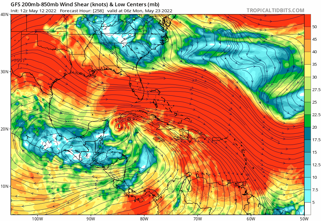
SFLcane wrote:Like this makes any sense plowing a tc through 50kt shear...Complete nonsence!
https://i.postimg.cc/0jHWCNG7/gfs-jpeg.gif
It's possible but it requires the perfect mix of DMAX and a strong upper-level warm core to produce the outflow needed for it to just plow through the PV streamer but meh I just don't see it...


