https://ftp.nhc.noaa.gov/atcf/btk
ATL: Ex INVEST 90L - Discussion
Moderator: S2k Moderators
ATL: Ex INVEST 90L - Discussion
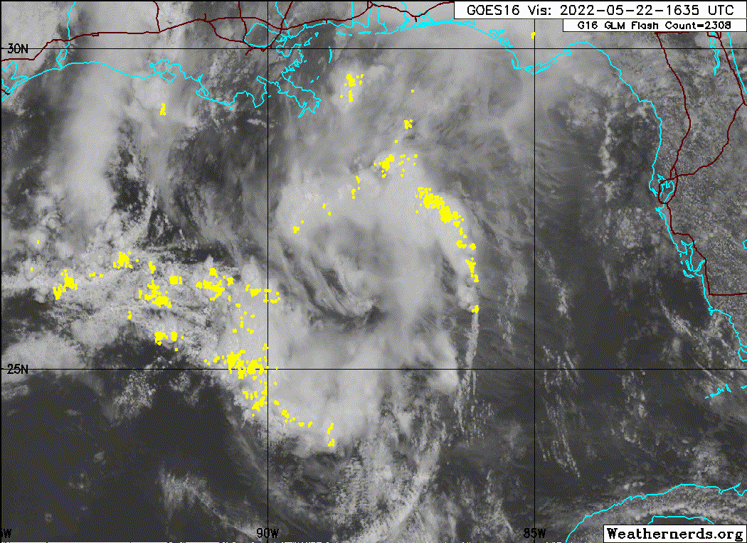
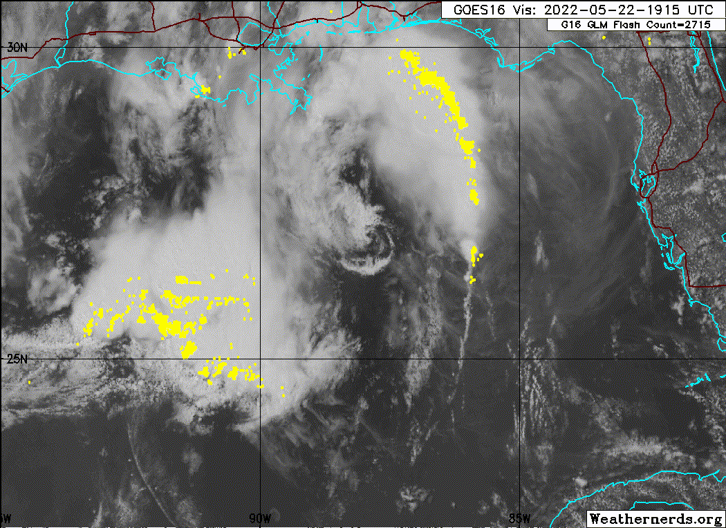
AL, 90, 2022052218, , BEST, 0, 266N, 880W, 25, 1014, LO, 34, NEQ, 0, 0, 0, 0, 1016, 100, 30, 0, 0, L, 0, , 0, 0, INVEST, S, 0, , 0, 0, 0, 0, genesis-num, 004, SPAWNINVEST, al742022 to al902022,
https://ftp.nhc.noaa.gov/atcf/btk
Last edited by zzh on Sun May 22, 2022 3:11 pm, edited 1 time in total.
0 likes
- tropicwatch
- Category 5
- Posts: 3364
- Age: 61
- Joined: Sat Jun 02, 2007 10:01 am
- Location: Panama City Florida
- Contact:
Re: ATL: Invest 90L
That was quick!
0 likes
Tropicwatch
Agnes 72', Eloise 75, Elena 85', Kate 85', Charley 86', Florence 88', Beryl 94', Dean 95', Erin 95', Opal 95', Earl 98', Georges 98', Ivan 2004', Arlene 2005', Dennis 2005', Ida 2009' Debby 2012' Irma 2017' Michael 2018'
- galaxy401
- Category 5
- Posts: 2410
- Age: 29
- Joined: Sat Aug 25, 2012 9:04 pm
- Location: Casa Grande, Arizona
Re: ATL: Invest 90L
Oooh boy first one for the year! Probably just be a lot of rain for the region. How many will there be this season?!
0 likes
Got my eyes on moving right into Hurricane Alley: Florida.
- Iceresistance
- Category 5
- Posts: 9279
- Age: 21
- Joined: Sat Oct 10, 2020 9:45 am
- Location: Tecumseh, OK/Norman, OK
Re: ATL: Invest 90L
NHC only has 10/10% chance of development. But does mention gusty winds and heavy rainfall for Louisiana and Panhandle Florida.
0 likes
Bill 2015 & Beta 2020
Winter 2020-2021
All observations are in Tecumseh, OK unless otherwise noted.
Winter posts are focused mainly for Oklahoma & Texas.
Take any of my forecasts with a grain of salt, refer to the NWS, SPC, and NHC for official information
Never say Never with weather! Because ANYTHING is possible!
Winter 2020-2021

All observations are in Tecumseh, OK unless otherwise noted.
Winter posts are focused mainly for Oklahoma & Texas.
Take any of my forecasts with a grain of salt, refer to the NWS, SPC, and NHC for official information
Never say Never with weather! Because ANYTHING is possible!
- Category5Kaiju
- Category 5
- Posts: 4051
- Joined: Thu Dec 24, 2020 12:45 pm
- Location: Seattle
Re: ATL: Invest 90L
Gotta love the anomalously warm GoM now. Part of me thinks that we could see something briefly come out of this system as the thermodynamics alone seem very favorable
0 likes
Unless explicitly stated, all info in my posts is based on my own opinions and observations. Tropical storms and hurricanes can be extremely dangerous. Do not think you can beat Mother Nature. Refer to an accredited weather research agency or meteorologist if you need to make serious decisions regarding an approaching storm.
-
- S2K Supporter
- Posts: 6358
- Age: 62
- Joined: Sun Aug 31, 2003 1:01 pm
- Location: Miramar Bch. FL
Re: ATL: INVEST 90L- Discussion
That circulation is definitely not down at the surface, maybe 850mb level and no deep convection around it, should fizzle.
3 likes
- ElectricStorm
- Category 5
- Posts: 5017
- Age: 24
- Joined: Tue Aug 13, 2019 11:23 pm
- Location: Skiatook, OK / Norman, OK
Re: ATL: INVEST 90L- Discussion
First invest of the year! Not expecting this to much but you never know... The season is just around the corner
0 likes
I am in no way a professional. Take what I say with a grain of salt as I could be totally wrong. Please refer to the NHC, NWS, or SPC for official information.
Boomer Sooner!
Boomer Sooner!
Re: ATL: INVEST 90L- Discussion
Dean4Storms wrote:That circulation is definitely not down at the surface, maybe 850mb level and no deep convection around it, should fizzle.
That little vort steaming north without much convection?
It should be picking up more convection if it was at the surface.

0 likes
-
- Category 5
- Posts: 8903
- Age: 39
- Joined: Thu Jul 06, 2017 1:51 am
- InfernoFlameCat
- Category 5
- Posts: 2102
- Age: 22
- Joined: Mon Dec 14, 2020 10:52 am
- Location: Buford, GA
Re: ATL: INVEST 90L- Discussion
Dean4Storms wrote:That circulation is definitely not down at the surface, maybe 850mb level and no deep convection around it, should fizzle.
Yeah, I’d peg that around 850mb or a little higher. It consists of clouds indicative of drier air, such as altocumulus. Might stay together up until landfall though if no MCC flat out destroys it.
Also, if it was at the surface, we would see immediate convection booming from all that convergence. Hence why it appears to be a mid level circulation.
0 likes
I am by no means a professional. DO NOT look at my forecasts for official information or make decisions based on what I post.
Goal: to become a registered expert over tropical and subtropical cyclones.
- cycloneye
- Admin
- Posts: 143862
- Age: 68
- Joined: Thu Oct 10, 2002 10:54 am
- Location: San Juan, Puerto Rico
Re: ATL: INVEST 90L - Discussion
0 likes
Visit the Caribbean-Central America Weather Thread where you can find at first post web cams,radars
and observations from Caribbean basin members Click Here
- InfernoFlameCat
- Category 5
- Posts: 2102
- Age: 22
- Joined: Mon Dec 14, 2020 10:52 am
- Location: Buford, GA
Re: ATL: INVEST 90L - Discussion
Mild convection is propagating over the swirl.
0 likes
I am by no means a professional. DO NOT look at my forecasts for official information or make decisions based on what I post.
Goal: to become a registered expert over tropical and subtropical cyclones.
- cheezyWXguy
- Category 5
- Posts: 6091
- Joined: Mon Feb 13, 2006 12:29 am
- Location: Dallas, TX
Re: ATL: INVEST 90L - Discussion
Huh, so this came to pass after all. Made a post about its depiction on the 18z hrrr in the models thread yesterday, but as with the above posts, I can’t imagine anything other than rain coming of this.
0 likes
- InfernoFlameCat
- Category 5
- Posts: 2102
- Age: 22
- Joined: Mon Dec 14, 2020 10:52 am
- Location: Buford, GA
Re: ATL: INVEST 90L - Discussion
Convection over the center is increasing and the swirl appears to be near surface based. It is organizing. The question is, does it have the time to become a brief depression?
1 likes
I am by no means a professional. DO NOT look at my forecasts for official information or make decisions based on what I post.
Goal: to become a registered expert over tropical and subtropical cyclones.
-
- Category 5
- Posts: 8903
- Age: 39
- Joined: Thu Jul 06, 2017 1:51 am
Re: ATL: INVEST 90L - Discussion
The LLC/MLC looks pretty good and there's some convection forming over the center. I've seen less organized named storms. We will see if we can get any solid surface data based on buoy data or ascat to confirm a closed LLC.


0 likes
- InfernoFlameCat
- Category 5
- Posts: 2102
- Age: 22
- Joined: Mon Dec 14, 2020 10:52 am
- Location: Buford, GA
Re: ATL: INVEST 90L - Discussion
The system is evidently surfaced based now. Dare I say cyclogenesis is underway?
1 likes
I am by no means a professional. DO NOT look at my forecasts for official information or make decisions based on what I post.
Goal: to become a registered expert over tropical and subtropical cyclones.
- tropicwatch
- Category 5
- Posts: 3364
- Age: 61
- Joined: Sat Jun 02, 2007 10:01 am
- Location: Panama City Florida
- Contact:
Re: ATL: INVEST 90L - Discussion
Well pressures are falling in the Florida Panhandle and in the gulf. Ships reporting an hour apart.
SHIP
Location: 29.5N 87.4W
05/22/2022 2300 UTC
Winds: E (80°) at 42.0 kts
Atmospheric Pressure: 30.00 in
Air Temperature: 77.5 °F
Dew Point: 70.5 °F
SHIP
Location: 29.4N 87.5W
05/22/2022 2200 UTC
Winds: E (80°) at 45.1 kts
Atmospheric Pressure: 30.00 in
Air Temperature: 76.1 °F
Dew Point: 70.2 °F
SHIP
Location: 29.5N 87.4W
05/22/2022 2300 UTC
Winds: E (80°) at 42.0 kts
Atmospheric Pressure: 30.00 in
Air Temperature: 77.5 °F
Dew Point: 70.5 °F
SHIP
Location: 29.4N 87.5W
05/22/2022 2200 UTC
Winds: E (80°) at 45.1 kts
Atmospheric Pressure: 30.00 in
Air Temperature: 76.1 °F
Dew Point: 70.2 °F
0 likes
Tropicwatch
Agnes 72', Eloise 75, Elena 85', Kate 85', Charley 86', Florence 88', Beryl 94', Dean 95', Erin 95', Opal 95', Earl 98', Georges 98', Ivan 2004', Arlene 2005', Dennis 2005', Ida 2009' Debby 2012' Irma 2017' Michael 2018'
- cycloneye
- Admin
- Posts: 143862
- Age: 68
- Joined: Thu Oct 10, 2002 10:54 am
- Location: San Juan, Puerto Rico
Re: ATL: INVEST 90L - Discussion
Tropical Weather Outlook
NWS National Hurricane Center Miami FL
800 PM EDT Sun May 22 2022
For the North Atlantic...Caribbean Sea and the Gulf of Mexico:
1. North Central Gulf of Mexico:
An area of low pressure is located over the north-central Gulf of
Mexico about 150 miles south of Pensacola, Florida. This system is
producing disorganized thunderstorms and gusty winds across portions
of the Florida Panhandle, southern Alabama, and over the central and
northern Gulf of Mexico. Surface pressures remain high, and strong
upper-level winds should prevent significant development before this
system moves inland over the central Gulf Coast later tonight or on
Monday. Regardless of development, heavy rainfall and gusty winds
are expected to continue across portions of the central Gulf Coast
and will spread across the southeast U.S. during the next day or so.
Additional information on the rainfall and flooding potential can be
found in products issued by your local National Weather Service
Forecast Office and Excessive Rainfall Outlooks issued by the
Weather Prediction Center.
* Formation chance through 48 hours...low...10 percent.
* Formation chance through 5 days...low...10 percent.
Forecaster Cangialosi
0 likes
Visit the Caribbean-Central America Weather Thread where you can find at first post web cams,radars
and observations from Caribbean basin members Click Here
Re: ATL: INVEST 90L - Discussion
tropicwatch wrote:SHIP
Location: 29.4N 87.5W
05/22/2022 2200 UTC
Winds: E (80°) at 45.1 kts
Atmospheric Pressure: 30.00 in
Air Temperature: 76.1 °F
Dew Point: 70.2 °F
Hmm, that 45.1kt wind could make the case for it with more verification, although it would be short lived. That line near Jackson Mississippi may be showing the steering current there for it, I'm curious how that reacts with this.
Last edited by BobHarlem on Sun May 22, 2022 6:24 pm, edited 1 time in total.
0 likes
- tropicwatch
- Category 5
- Posts: 3364
- Age: 61
- Joined: Sat Jun 02, 2007 10:01 am
- Location: Panama City Florida
- Contact:
Re: ATL: INVEST 90L - Discussion
Not totally on board with the high upper-level winds comment. Shear above this system appears not to be too terribly bad.
http://tropic.ssec.wisc.edu/real-time/windmain.php?&basin=atlantic&sat=wg8&prod=shr&zoom=&time=
0 likes
Tropicwatch
Agnes 72', Eloise 75, Elena 85', Kate 85', Charley 86', Florence 88', Beryl 94', Dean 95', Erin 95', Opal 95', Earl 98', Georges 98', Ivan 2004', Arlene 2005', Dennis 2005', Ida 2009' Debby 2012' Irma 2017' Michael 2018'
Who is online
Users browsing this forum: No registered users and 38 guests