Oooh I LOVE this subject. Super fascinating stuff. Right off the top of my head 92L from last month one could almost make a case for...
And I could probably argue about multiple tropical storms this year being judgment calls (still unsure about Olga, mainly; usually something that lasts only 12 hours isn't classified) not to mention a few subtropical storms lately that seemed to barely meet criterion (Leslie's initial STS phase comes to mind with rather sparse convection) but lemme dig into my saved satellite archives and see what else I can come up with.
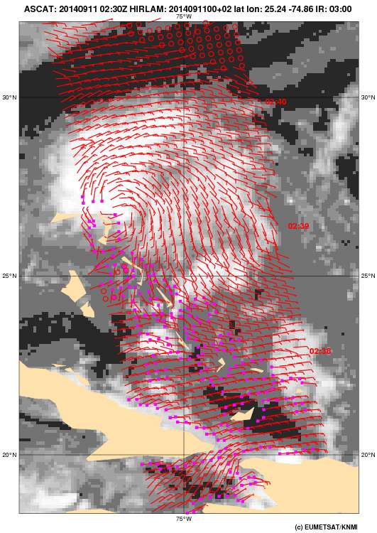
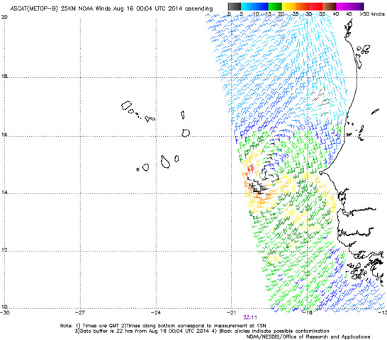
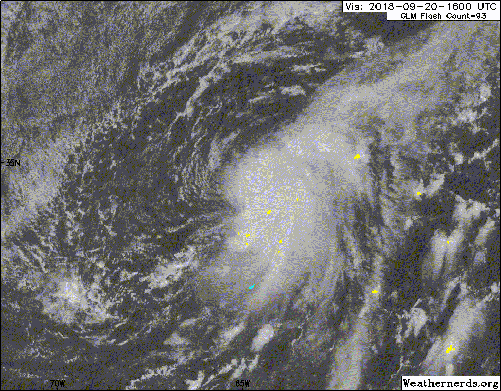
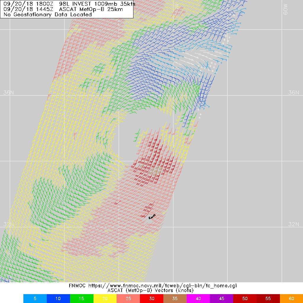
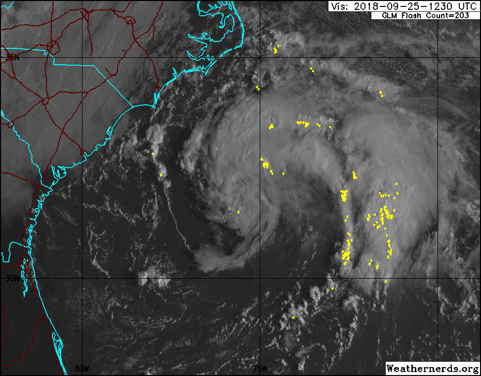
I'll second that 98L last year after Florence was a big one; the most extremely egregious case I can recall recently, and I think could have been classified more so than many marginal subtropical systems in recent decades even despite their hesitation due to scatterometer being a little unsure.
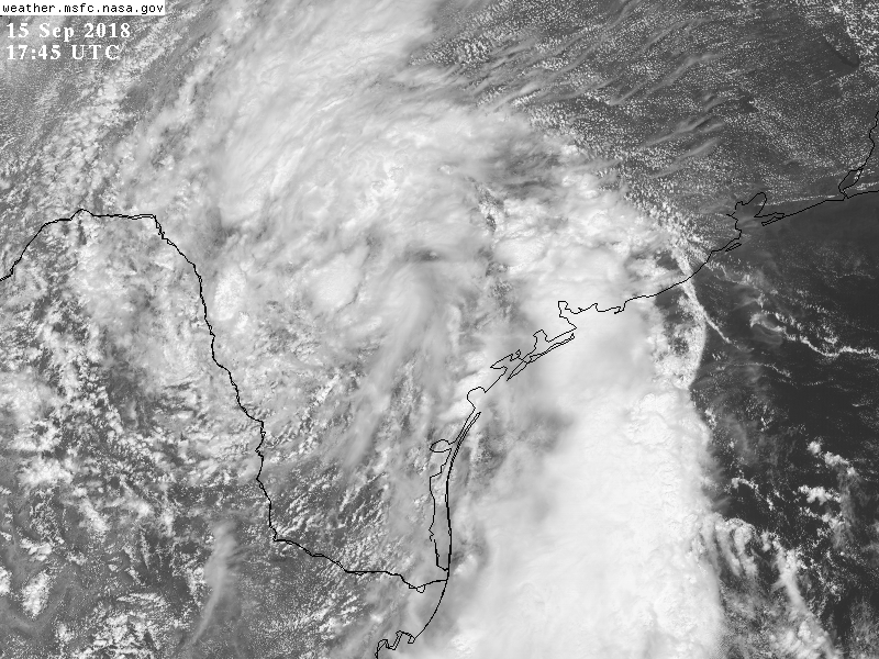
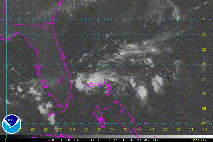
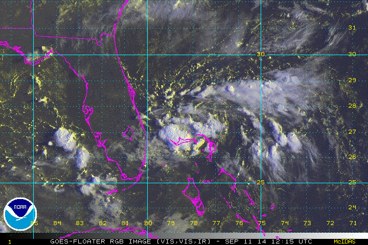
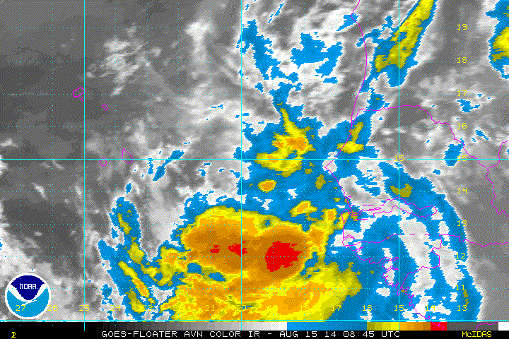
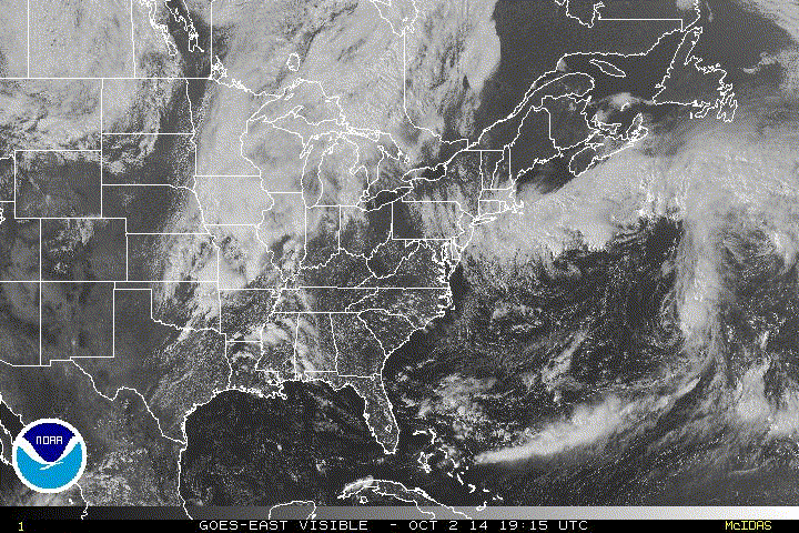
The October 9 2011 Florida storm (93L) is often mentioned when this subject comes up though there are debates.
A few recent cases that probably did NOT warrant classification but came VERY close and might still be as good a case as our most marginal classified tropical cyclones-
The tropical wave NE of where Nate developed in 2017 almost produced a tropical depression/storm in the Florida Straits had shear been weaker, but there were questions about being completely closed off and depth of convection; still awfully close.

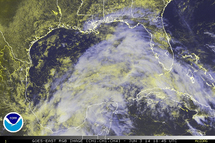
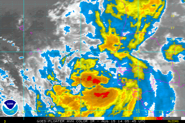
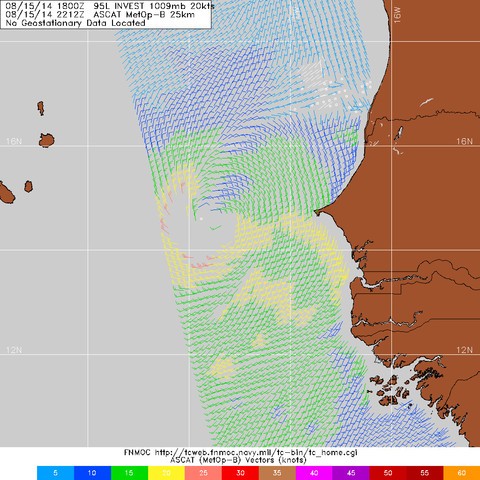
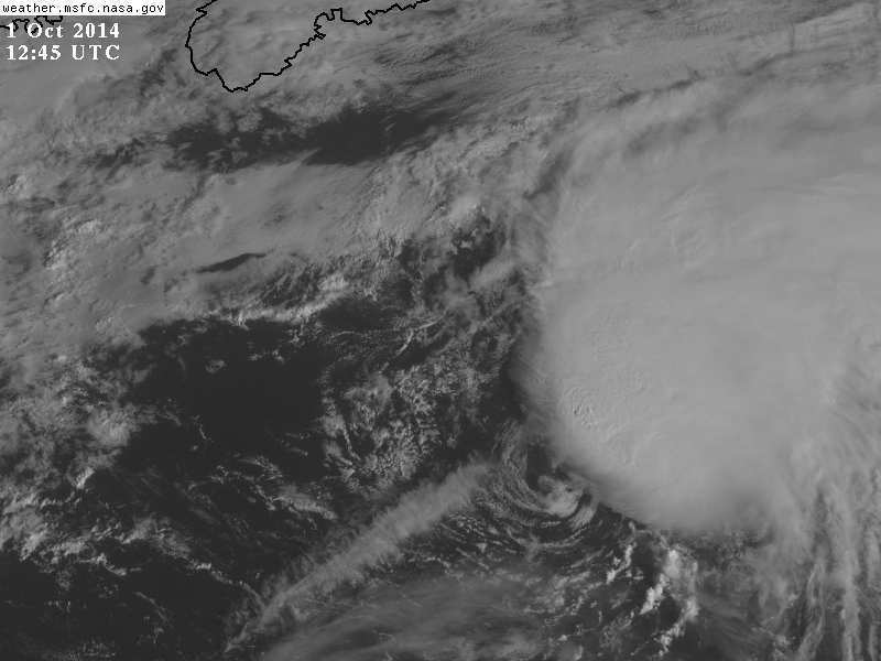
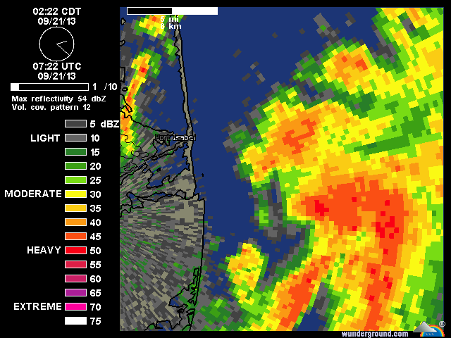
95L in Sept 2013 came very close to becoming a tropical depression off the Texas coast before it was carried east with a front... and the remnant vorticity persisted for a few days unlike most weak systems.
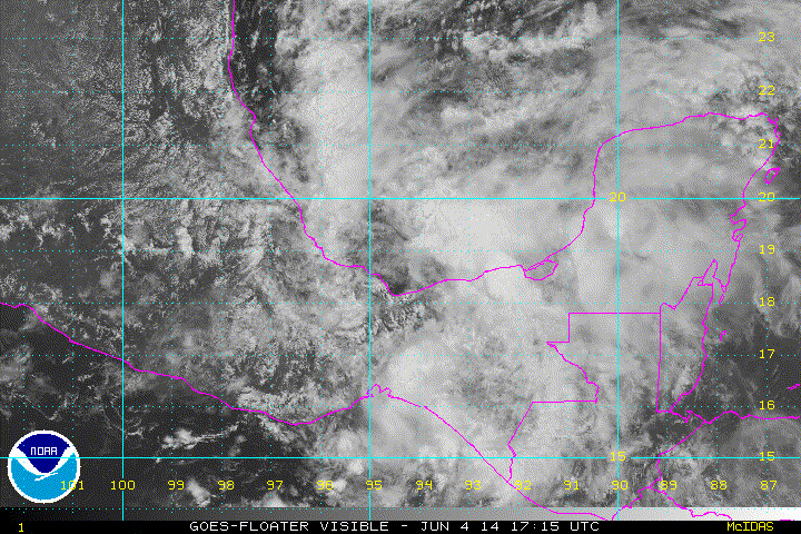
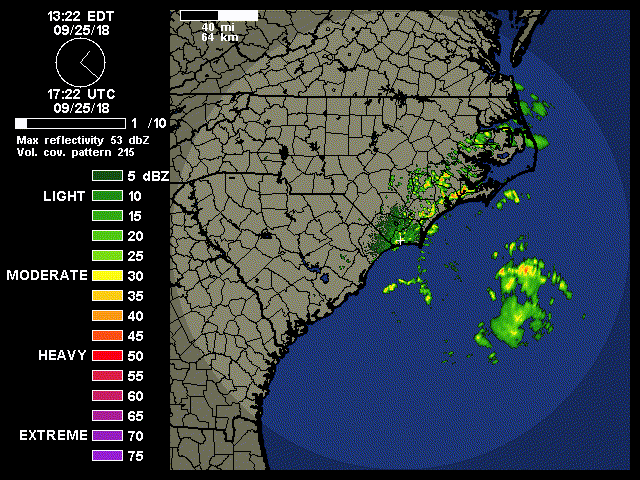
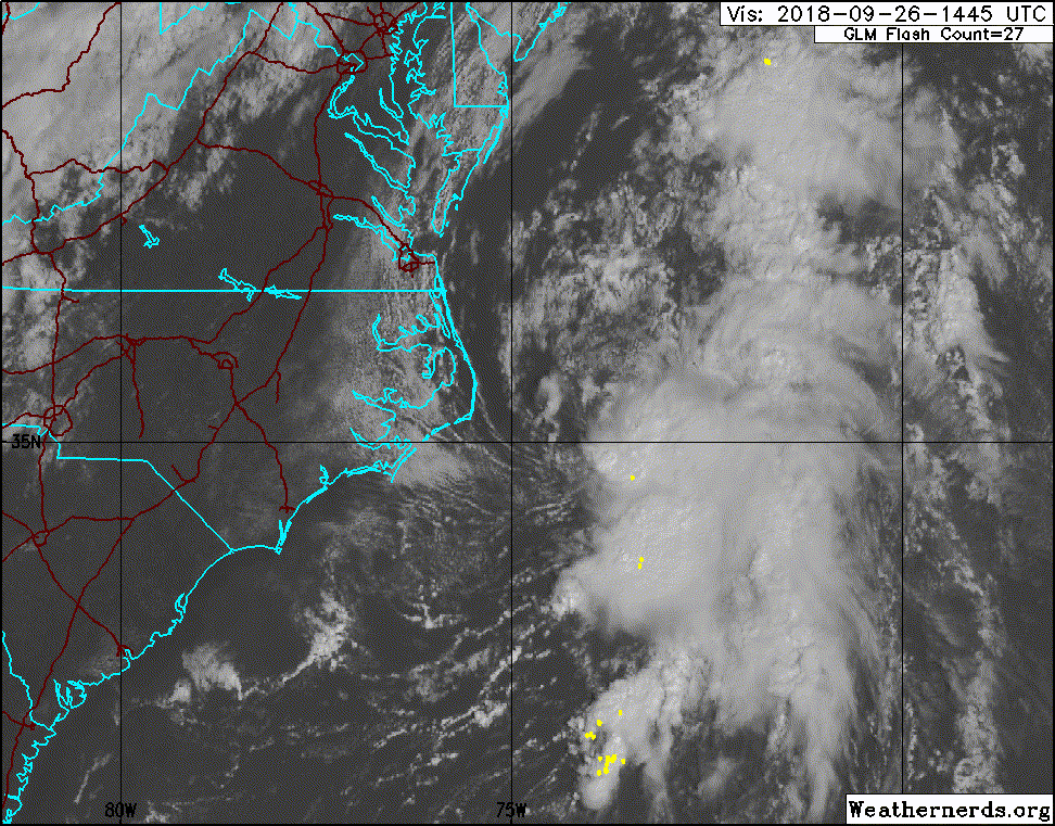
Another 95L, last year, in the Gulf during Florence's landfall never really
fully closed off in the Gulf but once it went ashore it maintained an organized at least mid level spin for days and well arranged convection, would've absolutely been our FIFTH simultaneous tropical cyclone in the Atlantic if it had 12 more hours over water... reminds me very much of Imelda this year just didn't have that extra burst of time