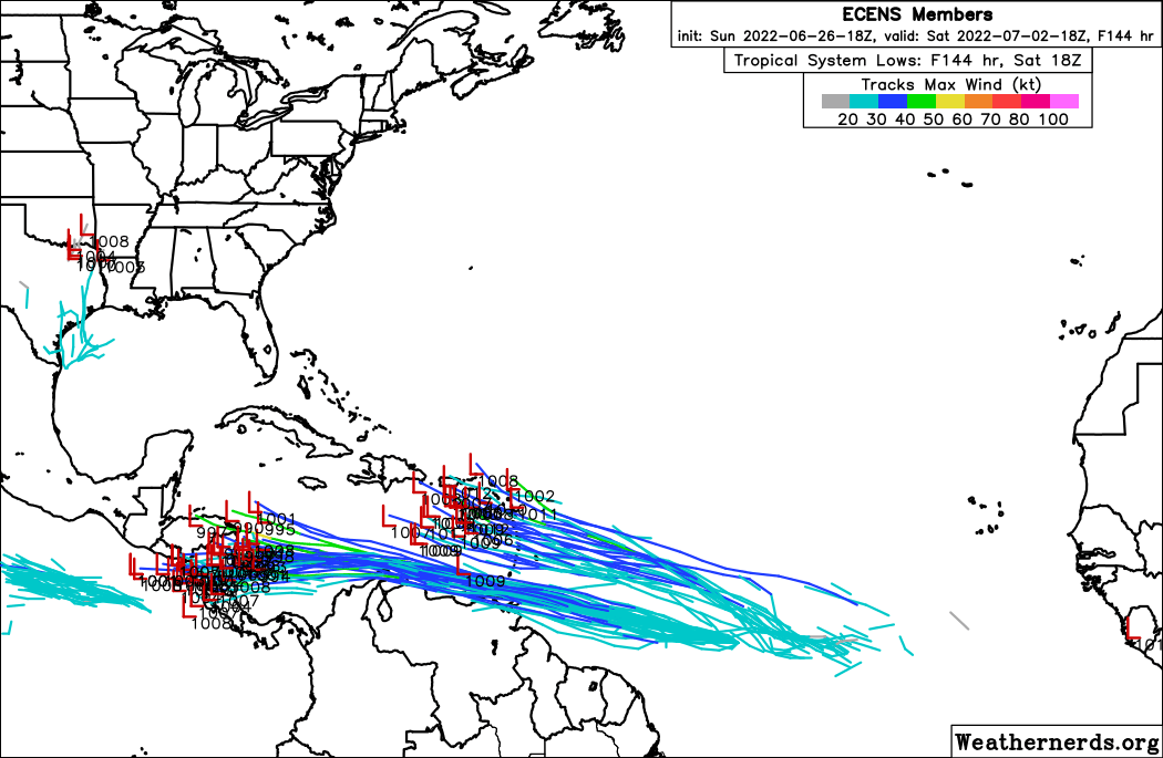
zzh wrote:https://i.imgur.com/EQVBaht.png
The wave behind 94L.
This one looks better organized than 94L currently. The Northern Lesser Antilles and the Greater Antilles should keep an eye on this.
Moderator: S2k Moderators


zzh wrote:https://i.imgur.com/EQVBaht.png
The wave behind 94L.


wxman57 wrote:I'm beginning to think that we'll see Bonnie form over the 4th of July weekend offshore of the Carolinas, starting out as thunderstorms along the trailing end of a cold front. Very common occurrence in early July. Arthur (2014) formed in early July in the same manner. Not saying a hurricane taking Arthur's track, just that it's the place most likely to produce Bonnie over the next couple of weeks. In addition, I'm taking a vacation day July 5th to have a 4-day weekend. The tropics generally develop a storm to spoil my vacation days. Don't tell the tropics I'm taking tomorrow off.


A quiet period is in the cards fora few weeks then a full on active season into November. Use this time to ensure your genny is up to the task.AtlanticWind wrote:This thread is extremely quiet as the models show nothing out to day 16
Although the models are not very good on genesis beyond 5 or 6 days, I dont
expect much until maybe the last week of July.


Kingarabian wrote:GFS had something from in the SW Caribbean and shoot NW.


jconsor wrote:Slow-moving system expected to develop near central Gulf coast Mon needs to be watched carefully. Unlikely to become a pure tropical cyclone, but could take on a warm core. Rain/flooding impacts could be significant from LA to NW FL Mon-Wed, and possibly further up through the southeast and toward the mid-Atlantic coast mid to late next week.
https://twitter.com/yconsor/status/1545422901754593280
https://twitter.com/yconsor/status/1545424738092294146
https://twitter.com/yconsor/status/1545426914071937026
SoupBone wrote:jconsor wrote:Slow-moving system expected to develop near central Gulf coast Mon needs to be watched carefully. Unlikely to become a pure tropical cyclone, but could take on a warm core. Rain/flooding impacts could be significant from LA to NW FL Mon-Wed, and possibly further up through the southeast and toward the mid-Atlantic coast mid to late next week.
https://twitter.com/yconsor/status/1545422901754593280
https://twitter.com/yconsor/status/1545424738092294146
https://twitter.com/yconsor/status/1545426914071937026
Any chance some of it meanders toward Texas?
ronjon wrote:12z ICON develops 1005 mb low near Mobile later this week. 12z Euro continues development of this low and shunts it NE while again developing a second low next Saturday in the NE GOM. Going to have to watch these tail end of trough lows...one might get going the next week.
ronjon wrote:12z ICON develops 1005 mb low near Mobile later this week. 12z Euro continues development of this low and shunts it NE while again developing a second low next Saturday in the NE GOM. Going to have to watch these tail end of trough lows...one might get going the next week.


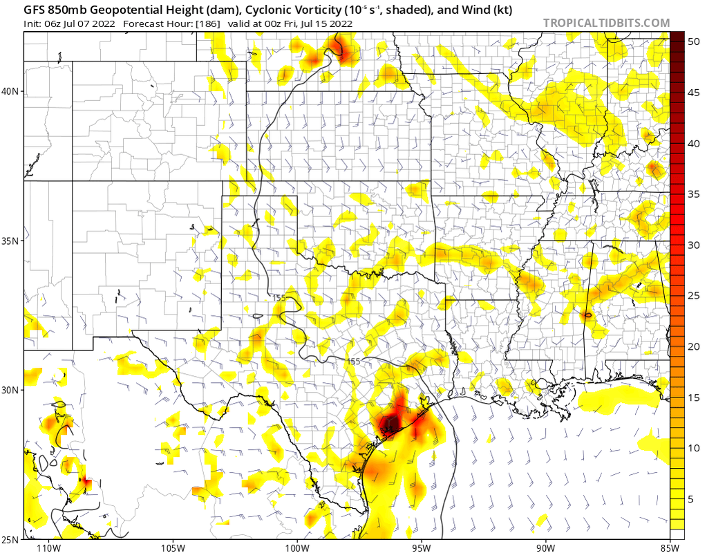
cycloneye wrote:Well, very long range from GFS around July 26-27 when it has a strong wave that has a low pressure down to 1005 mbs, but later it weakens.
https://i.imgur.com/sO4zh4F.gif
Users browsing this forum: cycloneye and 78 guests


