


Ntxw wrote:Just an observation but 2000 seems to be popping up on list after list. I bet if you were gather all the tweets, experts, posts, etc 2000 is the most pinged. Curious if that analog works out, fits the background state and 3rd year -ENSO.
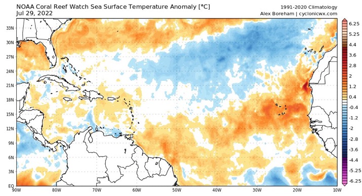
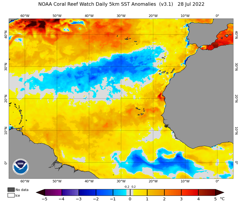
It's very true to suggest that 2000 would be a good analog for this year considering it's like the only other third-year La Nina in recent times. The only downside about using 2000 as an analog year is this:
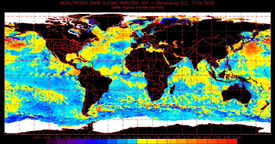
*btw, if somebody would be kind enough to instruct me on how to find pre-2020 seasonal sst anomaly maps relating to the 5 km resolution NOAA ones, then I would sincerely appreciate that as I am a bit lost on where to find those exactly
The MDR is MUCH cooler compared to what we're seeing now. 2000 simply did not have the sst anomaly setup for a potent season.


