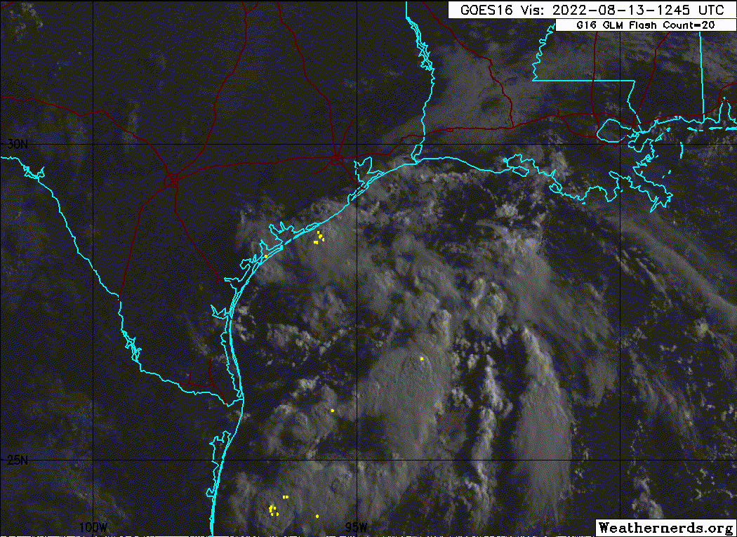
jaguars_22 wrote:I’m almost wondering if the lower pressure is going to form off to the NE where that band is wrapping
You're pretty close to the truth. The surface vorticity chart really exhibits an elongated trough, with lowering pressure stretched along this entire gradient:

WPC surface chart analysis:

What generally happens in this scenario is multiple areas of vorticity will develop along the trough axis. Not always, but typically the dominant surface vorticity follows the lowering pressure along the trough axis to the northern flank, where convective convergence is strongest.
Personally, I think chances are much higher than 20% for this to close off right before coming ashore (50/50 shot imo). Time is the biggest detriment to development (has about a 15-18 hour window before coming ashore) as well as the disorganized manner of the convection (and some slight continental dry air intrusions typical for this area). The high pressure area in the NE GOM that is expanding and shoving this inland isn't oriented to fully aid in TCG (typically low pressure on the SW flank is the most optimal). Otherwise the upper-level environment is solid, low shear, and RH values are conducive for TCG.