
trend

Moderator: S2k Moderators


tolakram wrote:Low over NE was over Indiana just a run ago. Might be a bad run?
https://i.imgur.com/QUpk9mG.png

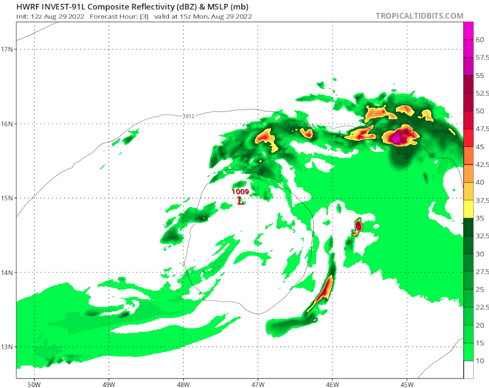
Blown Away wrote:[url]https://i.postimg.cc/8k2qynwh/hwrf-ref-91-L-fh3-126.gif [/url]
12z HWRF. Behaving as expected.


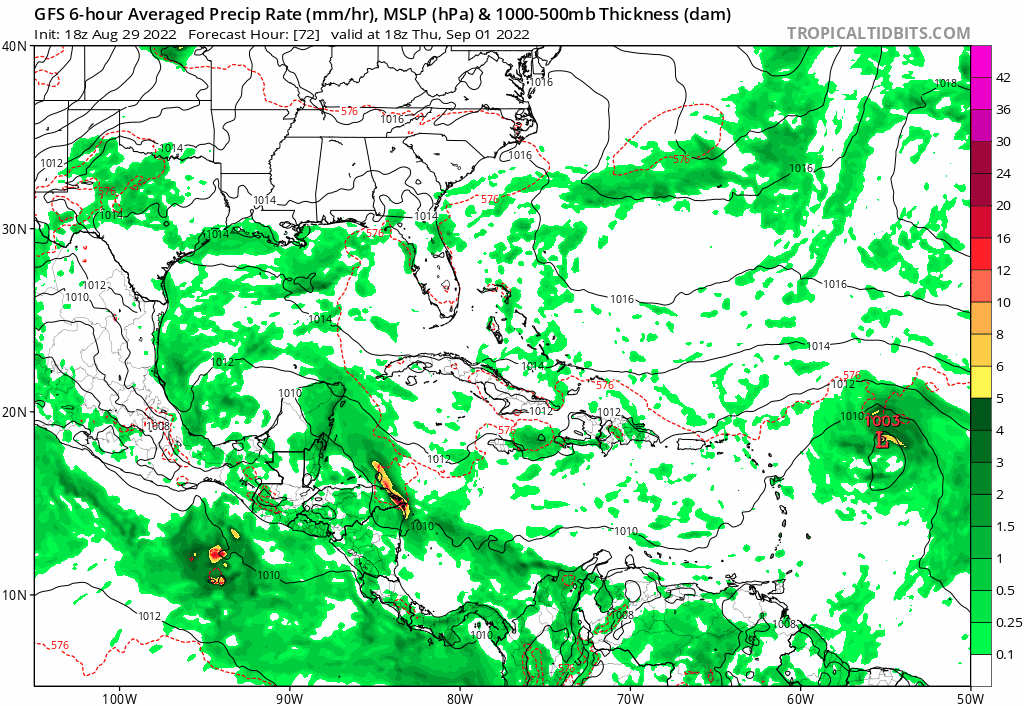


gatorcane wrote:Posting frequency has dropped of dramatically in 24 hours. That is when you know models must be showing a recurve or fish well except if you live in Bermuda. Also shows a strong hurricane. Kudos to the GFS, it seems to have nailed the pattern first way in advance. Threatens Bermuda on this run:
https://i.postimg.cc/fLJP79K6/gfs-mslp-pcpn-watl-fh72-180.gif


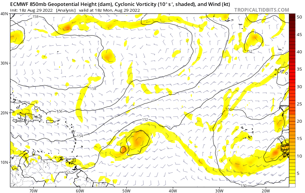
Blown Away wrote:[url]https://i.postimg.cc/Pf0t739d/ecmwf-z850-vort-eatl-fh0-90.gif [/url]
18z ECMWF… Decent S shift at 90 hrs. Only model to show the SE convection blob happening now.

sma10 wrote:Blown Away wrote:[url]https://i.postimg.cc/Pf0t739d/ecmwf-z850-vort-eatl-fh0-90.gif [/url]
18z ECMWF… Decent S shift at 90 hrs. Only model to show the SE convection blob happening now.
Also, 18z EPS with a fairly noticeable southern shift in ensembles. Hopefully someone with better skills than myself will post


skyline385 wrote:0Z ICON now recurving at the end of its run as well
https://s6.gifyu.com/images/icon_mslp_pcpn_watl_fh120-180-1.gif
Users browsing this forum: No registered users and 8 guests

