https://ftp.nhc.noaa.gov/atcf/btk/
EPAC: MADELINE - Remnants
Moderator: S2k Moderators
EPAC: MADELINE - Remnants
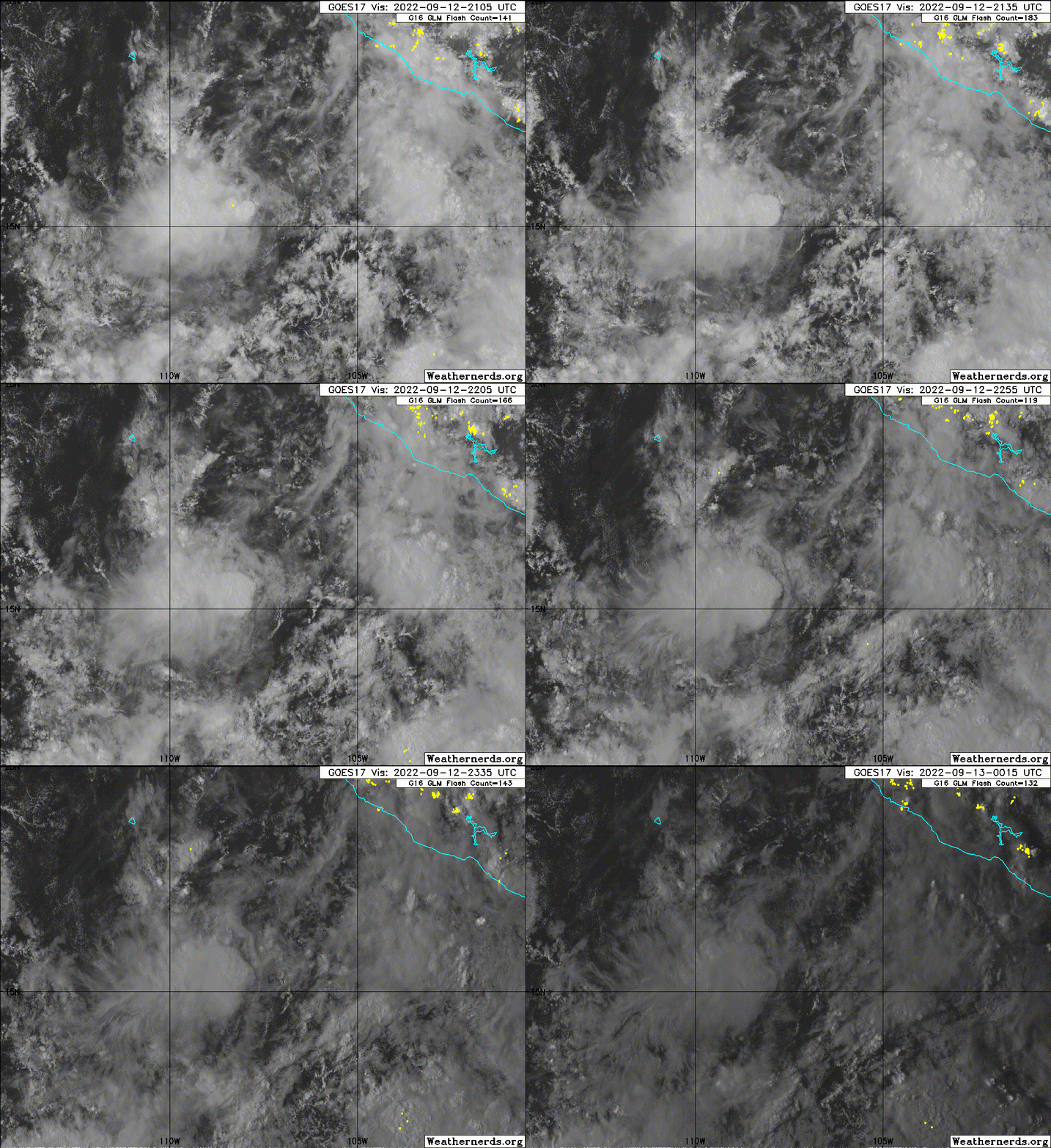
EP, 94, 2022091212, , BEST, 0, 158N, 1068W, 25, 1008, LO, 34, NEQ, 0, 0, 0, 0, 1010, 90, 30, 0, 0, E, 0, , 0, 0, INVEST, S, 0, , 0, 0, 0, 0, genesis-num, 021, SPAWNINVEST, ep732022 to ep942022,
https://ftp.nhc.noaa.gov/atcf/btk/
0 likes
-
Sciencerocks
- Category 5

- Posts: 10193
- Age: 40
- Joined: Thu Jul 06, 2017 1:51 am
- Kingarabian
- S2K Supporter

- Posts: 16379
- Joined: Sat Aug 08, 2009 3:06 am
- Location: Honolulu, Hawaii
Re: EPAC: INVEST 94E
LLC looks stretched but it's a smaller system. May spin up quickly.
0 likes
RIP Kobe Bryant
- cycloneye
- Admin

- Posts: 149716
- Age: 69
- Joined: Thu Oct 10, 2002 10:54 am
- Location: San Juan, Puerto Rico
Re: EPAC: INVEST 94E
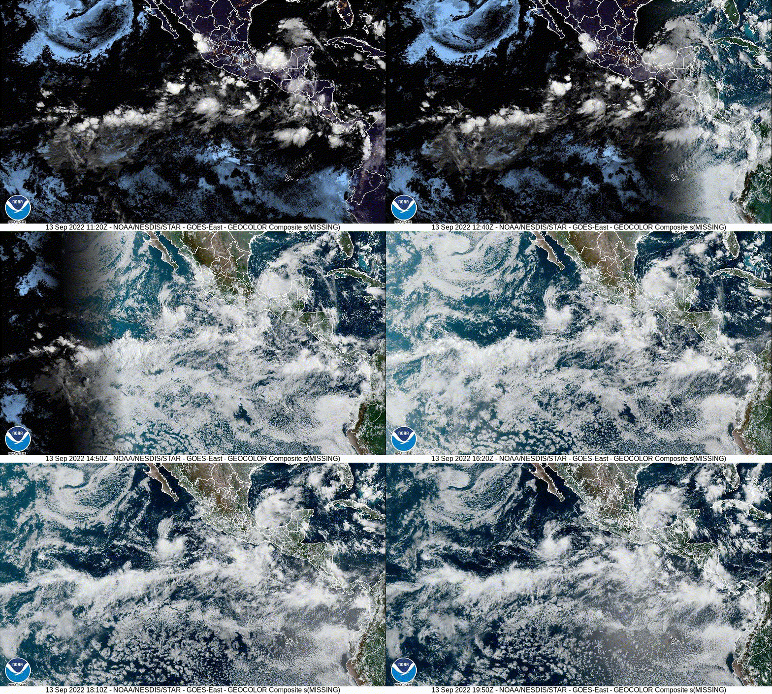
The merge.
Tropical Weather Outlook
NWS National Hurricane Center Miami FL
1100 AM PDT Mon Sep 12 2022
For the eastern North Pacific...east of 140 degrees west longitude:
1. Southwest of southwestern Mexico:
A small area of low pressure located a few hundred miles
south-southwest of Manzanillo, Mexico continues to produce an
area of disorganized showers and thunderstorms to the southwest of
its center. Although environmental conditions are only marginally
conducive, some additional gradual development is possible during
the next day or two. The system is forecast to move little through
midweek, then merge with the disturbance to its east shortly
thereafter.
* Formation chance through 48 hours...low...20 percent.
* Formation chance through 5 days...low...20 percent.
2. Near the coast of southern Mexico:
A trough of low pressure located along the coast of southern Mexico
is producing disorganized cloudiness and showers. This system is
forecast to interact and merge with the disturbance off the
southwestern coast of Mexico around midweek, and environmental
conditions are expected to become more conducive for development
by that time. A tropical depression is likely to form during the
latter part of this week while the system moves slowly westward near
the coast of southern and southwestern Mexico.
* Formation chance through 48 hours...low...10 percent.
* Formation chance through 5 days...high...70 percent.
Forecaster Brown
0 likes
Visit the Caribbean-Central America Weather Thread where you can find at first post web cams,radars
and observations from Caribbean basin members Click Here
and observations from Caribbean basin members Click Here
- Yellow Evan
- Professional-Met

- Posts: 16257
- Age: 27
- Joined: Fri Jul 15, 2011 12:48 pm
- Location: Henderson, Nevada/Honolulu, HI
- Contact:
-
Sciencerocks
- Category 5

- Posts: 10193
- Age: 40
- Joined: Thu Jul 06, 2017 1:51 am
- Kingarabian
- S2K Supporter

- Posts: 16379
- Joined: Sat Aug 08, 2009 3:06 am
- Location: Honolulu, Hawaii
- DorkyMcDorkface
- Category 5

- Posts: 1043
- Age: 28
- Joined: Mon Sep 30, 2019 1:32 pm
- Location: Mid-Atlantic
Re: EPAC: INVEST 94E
Dunno why NHC left this at 20/20 on the most recent TWO when this already appears to be a TD. Would have at least expected 50/50 or something like that.
1 likes
Please note the thoughts expressed by this account are solely those of the user and are from a hobbyist perspective. For more comprehensive analysis, consult an actual professional meteorologist or meteorological agency.
Floyd 1999 | Isabel 2003 | Hanna 2008 | Irene 2011 | Sandy 2012 | Isaias 2020
- Kingarabian
- S2K Supporter

- Posts: 16379
- Joined: Sat Aug 08, 2009 3:06 am
- Location: Honolulu, Hawaii
Re: EPAC: INVEST 94E
We'll see if it falls apart, but present trends favor the NCEP solutions.
0 likes
RIP Kobe Bryant
-
Sciencerocks
- Category 5

- Posts: 10193
- Age: 40
- Joined: Thu Jul 06, 2017 1:51 am
- Kingarabian
- S2K Supporter

- Posts: 16379
- Joined: Sat Aug 08, 2009 3:06 am
- Location: Honolulu, Hawaii
Re: EPAC: INVEST 94E
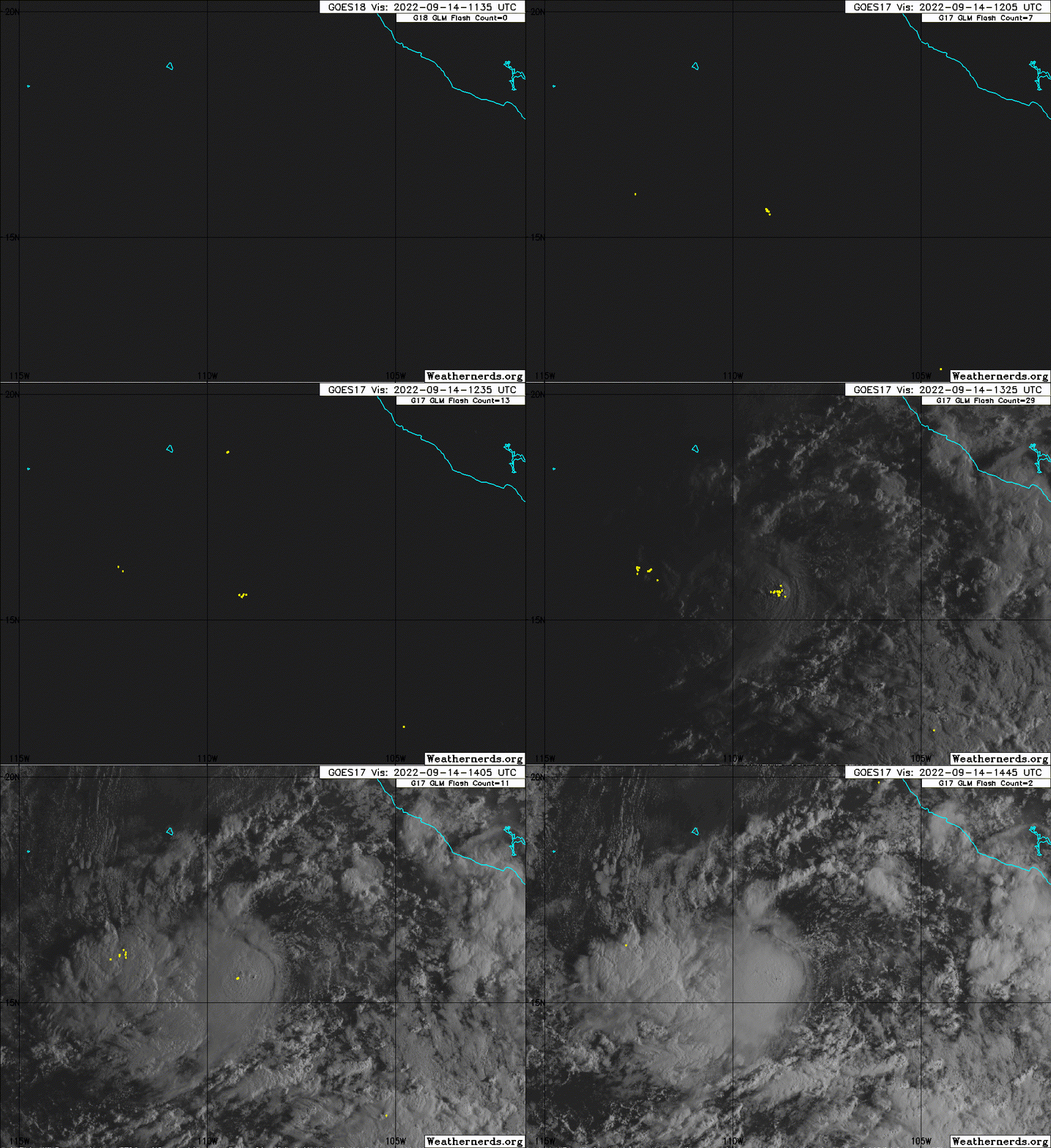
Special Tropical Weather Outlook
NWS National Hurricane Center Miami FL
745 AM PDT Wed Sep 14 2022
For the eastern North Pacific...east of 140 degrees west longitude:
Special Tropical Weather Outlook issued to update discussion of the
low pressure area southwest of southwestern Mexico.
Southwest of Southwestern Mexico:
Updated: Showers and thunderstorms associated with a low pressure
system located a few hundred miles southwest of Manzanillo, Mexico,
continue to show signs of organization. The chances for this low
to merge with another area of disturbed weather to its
east-southeast appear to be decreasing, and the system is likely to
become a tropical depression during the next day or two while
meandering southwest of the southwestern coast of Mexico.
* Formation chance through 48 hours...high...70 percent.
* Formation chance through 5 days...high...70 percent.
2 likes
-
Sciencerocks
- Category 5

- Posts: 10193
- Age: 40
- Joined: Thu Jul 06, 2017 1:51 am
- Kingarabian
- S2K Supporter

- Posts: 16379
- Joined: Sat Aug 08, 2009 3:06 am
- Location: Honolulu, Hawaii
- galaxy401
- Category 5

- Posts: 2446
- Age: 30
- Joined: Sat Aug 25, 2012 9:04 pm
- Location: Casa Grande, Arizona
Re: EPAC: INVEST 94E
Similar situation like with Seven in the Atlantic though this one isn't upgraded yet.
1 likes
Got my eyes on moving right into Hurricane Alley: Florida.
- Kingarabian
- S2K Supporter

- Posts: 16379
- Joined: Sat Aug 08, 2009 3:06 am
- Location: Honolulu, Hawaii
-
Sciencerocks
- Category 5

- Posts: 10193
- Age: 40
- Joined: Thu Jul 06, 2017 1:51 am
Re: EPAC: INVEST 94E
I'd go as far as to say that this deserves to be upgraded more then 7. Slightly Better organized.
0 likes
-
Hurricane Mike
- Category 2

- Posts: 675
- Joined: Tue Apr 10, 2018 7:44 am
- cycloneye
- Admin

- Posts: 149716
- Age: 69
- Joined: Thu Oct 10, 2002 10:54 am
- Location: San Juan, Puerto Rico
Re: EPAC: INVEST 94E
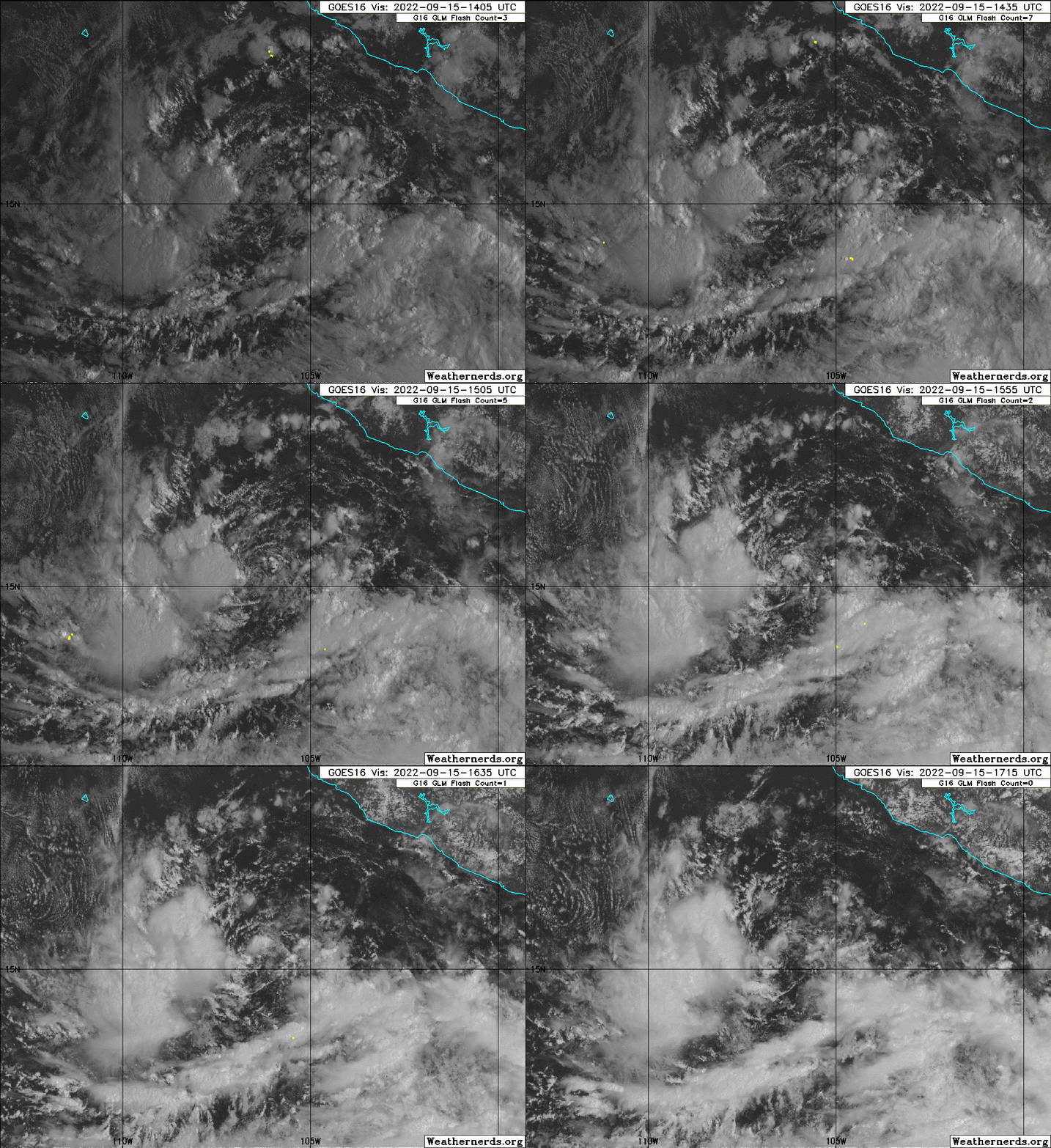
1. Southwest of Southwestern Mexico:
A low pressure system located a few hundred miles southwest of
Manzanillo, Mexico, continues to produce showers and thunderstorms,
mainly to the west of its center of circulation. Environmental
conditions appear conducive for further development of this system,
and a tropical depression is likely to form during the next couple
of days while meandering southwest of the southwestern coast of
Mexico.
* Formation chance through 48 hours...high...70 percent.
* Formation chance through 5 days...high...80 percent.
0 likes
Visit the Caribbean-Central America Weather Thread where you can find at first post web cams,radars
and observations from Caribbean basin members Click Here
and observations from Caribbean basin members Click Here
-
Sciencerocks
- Category 5

- Posts: 10193
- Age: 40
- Joined: Thu Jul 06, 2017 1:51 am
Who is online
Users browsing this forum: No registered users and 49 guests


