Sent from my iPhone using Tapatalk
Moderator: S2k Moderators


SFLcane wrote:Cant get caught up on single op runs really no value. Especially this far out.
skyline385 wrote:Front and shear starting to erode it again
https://uploads.tapatalk-cdn.com/20220921/36755504a4088f554cb90902aea9e7ed.jpg
Sent from my iPhone using Tapatalk
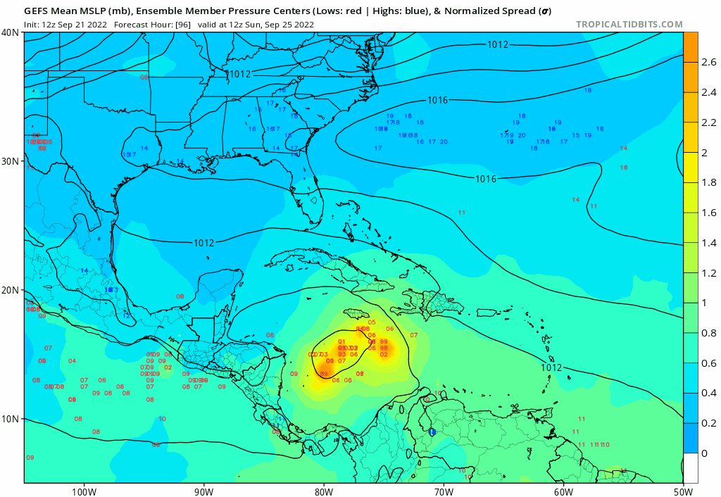
Jelmergraaff wrote:Kazmit wrote:Deepening again in the central gulf...
This GFS-run would add a whole damn lot of ACE to the count of this season...

skyline385 wrote:Jelmergraaff wrote:Kazmit wrote:Deepening again in the central gulf...
This GFS-run would add a whole damn lot of ACE to the count of this season...
Nah MDR runners are the biggest contributors of ACE, this looks to be a relatively quick system
Sent from my iPhone using Tapatalk
skyline385 wrote:Jelmergraaff wrote:Kazmit wrote:Deepening again in the central gulf...
This GFS-run would add a whole damn lot of ACE to the count of this season...
Nah MDR runners are the biggest contributors of ACE, this looks to be a relatively quick system
Sent from my iPhone using Tapatalk
Jr0d wrote:SFLcane wrote:Cant get caught up on single op runs really no value. Especially this far out.
Ill add this far out with no trackable low, cant get caught up in the model runs. We will see the windshield wiper in the days ahead.
Until we have a trackable depression/storm with a closed off low, I am not going to put much into.any single model.run, what I am watching is the spread of tracks and if the converge. So far that convergence has been Florida and the west tip of Cuba.


AutoPenalti wrote:Big Bend incoming

toad strangler wrote:AutoPenalti wrote:Big Bend incoming
I didn't think that would happen going as far S & W as it did.


toad strangler wrote:AutoPenalti wrote:Big Bend incoming
That's not the Big Bend. Western Panhandle.


Ivanhater wrote:Gfs into Pensacola

toad strangler wrote:AutoPenalti wrote:Big Bend incoming
I didn't think that would happen going as far S & W as it did.

Ivanhater wrote:toad strangler wrote:AutoPenalti wrote:Big Bend incoming
That's not the Big Bend. Western Panhandle.
It didn't. It came into the far western panhandle hitting Pensacola
skyline385 wrote:lol the front tearing 98L is creating a new system from it, peak GFS thing to do
https://uploads.tapatalk-cdn.com/20220921/5f733aede8934bec63607ac1010391d8.jpg
Sent from my iPhone using Tapatalk
Users browsing this forum: No registered users and 16 guests