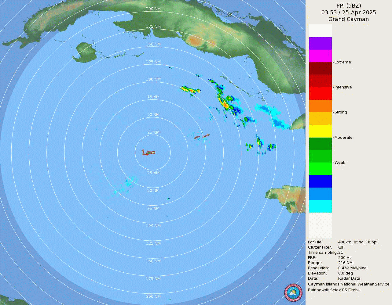
eastcoastFL wrote:Thank you to the person who provided the cayman radar link. It’s actually not bad
https://www.weather.gov.ky/assets/images/radar/ppi_400km_1k.gif
Can you share the direct link to it?
Moderator: S2k Moderators


eastcoastFL wrote:Thank you to the person who provided the cayman radar link. It’s actually not bad
https://www.weather.gov.ky/assets/images/radar/ppi_400km_1k.gif


chaser1 wrote:Blown Away wrote:It should again be stressed that there is still significant
uncertainty in the track of Ian, especially in the 3-5 day time
frame. Users should not focus on the details of the track forecast at longer time ranges.
11pm Disco… Kinda surprised they still have “significant uncertainty” given the GFS/EURO have generally moved towards an agreement from Big Bend to Tampa??
Honestly, my guess is that their uncertainty has more to do with the concern that the EURO or GFS might actually continue with easward shifts
skyline385 wrote:eastcoastFL wrote:Thank you to the person who provided the cayman radar link. It’s actually not bad
https://www.weather.gov.ky/assets/images/radar/ppi_400km_1k.gif
Can you share the direct link to it?
bonitabeachbum wrote:https://www.nhc.noaa.gov/storm_graphics/AT09/refresh/AL092022_peak_surge+png/025518_peak_surge.png
“ This graphic depicts the forecast storm surge inundation values that are provided in the tropical cyclone public advisory (TCP). These values represent the peak height the water could reach above normally dry ground somewhere within the specified areas.”
I have no idea what that means. It could reach that peak height over normally dry ground… they mean regardless of elevation? “Somewhere within the specified areas” is insanely vague. It’s so confusing, there has got to be a clearer way to put this. Does this make sense to you guys?
Teban54 wrote:skyline385 wrote:eastcoastFL wrote:Thank you to the person who provided the cayman radar link. It’s actually not bad
https://www.weather.gov.ky/assets/images/radar/ppi_400km_1k.gif
Can you share the direct link to it?
https://www.weather.gov.ky/radar


canebeard wrote:canebeard wrote:redingtonbeach wrote:
No, I believe it was Camile but not sure. Other locals will know.


Hurricane Mike wrote:I have a feeling this may still go further east, the NHC didn't wanna be too drastic with the east shift yet due to the uncertainty.
StPeteMike wrote:Hurricane Mike wrote:I have a feeling this may still go further east, the NHC didn't wanna be too drastic with the east shift yet due to the uncertainty.
East with the NHC still puts this right up the coast from roughly Tarpon to Cedar Key. I can’t see them being too influenced by the ICON which seems to have flung too far east, though a slim possibility.
skyline385 wrote:StPeteMike wrote:Hurricane Mike wrote:I have a feeling this may still go further east, the NHC didn't wanna be too drastic with the east shift yet due to the uncertainty.
East with the NHC still puts this right up the coast from roughly Tarpon to Cedar Key. I can’t see them being too influenced by the ICON which seems to have flung too far east, though a slim possibility.
NHC doesnt use the ICON afaik, its nowhere on their models page
canebeard wrote:redingtonbeach wrote:caneman wrote:
Hurricane Elena
No, I believe it was Camile but not sure. Other locals will know.
Elena 1985 track. Camille was much further offshore, but still might have put water over there, being a cat 5
https://www.wkrg.com/wp-content/uploads/sites/49/2016/09/elena-track-1985_29535392_ver1.0.png?w=864&h=486&crop=1&resize=1280,720
Users browsing this forum: No registered users and 17 guests


