
Shear is negligible thru 500mb.
There is a 35 to 40 knot jet at 300mb in the NE GoM, just north and west of Tampa
ATL: IAN - Post-Tropical - Discussion
Moderator: S2k Moderators

Re: ATL: IAN - Hurricane - Discussion
tolakram wrote:Let's restrict what we put here to emergency management types and not politicians, they can misspeak without realizing it.
The person who first said it at the news conference was Florida's Emergency Management Director. He said that the NHC had told him near Venice. When he finished the governor ask him about it again and it was stated that it will be in the NHC's 11am forecast.
I watched the entire conference, it was more than the governor speaking, and it was very clear that both the FEM director and the governor have been in close contact with the NHC. They both gave the usual mentions of forecast uncertainty and it could/will affect a large area of the state.
Last edited by dpep4 on Tue Sep 27, 2022 8:54 am, edited 2 times in total.
8 likes
-
Iceresistance

- Category 5

- Posts: 9564
- Age: 22
- Joined: Sat Oct 10, 2020 9:45 am
- Location: Tecumseh, OK/Norman, OK
Re: ATL: IAN - Hurricane - Discussion
ronjon wrote:GCANE wrote:CAPE slowly increasing west of Tampa.
Up to 3000
What does that mean?
Increased instability.
2 likes
Bill 2015 & Beta 2020
Winter 2020-2021
All observations are in Tecumseh, OK unless otherwise noted.
Winter posts are focused mainly for Oklahoma & Texas.
Take any of my forecasts with a grain of salt, refer to the NWS, SPC, and NHC for official information
Never say Never with weather! Because ANYTHING is possible!
Winter 2020-2021
All observations are in Tecumseh, OK unless otherwise noted.
Winter posts are focused mainly for Oklahoma & Texas.
Take any of my forecasts with a grain of salt, refer to the NWS, SPC, and NHC for official information
Never say Never with weather! Because ANYTHING is possible!

Re: ATL: IAN - Hurricane - Discussion
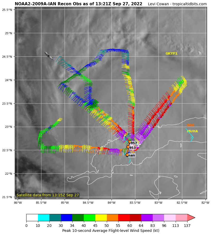
I keep seeing this heading more NNE. Recon fixes are confirming this
2 likes
The following post is NOT an official forecast and should not be used as such. It is just the opinion of the poster and may or may not be backed by sound meteorological data. It is NOT endorsed by any professional institution including storm2k.org For Official Information please refer to the NHC and NWS products.
Re: ATL: IAN - Hurricane - Discussion
ronjon wrote:GCANE wrote:CAPE slowly increasing west of Tampa.
Up to 3000
What does that mean?
More energy to ramp up
1 likes

Re: ATL: IAN - Hurricane - Discussion
GCANE wrote:CAPE slowly increasing west of Tampa.
Up to 3000
i am here all the time but maybe it would be helpful to those here for the first time, what that means and what it means to storm development
Last edited by CronkPSU on Tue Sep 27, 2022 8:49 am, edited 1 time in total.
1 likes
Just like Jon Snow..."I know nothing" except what I know, and most of what I know is gathered by the fine people of the NHC
-
PandaCitrus
- Category 1

- Posts: 424
- Joined: Mon Sep 04, 2017 2:44 pm
Re: ATL: IAN - Hurricane - Discussion
They are just putting out the best data available. TVCN consensus model is southern Sarasota County and with possible east shifts it could come in further south. There's currently 1 Million+ in the Ft. Myers/Naples metro not taking this storm seriously and it is very possible if it comes in on the south track the shear may not weaken it in time and it comes in at a Cat 4. I believe NHC will move the track south and east at 11AM from looking at the data.
1 likes
Re: ATL: IAN - Hurricane - Discussion
tolakram wrote:emeraldislenc wrote:Just announced at the Governor of Florida's news conference it was announced the NHC just told the Governor that the anticipated landfall would be Venice Florida at an estimated wind of 125.
Source it or it did not happen. I doubt the NHC gave an exact landfall location.
https://www.cbsnews.com/live-updates/hu ... 022-09-27/
2 likes
Re: ATL: IAN - Hurricane - Discussion
East of track again.

5 likes
The following post is NOT an official forecast and should not be used as such. It is just the opinion of the poster and may or may not be backed by sound meteorological data. It is NOT endorsed by any professional institution including storm2k.org For Official Information please refer to the NHC and NWS products.
-
Blown Away

- S2K Supporter

- Posts: 10253
- Joined: Wed May 26, 2004 6:17 am
Re: ATL: IAN - Hurricane - Discussion

Pretty clear movement, nice to have a well defined eye.
5 likes
Hurricane Eye Experience: David 79, Irene 99, Frances 04, Jeanne 04, Wilma 05… Hurricane Brush Experience: Andrew 92, Erin 95, Floyd 99, Matthew 16, Irma 17, Ian 22, Nicole 22…
Re: ATL: IAN - Hurricane - Discussion
Wobble watching isn't a productive use of time. People were talking about Isle of Youth landfall only last night, so it may well correct west again.
6 likes
Re: ATL: IAN - Hurricane - Discussion
Hitting the water with a vengeance.
Near 60mm/hr rain rate.
High probability goes to a Cat 4.
Near 60mm/hr rain rate.
High probability goes to a Cat 4.
5 likes
Re: ATL: IAN - Hurricane - Discussion
Iceresistance wrote:aspen wrote:Emerging off of Cuba with an excellent structure.
https://i.imgur.com/SQI6uRc.jpg
I'm now very concerned about RI until landfall. I thought it was highly unlikely, but now that Ian's track has shifted further east and it didn't take much of a hit from its Cuba landfall, it has become a very real possibility. It might not get nearly as much shear with this track as it would've if it went north of Tampa towards the panhandle. Also, SSTs/MPI are nuclear in Ian's path. Let's hope that shear kicks in sooner than later.
https://i.imgur.com/zJ4AjEr.png
https://i.imgur.com/4TrraX2.png
This unfortunately does not appear to be the case because the wind shear appears to be favorable directionally.
Unless I'm mistaken, Wxman57 discussed the shear that will affect Ian, and weaken it somewhat upon its approach to land...this is an excerpt from the 5am NHC discussion..."By 24
to 36 hours, increasing southwesterly vertical wind shear and drier
mid-level air are likely to result in some gradual weakening." By favorable wind shear, do you mean favorable because it will weaken Ian somewhat?....Just to be clear Ice, thanks!
1 likes
Re: ATL: IAN - Hurricane - Discussion
Hopefully the trough will get that 300mb jet well over Tampa before landfall.
1 likes

Re: ATL: IAN - Hurricane - Discussion
ronjon wrote:GCANE wrote:CAPE slowly increasing west of Tampa.
Up to 3000
What does that mean?
Storm fuel
Convective Available Potential Energy
Cape and other measurements are used to forecast storm volatility.
To keep it simple, a tornado can spin up in 1000 cape with other environment support.
5 likes

Re: ATL: IAN - Hurricane - Discussion
blp wrote:I keep seeing this heading more NNE. Recon fixes are confirming this
https://uploads.disquscdn.com/images/ec25e41ad8bdad9309ada4dd0f333a4e284991748ef080e1af8d3fc6a3f1f958.png
With how fast pressure was rising over land, Ian might have actually been in the lower 940s as at least a high-end Cat 3, possibly Cat 4, at Cuba landfall.
That would be insane as it was "only" 90 kts at 11pm, and recon supported 95 kts at ~12am. Explosive intensification just before landfall likely happened.
2 likes
TC naming lists: retirements and intensity
Most aggressive Advisory #1's in North Atlantic (cr. kevin for starting the list)
Most aggressive Advisory #1's in North Atlantic (cr. kevin for starting the list)
Re: ATL: IAN - Hurricane - Discussion
URGENT - IMMEDIATE BROADCAST REQUESTED
Tornado Watch Number 544
NWS Storm Prediction Center Norman OK
855 AM EDT Tue Sep 27 2022
https://www.spc.noaa.gov/products/watch/ww0544.html
The NWS Storm Prediction Center has issued a
* Tornado Watch for portions of
South Florida
Coastal Waters
* Effective this Tuesday morning and afternoon from 855 AM until
500 PM EDT.
* Primary threats include...
A few tornadoes possible
4 likes
-
eastcoastFL

- Category 5
- Posts: 3996
- Age: 44
- Joined: Thu Apr 12, 2007 12:29 pm
- Location: Palm City, FL
Re: ATL: IAN - Hurricane - Discussion

1 likes
Personal Forecast Disclaimer:
The posts in this forum are NOT official forecast and should not be used as such. They are just the opinion of the poster and may or may not be backed by sound meteorological data. They are NOT endorsed by any professional institution or storm2k.org. For official information, please refer to the NHC and NWS products.
The posts in this forum are NOT official forecast and should not be used as such. They are just the opinion of the poster and may or may not be backed by sound meteorological data. They are NOT endorsed by any professional institution or storm2k.org. For official information, please refer to the NHC and NWS products.
-
emeraldislenc
- Category 2

- Posts: 601
- Joined: Fri Aug 24, 2012 4:49 pm
- Location: Emerald Isle NC
Re: ATL: IAN - Hurricane - Discussion
Down the rode I think we could see more problems for Florida east coast and potentially the southeast coast of US especially if the storm moves into the Atlantic.
4 likes
Who is online
Users browsing this forum: No registered users and 21 guests