FLLurker32 wrote:dukeblue219 wrote:bonitabeachbum wrote:So I bugged out. Live in Bonita Springs, bugged out to Miami on Tuesday afternoon.
I'll be blunt. I don't think the models did a good job at all on this one. GFS especially.
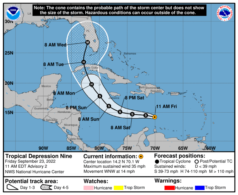
The only reason I bugged out is that I was watching every run (I have been tracking canes for work for 15 years) and talking to my professional met friend. I picked up on the trend to the east and also the repeated incorrect initialization of the storm as too far west. Once the 12z GFS came out on Tuesday I knew we had to go, but as of that morning NHC still had a Tampa track! The UKM was probably the only one that warned me all along, and man I hated that little bugger but it was right.
Anyway, kids are fine & house is fine, but someone smarter than me needs to figure out wtf the GFS was thinking and why models kept initializing so far east. It probably cost billions of dollars and maybe people's lives as well.
Compare where we are today with twenty years ago when it was all GFDL and NOGAPS and whatever else. Models would swing storms like this from Texas to Louisiana to Florida and back 48 hours out.
The NHC made it clear that the middle of the west coast of Florida was at risk. I don't know what else they can do if people (speaking generally) see a track from the south pointed at Tampa and decide that means Ft Myers is safe. The actual point of landfall was targeted by multiple models a week out and within the NHC cone for days.
Some just don’t believe it or leave no matter what. When it was projected for Tampa I had to beg my cousin to leave St.Pete and she was in a mandatory evacuation zone with a 1 year old. She just didn’t understand what storm surge is.

My inlaws live in a low lying area of St. Pete. We begged them to leave for two days, and they resisted, but finally came to stay with us yesterday. So, of course, today, we heard about 73 times how they never should have left.
Next time, I can almost guarantee they
won't leave. No matter the forecast.


 Hurricanes: