

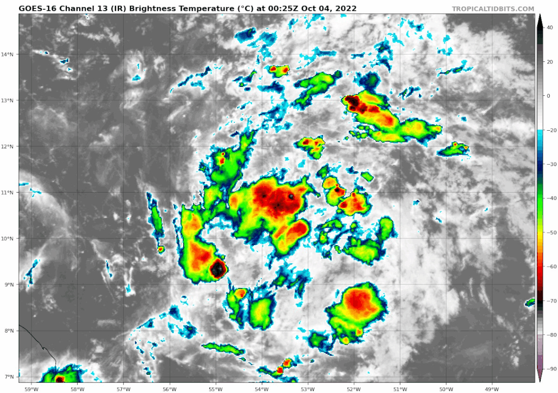
galaxy401 wrote:I still feel like the odds should be a little higher despite the low model support at the moment. A rotation is evident, just needs more convection.
Maybe the NHC is hesitant to give high odds to a good-looking system without much model support after PTC-4. I think 91L has much lower odds than PTC-4 ever had because of that stubborn ULL, which seems to shear it apart on all of the global models runs.


