Tropical Storm Paine Discussion Number 2
NWS National Hurricane Center Miami FL EP172022
900 PM MDT Mon Oct 03 2022
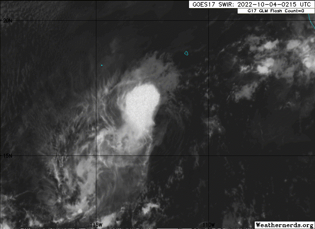
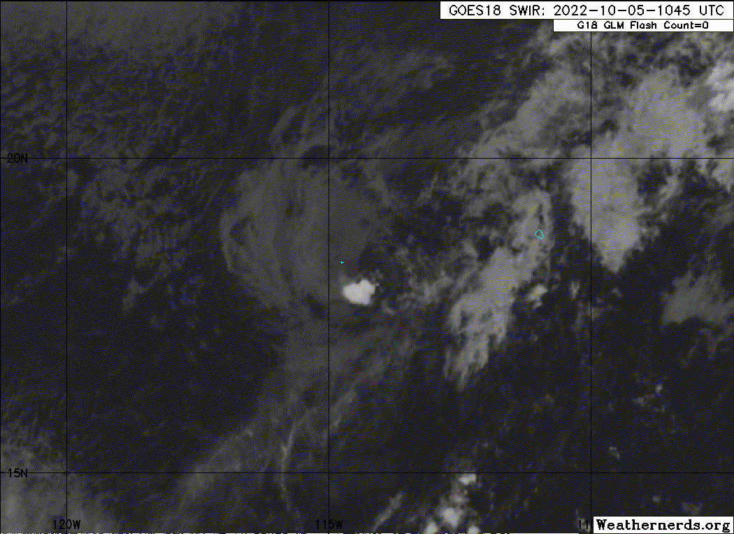
The structure of Paine this evening appears to be holding steady,
with deep convective cloud tops between -70 to -80 C pulsing
primarily to the east of the well-defined low-level center. While
deep-layer vertical wind shear diagnosed by SHIPS guidance is
currently low (under 10 kt), the shear below this layer appears to
be higher, and this is likely what is resulting in the current
sheared appearance on satellite. Subjective Dvorak numbers from both
TAFB and SAB were CI 2.0/30-kt at 0000 UTC, while UW-CIMSS ADT was a
bit higher at T2.5/35-kt. The initial intensity is held at 35-kt in
deference to the earlier ASCAT data and higher ADT estimate.
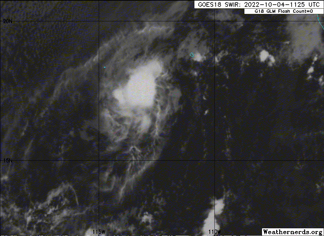
The regional hurricane guidance suggests the environmental mid-level
shear will continue, and the deep-layer shear is expected to
increase markedly after 24 hours. In addition, the tropical cyclone
is embedded in a dry mid-level environment (sub 50 percent) which
should also prevent significant convective organization in the
short-term. Still, the 12 hour forecast provides an opportunity for
the storm to intensify a bit during the diurnal convective maximum.
However, Paine's intensification is likely to be short-lived, with
gradual weakening expected thereafter as shear increases and the
thermodynamic environment begins to decline. The simulated IR
imagery from the ECWMF and HWRF models suggest convection will
subside near the cyclone in the 48-60 hour mark, and the latest
forecast makes Paine a remnant low by the 60 h mark. The intensity
forecast largely follows the latest consensus aids, aside from being
a bit higher in 12 h, similar to the LGEM guidance.
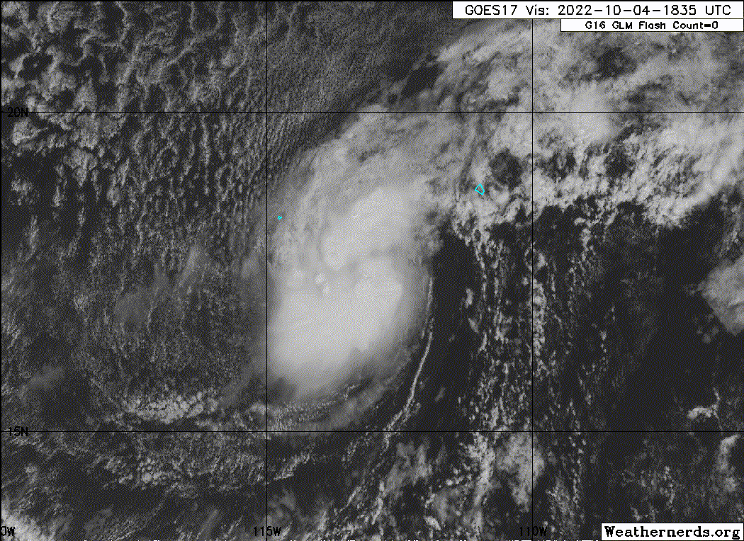
The initial motion remains off to the north-northwest estimated at
335/5 kt. The cyclone is currently feeling a mid-level weakness in
the ridge to its north which should allow the system to gain more
latitude in the short-term while it remains convectively coupled.
However by 36-48 hours, this convective activity should wane,
leaving Paine to be steered more by the low-level trade winds,
generally westward. The track guidance this cycle is in two camps,
with the ECMWF and regional hurricane models (HWRF/HMON) faster to
the north, while the GFS and Canadian, which do not have a good
current representation of Paine, are slower and turn the cyclone to
the west earlier. The track forecast follows closer to the ECMWF and
the HFIP corrected consensus approach, which leans towards a
somewhat faster and more poleward motion for the first 48 hours of
the forecast.
FORECAST POSITIONS AND MAX WINDS
INIT 04/0300Z 16.5N 112.3W 35 KT 40 MPH
12H 04/1200Z 17.2N 112.6W 40 KT 45 MPH
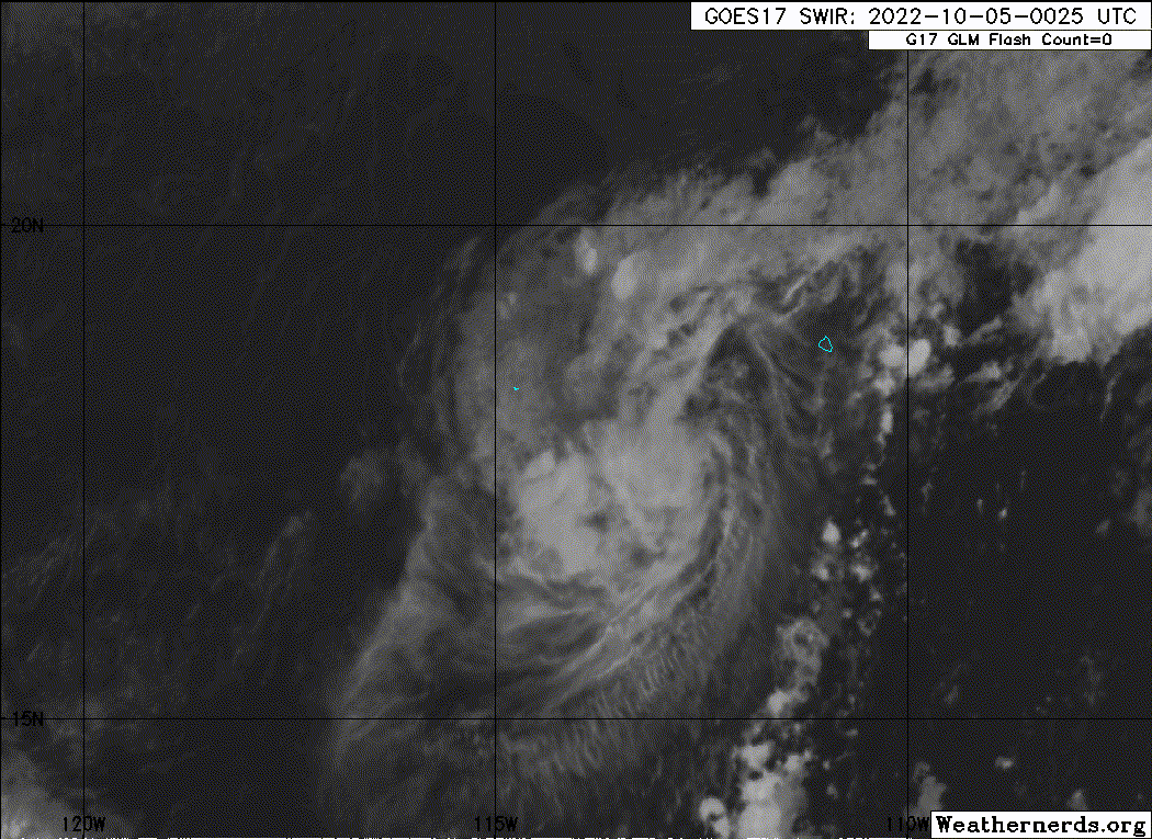
24H 05/0000Z 18.0N 113.1W 35 KT 40 MPH
36H 05/1200Z 18.7N 113.8W 35 KT 40 MPH
48H 06/0000Z 19.1N 114.2W 30 KT 35 MPH
60H 06/1200Z 19.3N 114.7W 25 KT 30 MPH...POST-TROP/REMNT LOW
72H 07/0000Z 19.3N 115.4W 25 KT 30 MPH...POST-TROP/REMNT LOW
96H 08/0000Z...DISSIPATED
$$
Forecaster Papin
NWS National Hurricane Center Miami FL EP172022
900 PM MDT Mon Oct 03 2022
The structure of Paine this evening appears to be holding steady,
with deep convective cloud tops between -70 to -80 C pulsing
primarily to the east of the well-defined low-level center. While
deep-layer vertical wind shear diagnosed by SHIPS guidance is
currently low (under 10 kt), the shear below this layer appears to
be higher, and this is likely what is resulting in the current
sheared appearance on satellite. Subjective Dvorak numbers from both
TAFB and SAB were CI 2.0/30-kt at 0000 UTC, while UW-CIMSS ADT was a
bit higher at T2.5/35-kt. The initial intensity is held at 35-kt in
deference to the earlier ASCAT data and higher ADT estimate.
The regional hurricane guidance suggests the environmental mid-level
shear will continue, and the deep-layer shear is expected to
increase markedly after 24 hours. In addition, the tropical cyclone
is embedded in a dry mid-level environment (sub 50 percent) which
should also prevent significant convective organization in the
short-term. Still, the 12 hour forecast provides an opportunity for
the storm to intensify a bit during the diurnal convective maximum.
However, Paine's intensification is likely to be short-lived, with
gradual weakening expected thereafter as shear increases and the
thermodynamic environment begins to decline. The simulated IR
imagery from the ECWMF and HWRF models suggest convection will
subside near the cyclone in the 48-60 hour mark, and the latest
forecast makes Paine a remnant low by the 60 h mark. The intensity
forecast largely follows the latest consensus aids, aside from being
a bit higher in 12 h, similar to the LGEM guidance.
The initial motion remains off to the north-northwest estimated at
335/5 kt. The cyclone is currently feeling a mid-level weakness in
the ridge to its north which should allow the system to gain more
latitude in the short-term while it remains convectively coupled.
However by 36-48 hours, this convective activity should wane,
leaving Paine to be steered more by the low-level trade winds,
generally westward. The track guidance this cycle is in two camps,
with the ECMWF and regional hurricane models (HWRF/HMON) faster to
the north, while the GFS and Canadian, which do not have a good
current representation of Paine, are slower and turn the cyclone to
the west earlier. The track forecast follows closer to the ECMWF and
the HFIP corrected consensus approach, which leans towards a
somewhat faster and more poleward motion for the first 48 hours of
the forecast.
FORECAST POSITIONS AND MAX WINDS
INIT 04/0300Z 16.5N 112.3W 35 KT 40 MPH
12H 04/1200Z 17.2N 112.6W 40 KT 45 MPH
24H 05/0000Z 18.0N 113.1W 35 KT 40 MPH
36H 05/1200Z 18.7N 113.8W 35 KT 40 MPH
48H 06/0000Z 19.1N 114.2W 30 KT 35 MPH
60H 06/1200Z 19.3N 114.7W 25 KT 30 MPH...POST-TROP/REMNT LOW
72H 07/0000Z 19.3N 115.4W 25 KT 30 MPH...POST-TROP/REMNT LOW
96H 08/0000Z...DISSIPATED
$$
Forecaster Papin