underthwx wrote:The National Hurricane Center shows Karls 7am Thursday position south/southwest of where it is located today, on a course towards a landfall in southern Mexico where preparations should be made for tropical storm conditions during the forecasted period, designated by the National Hurricane Center....
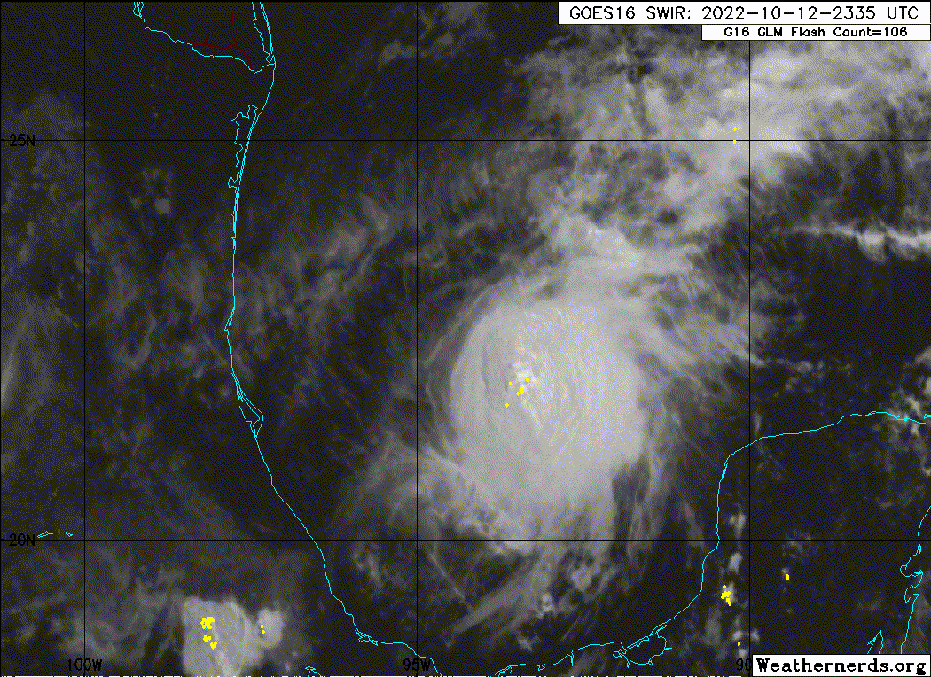
Looks like mostly open farmlands with isolated small towns down there. Biggest threat will be heavy rainfall in some areas. Since most of the rain will be east of the center, it could reach all the way to Coatzacoalcos, the only large city down there. We have the center moving inland about 50 miles east of the NHC, right into Coatzacoalcos with peak wind 40 mph out over the water.
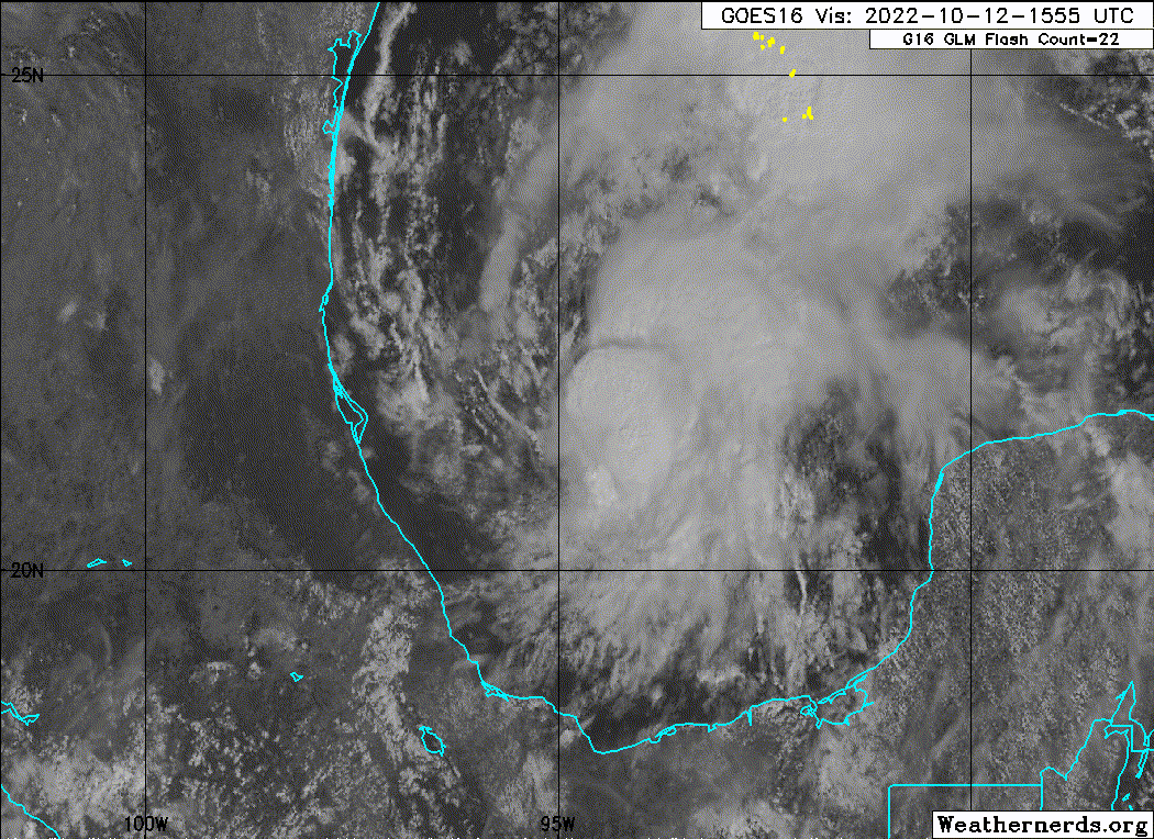
Karl should be weakening as it reaches the coast, too. Increasing westerly shear is beginning to impact Karl. Very little in the way of squalls in its western half. Shear will be increasing from now up to landfall.