ATL: INVEST 94L - Discussion
Moderator: S2k Moderators
-
Sciencerocks
- Category 5

- Posts: 10181
- Age: 40
- Joined: Thu Jul 06, 2017 1:51 am
-
cycloneye

- Admin

- Posts: 149214
- Age: 69
- Joined: Thu Oct 10, 2002 10:54 am
- Location: San Juan, Puerto Rico
Re: ATL: INVEST 94L - Discussion
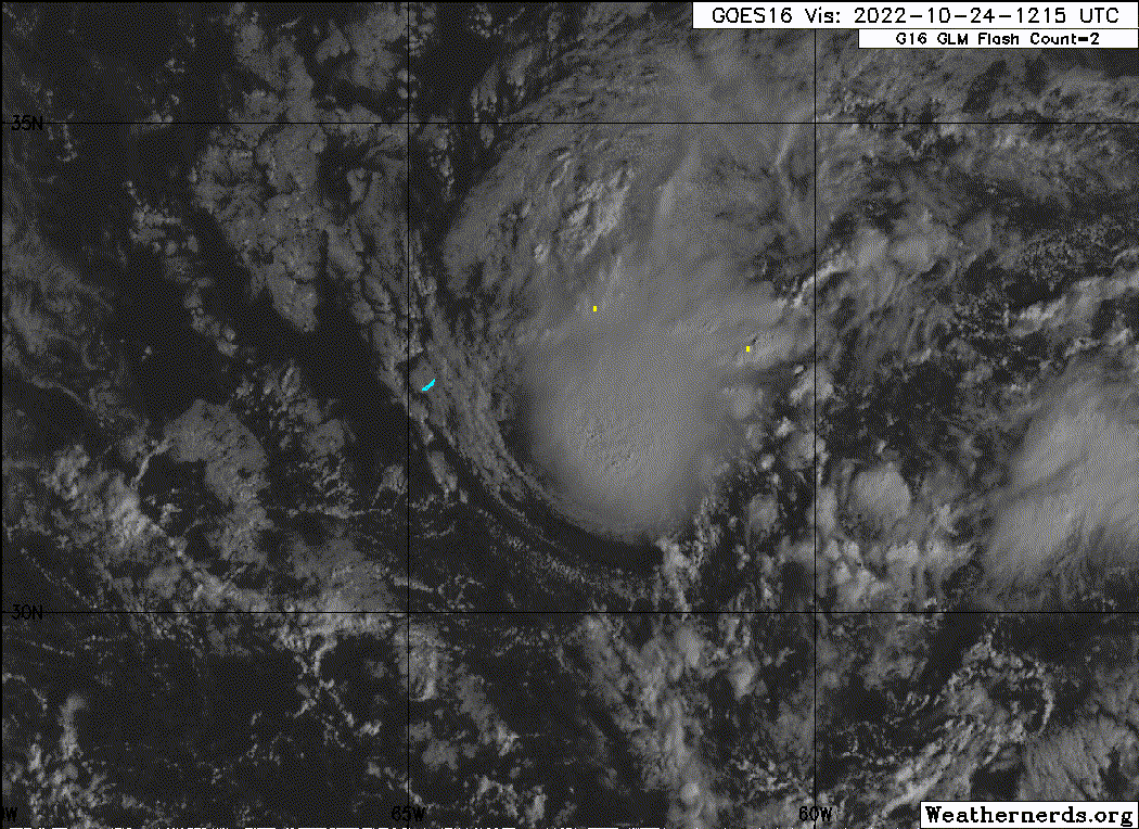
Central Subtropical Atlantic:
Satellite and Bermuda radar images indicate that the low pressure
system located about 100 miles east-southeast of Bermuda now has a
well-defined center and is producing a relatively concentrated area
of showers and thunderstorms. If the thunderstorm activity
persists near the center, the disturbance will likely become
a tropical depression later today or tonight while it moves
west-northwestward and passes near Bermuda. After that time, the
system is expected to turn northward and move toward cooler waters
and into a region of unfavorable upper-level winds, which should
limit additional development. Regardless of development, periods
of locally heavy rainfall and gusty winds are expected over Bermuda
through tonight. Interests in Bermuda should monitor the progress
of this system.
* Formation chance through 48 hours...high...70 percent.
* Formation chance through 5 days...high...70 percent.
0 likes
Visit the Caribbean-Central America Weather Thread where you can find at first post web cams,radars
and observations from Caribbean basin members Click Here
and observations from Caribbean basin members Click Here
-
Iceresistance

- Category 5
- Posts: 9574
- Age: 22
- Joined: Sat Oct 10, 2020 9:45 am
- Location: Tecumseh, OK/Norman, OK
Re: ATL: INVEST 94L - Discussion
Next name is Lisa.
0 likes
Bill 2015 & Beta 2020
Winter 2020-2021
All observations are in Tecumseh, OK unless otherwise noted.
Winter posts are focused mainly for Oklahoma & Texas.
Take any of my forecasts with a grain of salt, refer to the NWS, SPC, and NHC for official information
Never say Never with weather! Because ANYTHING is possible!
Winter 2020-2021
All observations are in Tecumseh, OK unless otherwise noted.
Winter posts are focused mainly for Oklahoma & Texas.
Take any of my forecasts with a grain of salt, refer to the NWS, SPC, and NHC for official information
Never say Never with weather! Because ANYTHING is possible!
-
cycloneye
- Admin
- Posts: 149214
- Age: 69
- Joined: Thu Oct 10, 2002 10:54 am
- Location: San Juan, Puerto Rico
Re: ATL: INVEST 94L - Discussion
0 likes
Visit the Caribbean-Central America Weather Thread where you can find at first post web cams,radars
and observations from Caribbean basin members Click Here
and observations from Caribbean basin members Click Here

Re: ATL: INVEST 94L - Discussion
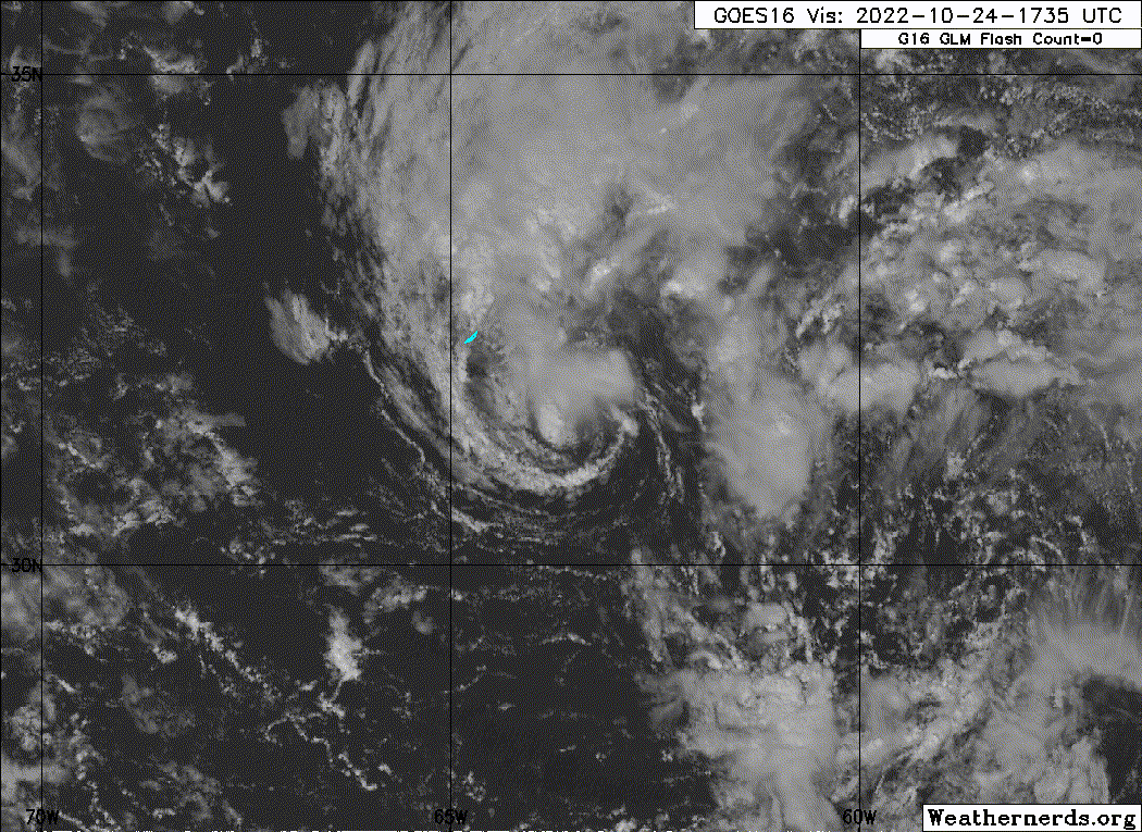
All 94L needs to be without-a-doubt classifiable is just one more convective burst over the center, then we could have TS Lisa in the next 24 hours before it gets ripped apart.
0 likes
Irene '11 Sandy '12 Hermine '16 5/15/2018 Derecho Fay '20 Isaias '20 Elsa '21 Henri '21 Ida '21
I am only a meteorology enthusiast who knows a decent amount about tropical cyclones. Look to the professional mets, the NHC, or your local weather office for the best information.
I am only a meteorology enthusiast who knows a decent amount about tropical cyclones. Look to the professional mets, the NHC, or your local weather office for the best information.
-
Sciencerocks
- Category 5
- Posts: 10181
- Age: 40
- Joined: Thu Jul 06, 2017 1:51 am
Re: ATL: INVEST 94L - Discussion
Within my opinion this is a tropical cyclone and is now included in my archives. Disagree if you wish but that is my god given opinion. 
3 likes
-
Sciencerocks
- Category 5
- Posts: 10181
- Age: 40
- Joined: Thu Jul 06, 2017 1:51 am
-
Sciencerocks
- Category 5
- Posts: 10181
- Age: 40
- Joined: Thu Jul 06, 2017 1:51 am

Re: ATL: INVEST 94L - Discussion
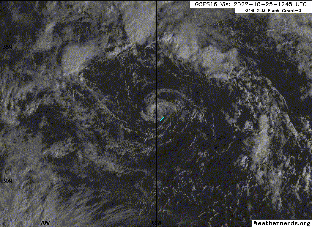
Sciencerocks wrote:https://imagizer.imageshack.com/img923/5995/CfYA3T.gif
This loop shows it already recurving to a northward heading, which is a bit sooner than model consensus has been showing.
Also, here's the latest TWO:
Tropical Weather Outlook
NWS National Hurricane Center Miami FL
800 AM EDT Tue Oct 25 2022
For the North Atlantic...Caribbean Sea and the Gulf of Mexico:
1. Northwestern Atlantic:
Showers and thunderstorms have decreased since yesterday in
association with a well-defined area of low pressure located
just west-northwest of Bermuda. Environmental conditions are
becoming less conducive for development, and the chance of this
system becoming a short-lived tropical depression appears to be
decreasing. The low is expected to move northward towards cooler
waters and into a region of unfavorable upper-level winds by
tonight, which should limit further development. Regardless of
development, periods of locally heavy rainfall and gusty winds are
expected over Bermuda though this morning. Interests in Bermuda
should monitor the progress of this system.
* Formation chance through 48 hours...medium...40 percent.
* Formation chance through 5 days...medium...40 percent.
0 likes
Personal Forecast Disclaimer:
The posts in this forum are NOT official forecasts and should not be used as such. They are just the opinion of the poster and may or may not be backed by sound meteorological data. They are NOT endorsed by any professional institution or storm2k.org. For official information, please refer to the NHC and NWS products.
The posts in this forum are NOT official forecasts and should not be used as such. They are just the opinion of the poster and may or may not be backed by sound meteorological data. They are NOT endorsed by any professional institution or storm2k.org. For official information, please refer to the NHC and NWS products.
-
cycloneye
- Admin
- Posts: 149214
- Age: 69
- Joined: Thu Oct 10, 2002 10:54 am
- Location: San Juan, Puerto Rico
Re: ATL: INVEST 94L - Discussion
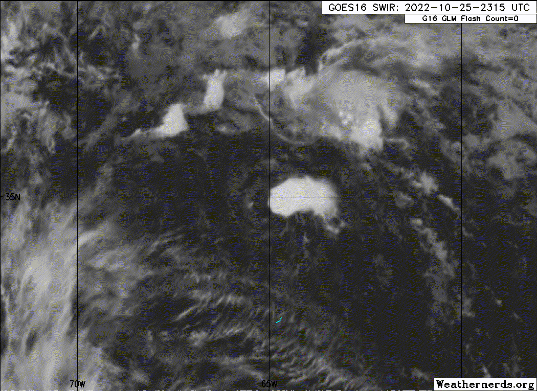
Burst of convection.

1 likes
Visit the Caribbean-Central America Weather Thread where you can find at first post web cams,radars
and observations from Caribbean basin members Click Here
and observations from Caribbean basin members Click Here
Re: ATL: INVEST 94L - Discussion
This is at the longitude of Bermuda moving due N, which is east of the model consensus. The models have been having it go NW to NNW from Bermuda. So, the LLC (or remnant center) is more likely to stay offshore the NE US imho.
0 likes
Personal Forecast Disclaimer:
The posts in this forum are NOT official forecasts and should not be used as such. They are just the opinion of the poster and may or may not be backed by sound meteorological data. They are NOT endorsed by any professional institution or storm2k.org. For official information, please refer to the NHC and NWS products.
The posts in this forum are NOT official forecasts and should not be used as such. They are just the opinion of the poster and may or may not be backed by sound meteorological data. They are NOT endorsed by any professional institution or storm2k.org. For official information, please refer to the NHC and NWS products.
-
Sciencerocks
- Category 5
- Posts: 10181
- Age: 40
- Joined: Thu Jul 06, 2017 1:51 am
Who is online
Users browsing this forum: No registered users and 30 guests