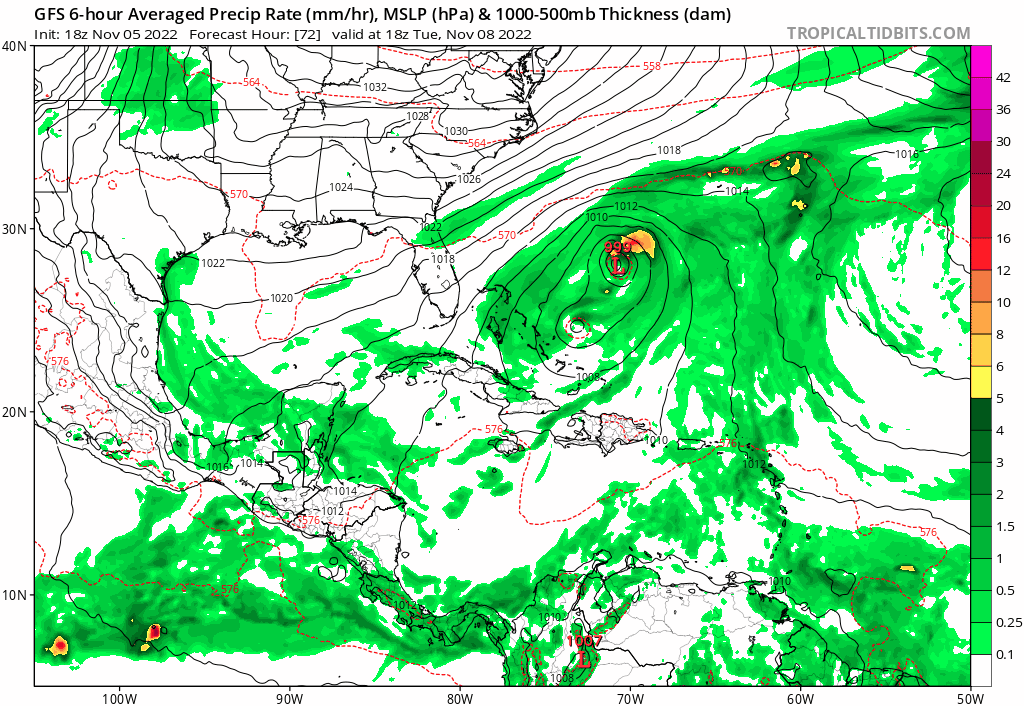
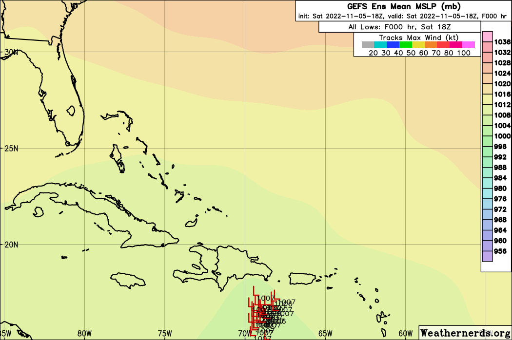
gatorcane wrote:ICON coming in a bit stronger, approaching Florida east coast at 993MB as opposed to 1001MB on the 12Z (108 hours).
Yes indeed.

Moderator: S2k Moderators


gatorcane wrote:ICON coming in a bit stronger, approaching Florida east coast at 993MB as opposed to 1001MB on the 12Z (108 hours).


GCANE wrote:cane5 wrote:Can someone please give update on the ICON MODEL ???
Makes a landfall around JAX.
Kinda hard to believe due to the strong Rossby Wave in the vicinity then.
GFS is good at forecasting UL synoptic patterns.
I am going with the S FL landfall as advertised by GFS.

jlauderdal wrote:I was bearish yesterday, today im mid range tsAutoPenalti wrote:jlauderdal wrote:He was rather bearish yesterday.
When isn’t he bearish
I can agree with his forecast, light breeze for south florida, a complete non-event for everybody in the east coast. If he doesn’t trust the GFS in any run, then I would agree with him.

cane5 wrote:GCANE wrote:cane5 wrote:Can someone please give update on the ICON MODEL ???
Makes a landfall around JAX.
Kinda hard to believe due to the strong Rossby Wave in the vicinity then.
GFS is good at forecasting UL synoptic patterns.
I am going with the S FL landfall as advertised by GFS.
Thank you but the ICON seems to make the call early and end up right. Being in South Florida I’m even a bigger fan of ICON.


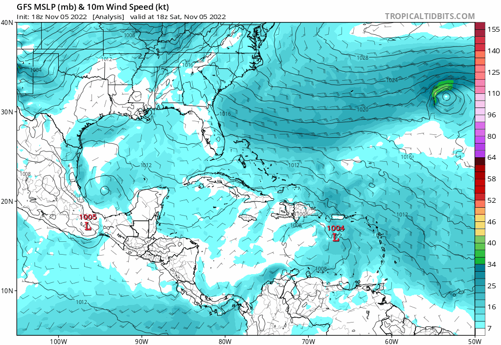
cycloneye wrote:Flooding is occuring in many places and also some mudslides. Preliminary estimates so far are between 8-10 inches in parts of south and SE part of the island.
https://i.imgur.com/mD5U0Us.gif

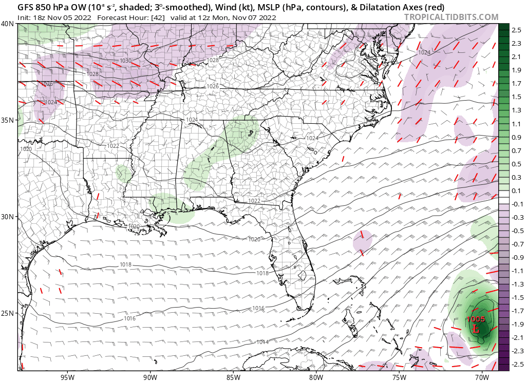
Yeah, the gyre deal seems highly unlikely, toss itBlown Away wrote:
18z GFS… CONUS miss after Bahamas… Much slower than previous runs and some weird big gyre before Bahamas…
Users browsing this forum: No registered users and 192 guests


