

NDG wrote:wxman57 wrote:StormingB81 wrote:WESH and WFTV (Orlando stations) “in house” models showing landfall closer to Brevard. It’s worth noting their models sniffed out Ian’s progress before the models even with the track across the state south of what was forecasted.
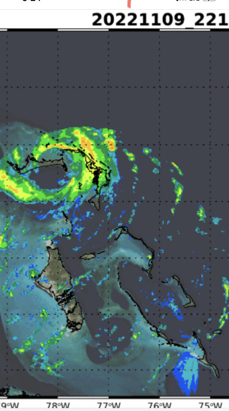
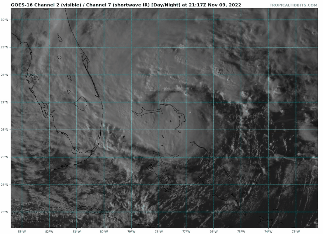
I doubt any TV station is running "in-house" models. With a storm that has such a large area of TS winds, the exact landfall point is less important. Any hurricane force winds may cover only a few square miles out over the water. Expect some strong tropical storm-force winds north of where the center reaches the coast. Beyond then, all that cool, dry air over Florida now will be flowing into Nicole, knocking its core down fairly quickly. Not a big rain producer. I see the latest EC forecasting only 2-3 inches across the eastern half of the Peninsula. This is no Ian. It'll be all gone by Friday afternoon. So ends the season (I hope).
So are you saying that the "cool dry air" will be knocking its core down at landfall? No hurricane force winds at landfall along the coast?
It's unlikely any on-land observation will report sustained winds to hurricane strength (1-min avg). Wind gusts are different, but hurricanes aren't classified by gusts.


